- Châteaudun
-
Châteaudun
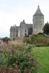
Château de Châteaudun 

 Châteaudun
Administration Country France Region Centre Department Eure-et-Loir Arrondissement Châteaudun Canton Châteaudun Intercommunality Dunois Mayor Didier Huguet
(2008–2014)Statistics Elevation 102–152 m (335–499 ft)
(avg. 140 m/460 ft)Land area1 28.48 km2 (11.00 sq mi) Population2 13,905 (2008) - Density 488 /km2 (1,260 /sq mi) INSEE/Postal code 28088/ 28200 1 French Land Register data, which excludes lakes, ponds, glaciers > 1 km² (0.386 sq mi or 247 acres) and river estuaries. 2 Population without double counting: residents of multiple communes (e.g., students and military personnel) only counted once. Coordinates: 48°04′18″N 1°20′19″E / 48.071667°N 1.33867°E
Châteaudun is a commune in the Eure-et-Loir department in northern France. It is a sub-prefecture of Eure-et-Loir.
Contents
Geography
Châteaudun is located about 45 km northwest of Orléans, and about 50 km south-southwest of Chartres, on the river Loir, a tributary of the Sarthe.
Population
Historical populations Year Pop. ±% 1793 5,957 — 1800 6,046 +1.5% 1806 6,161 +1.9% 1821 6,042 −1.9% 1831 6,461 +6.9% 1836 6,776 +4.9% 1841 6,580 −2.9% 1846 6,788 +3.2% 1851 6,745 −0.6% 1856 6,542 −3.0% 1861 6,719 +2.7% 1866 6,781 +0.9% 1872 6,552 −3.4% 1876 6,694 +2.2% 1881 7,036 +5.1% 1886 7,284 +3.5% 1891 7,147 −1.9% 1896 7,460 +4.4% 1901 7,146 −4.2% 1906 7,147 +0.0% 1911 7,296 +2.1% 1921 6,587 −9.7% 1926 6,558 −0.4% 1931 6,790 +3.5% 1936 7,057 +3.9% 1946 8,145 +15.4% 1954 9,687 +18.9% 1962 11,982 +23.7% 1968 14,450 +20.6% 1975 15,338 +6.1% 1982 15,319 −0.1% 1990 14,511 −5.3% 1999 14,543 +0.2% 2008 13,905 −4.4% Main sights
Its château is known for being the first on the road to Loire Valley, from Paris.
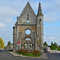
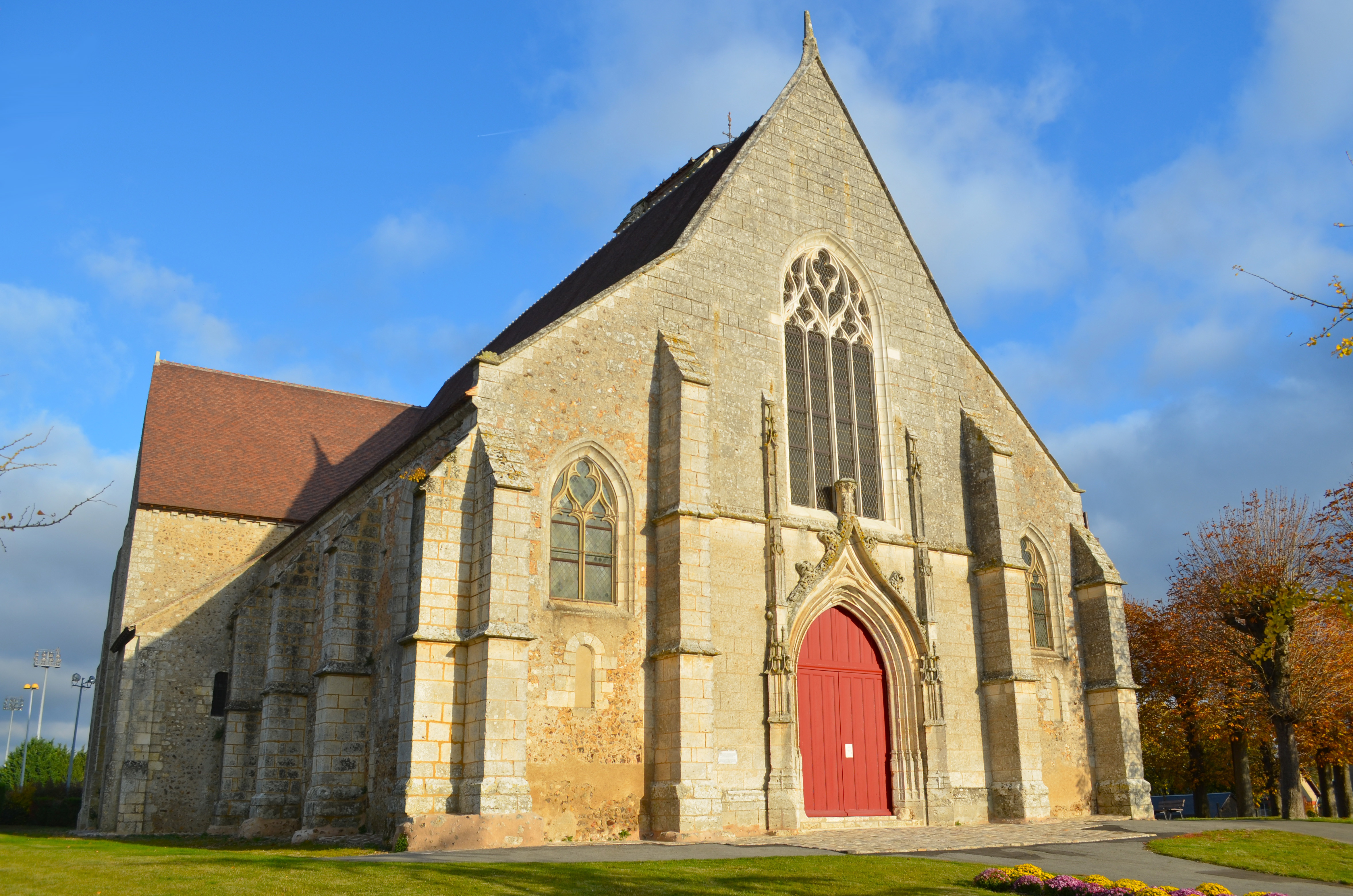
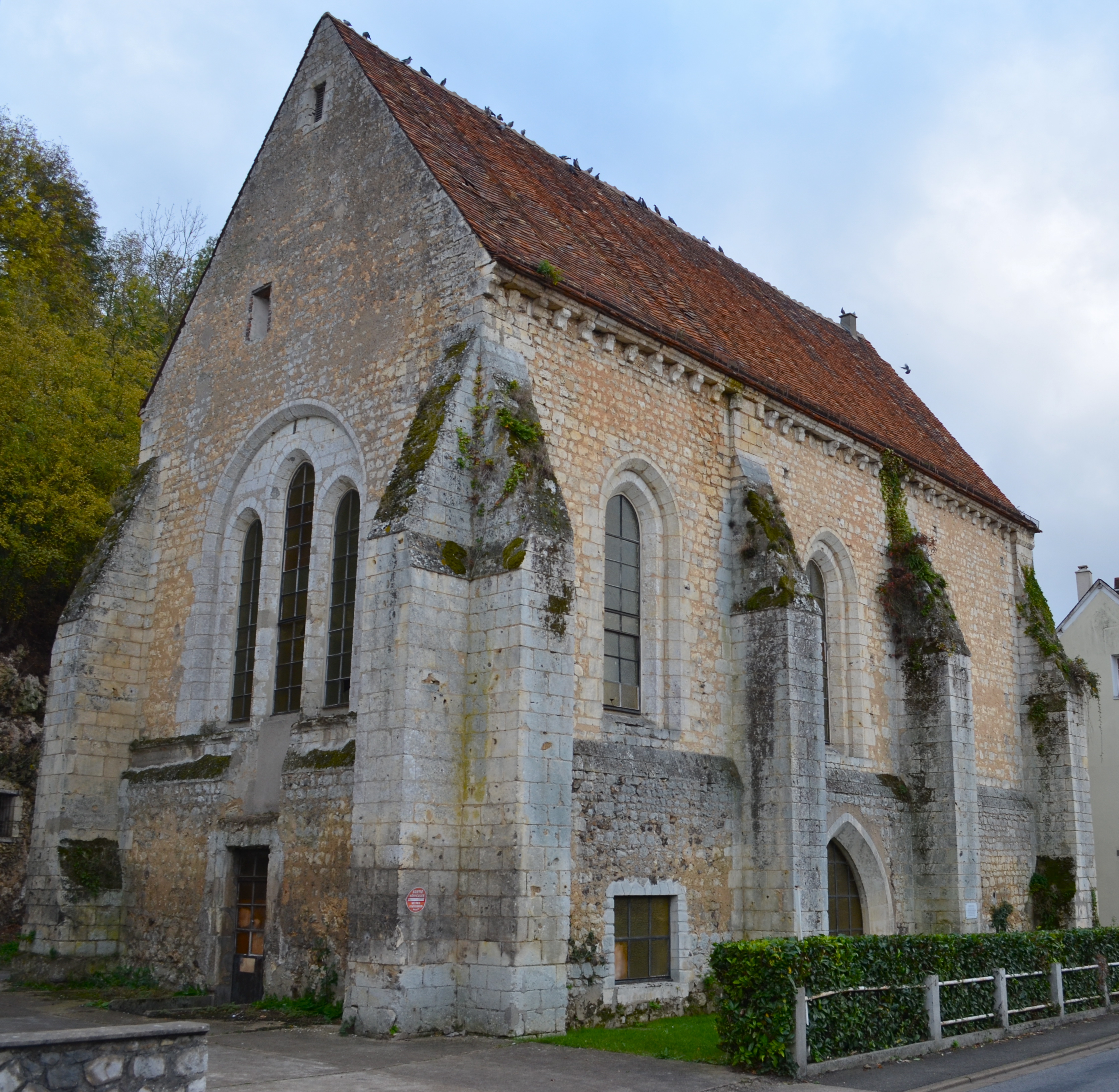
Churches
-
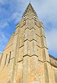
Saint-Valérien
-
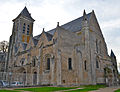
La Madeleine
-

Saint-Jean-de-la-Chaîne
-

Saint-Lubin ruins
-

Saint-Lubin ruins
-
Notre-Dame-du-Champdé chapel (now cemetery entrance)
-

La Boissière chapel
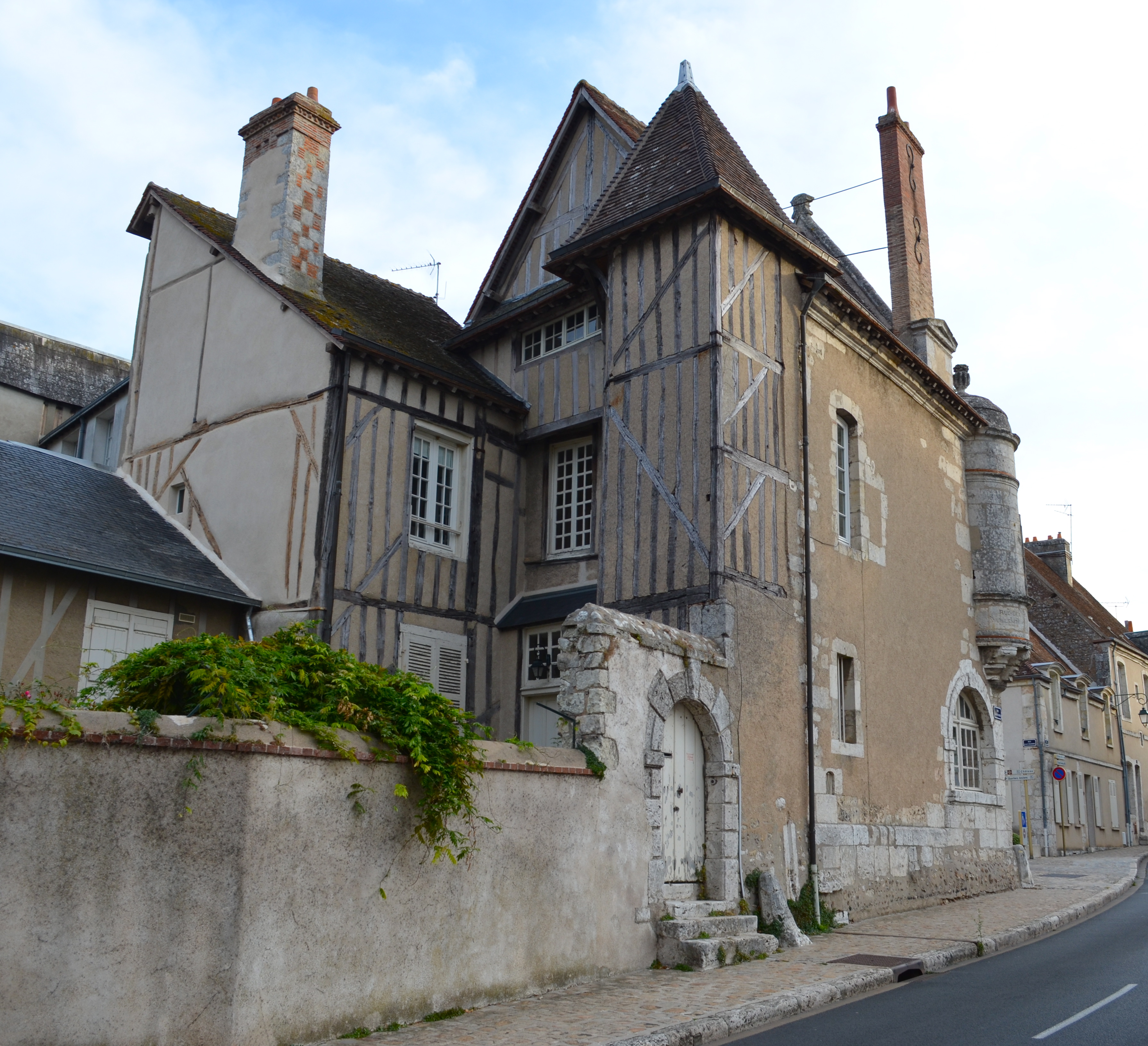
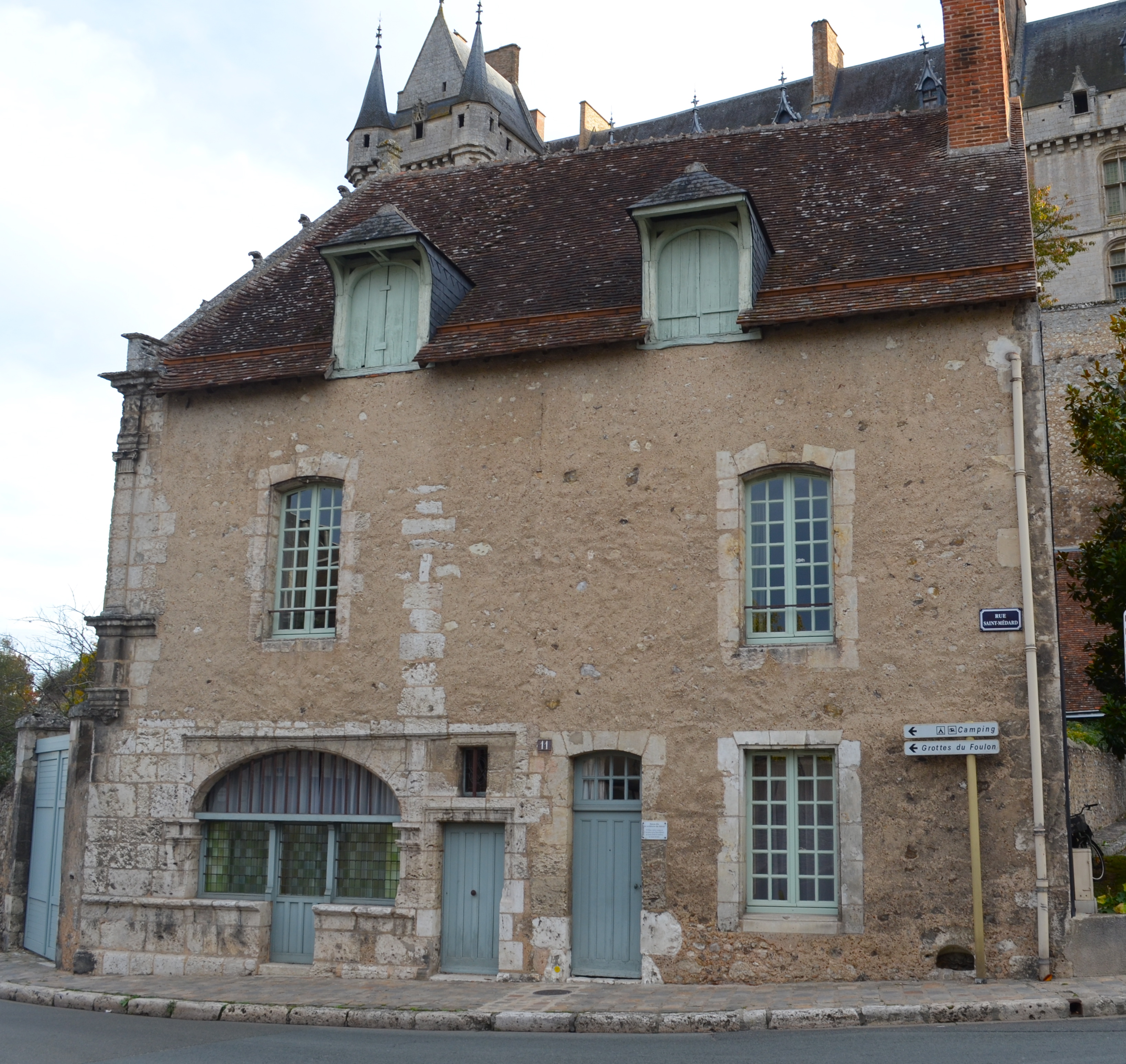
Medieval houses
-

Cuirasserie street and Huileries street angle
-
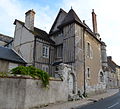
Cuirasserie street and Huileries street angle
-

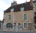
Louis Esnault house
-
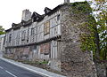
Château's architects' house
-
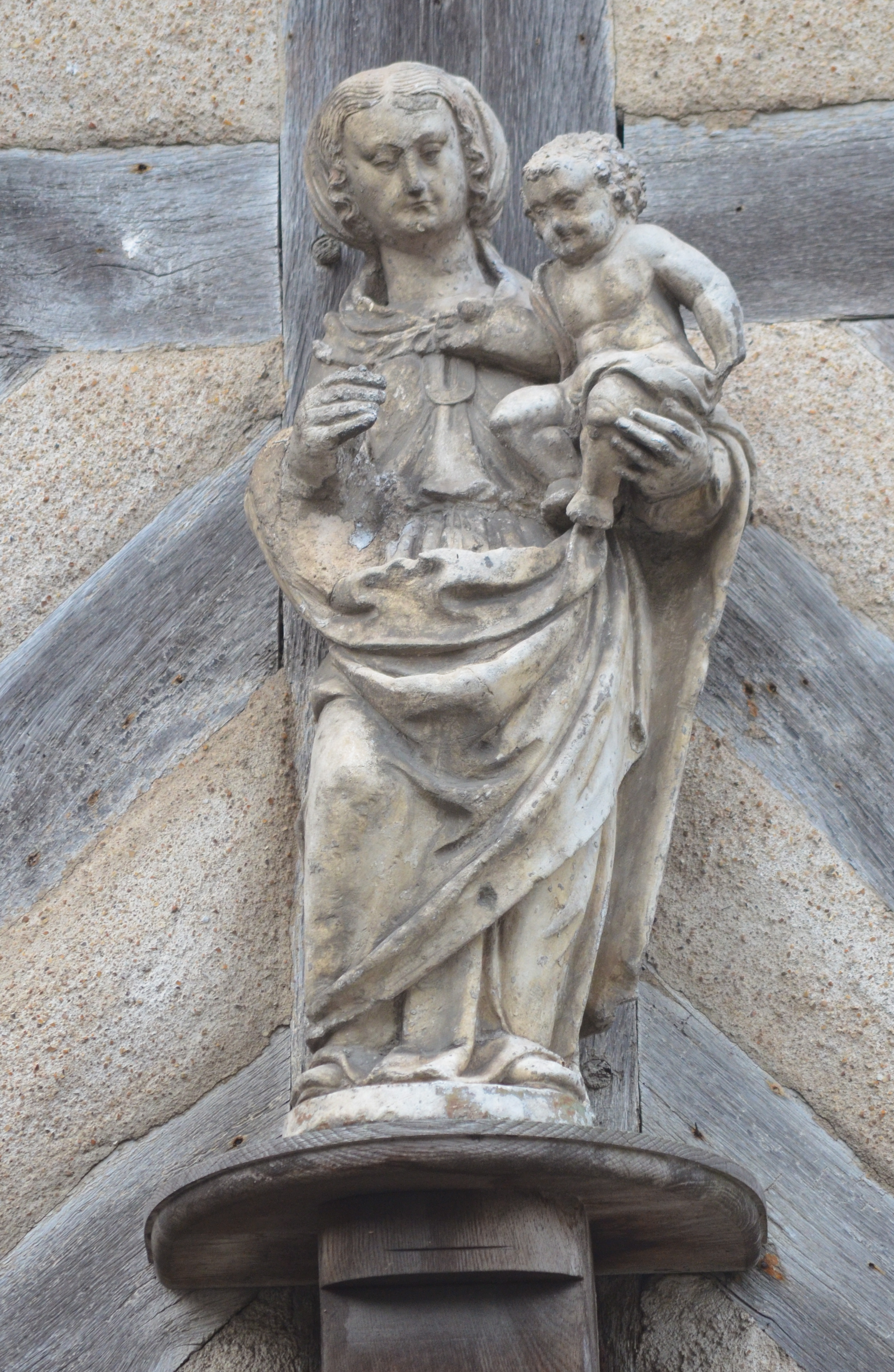
Virgin's house
-
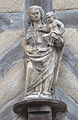
Virgin's house (detail)
Personalities
Châteaudun was the birthplace of:
- Pierre Guédron (1570–1620), composer
- Nicolas Chaperon (1612–1656) painter
- Romain Feillu (1984) road racing cyclist
- Brice Feillu (1985) road racing cyclist
International relations
Châteaudun is twinned with:
 Schweinfurt, Germany
 Cap-de-la-Madeleine (amalgamated into the City of Trois-Rivières in 2002), Canada
 Arklow, Ireland
 Marchena, Spain
 Kroměříž, Czech Republic
 Stranraer, United Kingdom
See also
References
External links
- Official website (in French)
- Tourist office website (in English and French)
-

Châteaudun (Eure-et-Loir) Donjon and chapel of the château
-

Fountain and façade of the town hall of Châteaudun
-

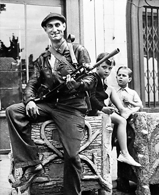
Watched by two small boys, a member of the FFI (French Forces of the Interior) poses with his Bren gun at Chateaudun - 1944
Categories:- Communes of Eure-et-Loir
- Subprefectures in France
- Eure-et-Loir geography stubs
-


Wikimedia Foundation. 2010.