- Prairie City, Oregon
Infobox Settlement
official_name = Prairie City, Oregon
settlement_type =City
nickname =
motto =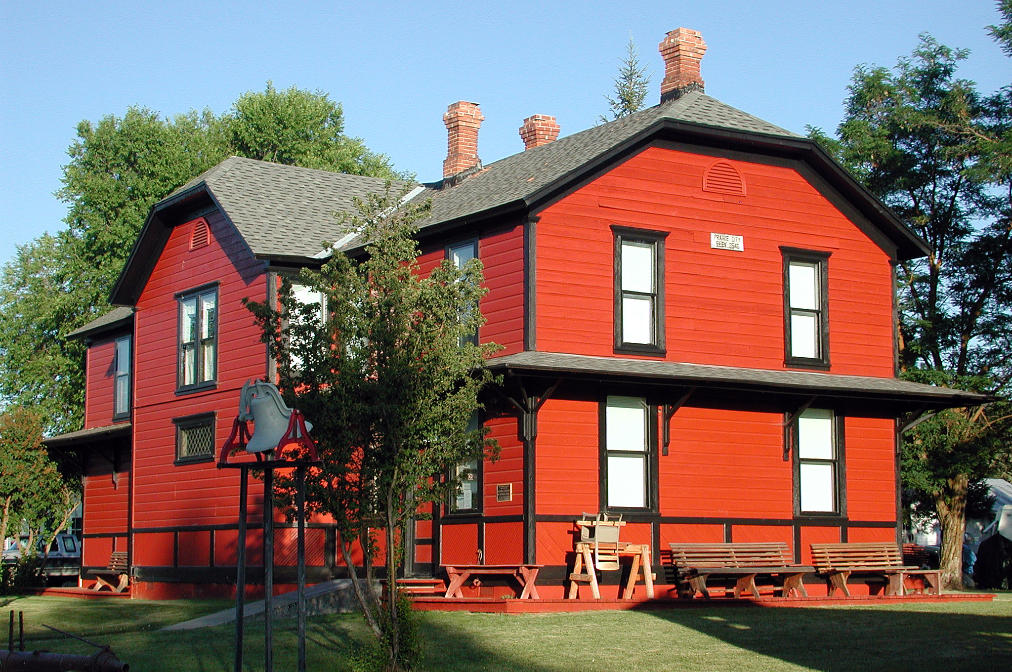
imagesize =
image_caption = DeWitt Museum
image_
image_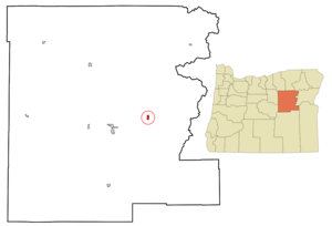
mapsize = 250px
map_caption = Location inOregon
mapsize1 =
map_caption1 =
subdivision_type = Country
subdivision_name =United States
subdivision_type1 = State
subdivision_name1 =Oregon
subdivision_type2 = County
subdivision_name2 = Grant
government_type =
leader_title =Mayor
leader_name = Jim Hamsher
established_title = Incorporated
established_date =1891
area_magnitude =
area_total_sq_mi = 0.9
area_total_km2 = 2.5
area_land_sq_mi = 0.9
area_land_km2 = 2.5
area_water_sq_mi = 0
area_water_km2 = 0
area_urban_sq_mi =
area_urban_km2 =
area_metro_sq_mi =
area_metro_km2 =
population_as_of =2000
population_note =
population_total = 1080
population_metro =
population_urban =
population_density_km2 = 438.9
population_density_sq_mi = 1140.7
timezone = Pacific
utc_offset = -8
timezone_DST = Pacific
utc_offset_DST = -7
latd = 44 |latm = 27 |lats = 34 |latNS = N
longd = 118 |longm = 42 |longs = 33 |longEW = W
elevation_m = 1077.5
elevation_ft = 3535
website = http://www.prairiecityoregon.com/
postal_code_type =ZIP code
postal_code = 97869
area_code = 541
blank_name = FIPS code
blank_info = 41-59650GR|2
blank1_name = GNIS feature ID
blank1_info = 1147975GR|3
footnotes =Prairie City is a city in Grant County,
Oregon ,United States . The population was 1,080 at the 2000 census.Geography
Prairie City is located at coor dms|44|27|34|N|118|42|33|W|city (44.459459, -118.709271)GR|1.
According to the
United States Census Bureau , the city has a total area of 0.9square mile s (2.5km² ), all of it land.Situated at the upper end of the John Day Valley, on the John Day River. Prairie City grew out of the former mining camp of Dixie, which was situated a short distance up Dixie Creek. Prairie City was the western terminus of the Sumpter Valley Railroad which extended over Dixie Summit and Tipton to Seneca and then to Baker City; passenger train service was discontinued in 1937, freight service continued through World War II, but the line was abandoned in 1947. Prairie City boasts a number of historic stone buildings and the Dewitt Museum in the former Railroad Depot. The current economy includes ranching, a lumber mill, a wood-fired co-gen electric power plant, and a number of retail vendors and public services.
Demographics
As of the
census GR|2 of 2000, there were 1,080 people, 433 households, and 286 families residing in the city. Thepopulation density was 1,140.7 people per square mile (438.9/km²). There were 493 housing units at an average density of 520.7/sq mi (200.4/km²). The racial makeup of the city was 95.56% White, 2.13% Native American, 0.09% Asian, 1.20% from other races, and 1.02% from two or more races. Hispanic or Latino of any race were 1.67% of the population.There were 433 households out of which 30.9% had children under the age of 18 living with them, 55.0% were married couples living together, 6.9% had a female householder with no husband present, and 33.9% were non-families. 27.9% of all households were made up of individuals and 10.4% had someone living alone who was 65 years of age or older. The average household size was 2.37 and the average family size was 2.86.
In the city the population was spread out with 25.6% under the age of 18, 4.5% from 18 to 24, 24.4% from 25 to 44, 25.3% from 45 to 64, and 20.2% who were 65 years of age or older. The median age was 42 years. For every 100 females there were 102.6 males. For every 100 females age 18 and over, there were 94.4 males.
The median income for a household in the city was $31,354, and the median income for a family was $35,893. Males had a median income of $31,771 versus $24,500 for females. The
per capita income for the city was $16,278. About 10.6% of families and 14.7% of the population were below thepoverty line , including 17.4% of those under age 18 and 9.4% of those age 65 or over.References
External links
* [http://www.prairiecityoregon.com/ City of Prairie City]
* [http://www.gcoregonlive.com/bus_display.php/137 Grant County Chamber of Commerce entry for Prairie City]
Wikimedia Foundation. 2010.