- Cullivoe
-
Coordinates: 60°42′18″N 1°00′25″W / 60.705°N 1.007°W
Cullivoe 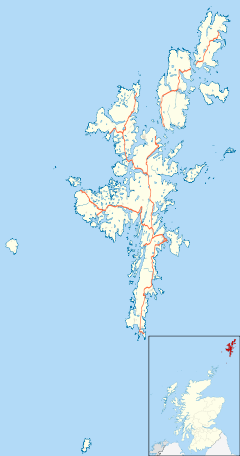
 Cullivoe
Cullivoe shown within ShetlandOS grid reference HP543024 Council area Shetland Lieutenancy area Shetland Country Scotland Sovereign state United Kingdom Post town SHETLAND Postcode district ZE2 Dialling code 01957 Police Northern Fire Highlands and Islands Ambulance Scottish EU Parliament Scotland UK Parliament Orkney and Shetland Scottish Parliament Shetland List of places: UK • Scotland • Cullivoe (Old Norse: Kollavágr - Bay of Kolli), is a village on Yell in the Shetland Islands. It is in the north east of the island, near Bluemull Sound, not far from Unst.
Cullivoe is a fishing port, and was formerly the ferry terminal for Unst, before ro-ro ferries - the terminal is now at Gutcher. Strawberries are also grown here in polythene tunnels.
The ruined church of St Olaf and cemetery give the place an historical air. The Sands of Breckon composed of crushed shells are near here.
North Isles, Shetland Islands Inhabited islands 
Other islands Balta · Brough Holm · Gloup Holm · Haaf Gruney · Hascosay · Huney · Linga · Muckle Flugga · Out Stack · Sound Gruney · Urie Lingey · UyeaTowns and villages Aywick · Baltasound · Belmont · Burravoe · Copister · Cullivoe · Gloup · Gutcher · Houbie · Haroldswick · Mid Yell · Skaw · Ulsta · Uyeasound · West SandwickPoints of interest Belmont House · Brough Lodge · Burgi Geos · Daal of Lumbister · Hermaness · Muness Castle · Old Haa Museum · RAF Saxa Vord · Valhalla BreweryCategories:- Villages in Yell, Shetland
- Fishing communities in Scotland
- Shetland geography stubs

Wikimedia Foundation. 2010.