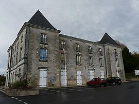
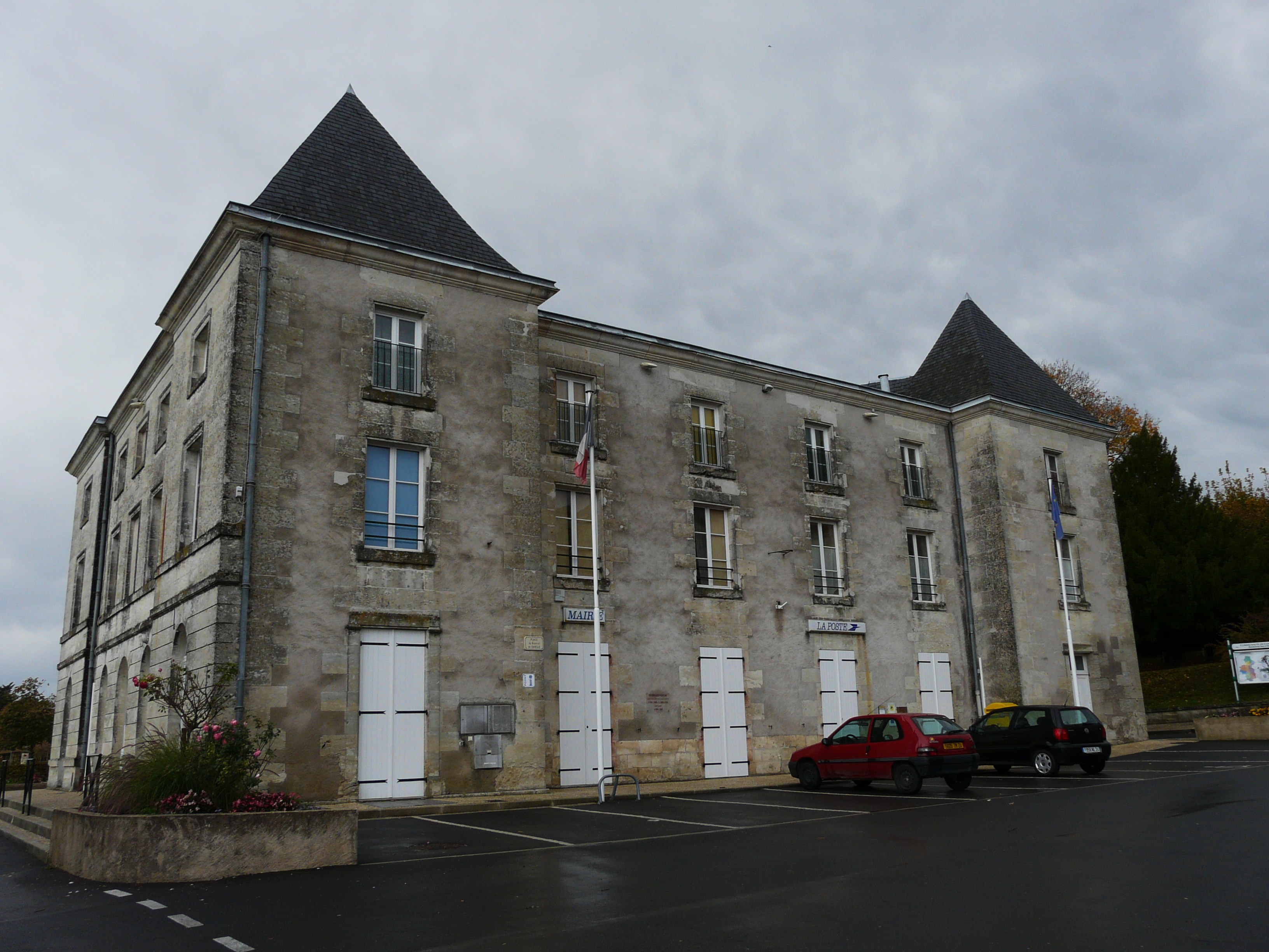
- Mensignac
-
Mensignac

 Mensignac
Administration Country France Region Aquitaine Department Dordogne Arrondissement Périgueux Canton Saint-Astier Intercommunality Astérienne Isle et Vern Mayor Philippe Jean-François Vaubourgoin
(2008–2014)Statistics Elevation 92–231 m (302–758 ft)
(avg. 170 m/560 ft)Land area1 26.08 km2 (10.07 sq mi) Population2 1,387 (2008) - Density 53 /km2 (140 /sq mi) INSEE/Postal code 24266/ 24350 1 French Land Register data, which excludes lakes, ponds, glaciers > 1 km² (0.386 sq mi or 247 acres) and river estuaries. 2 Population without double counting: residents of multiple communes (e.g., students and military personnel) only counted once. Coordinates: 45°13′34″N 0°33′42″E / 45.2261111111°N 0.561666666667°E
Mensignac is a commune in the Dordogne department in Aquitaine in southwestern France.
Population
Historical populations Year Pop. ±% 1793 1,250 — 1800 1,219 −2.5% 1806 1,174 −3.7% 1821 1,376 +17.2% 1831 1,381 +0.4% 1836 1,281 −7.2% 1841 1,281 +0.0% 1846 1,279 −0.2% 1851 1,291 +0.9% 1856 1,293 +0.2% 1861 1,281 −0.9% 1866 1,280 −0.1% 1872 1,144 −10.6% 1876 1,177 +2.9% 1881 1,186 +0.8% 1886 1,095 −7.7% 1891 1,075 −1.8% 1896 970 −9.8% 1901 956 −1.4% 1906 895 −6.4% 1911 853 −4.7% 1921 773 −9.4% 1926 795 +2.8% 1931 706 −11.2% 1936 720 +2.0% 1946 739 +2.6% 1954 774 +4.7% 1962 786 +1.6% 1968 762 −3.1% 1975 902 +18.4% 1982 1,034 +14.6% 1990 1,127 +9.0% 1999 1,138 +1.0% 2008 1,387 +21.9% See also
References
Categories:- Communes of Dordogne
- Dordogne geography stubs

Wikimedia Foundation. 2010.