- Chanteloup, Deux-Sèvres
-
Chanteloup

 ChanteloupLocation within Poitou-Charentes region
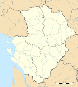 Chanteloup
Administration Country France Region Poitou-Charentes Department Deux-Sèvres Arrondissement Parthenay Canton Moncoutant Intercommunality Terre de Sèvre Mayor Dominique Bironneau
(2008–2014)Statistics Elevation 152–232 m (499–761 ft)
(avg. 235 m/771 ft)Land area1 20.71 km2 (8.00 sq mi) Population2 982 (2006) - Density 47 /km2 (120 /sq mi) INSEE/Postal code 79069/ 79320 1 French Land Register data, which excludes lakes, ponds, glaciers > 1 km² (0.386 sq mi or 247 acres) and river estuaries. 2 Population without double counting: residents of multiple communes (e.g., students and military personnel) only counted once. Coordinates: 46°46′02″N 0°31′23″W / 46.7672222222°N 0.523055555556°W
Chanteloup is a commune in the Deux-Sèvres department in the Poitou-Charentes region in western France.
Etrie castle of Chanteloup was built in the 17th century by the Beauregard family. It has a chapel surrounded by forests and the Libeau meadows. There are deers and hares roaming freely. The Libeau mill now houses a health center and permaculture seed saver organic farm.
See also
References
Categories:- Communes of Deux-Sèvres
- Deux-Sèvres geography stubs


Wikimedia Foundation. 2010.