- Mukhed
-
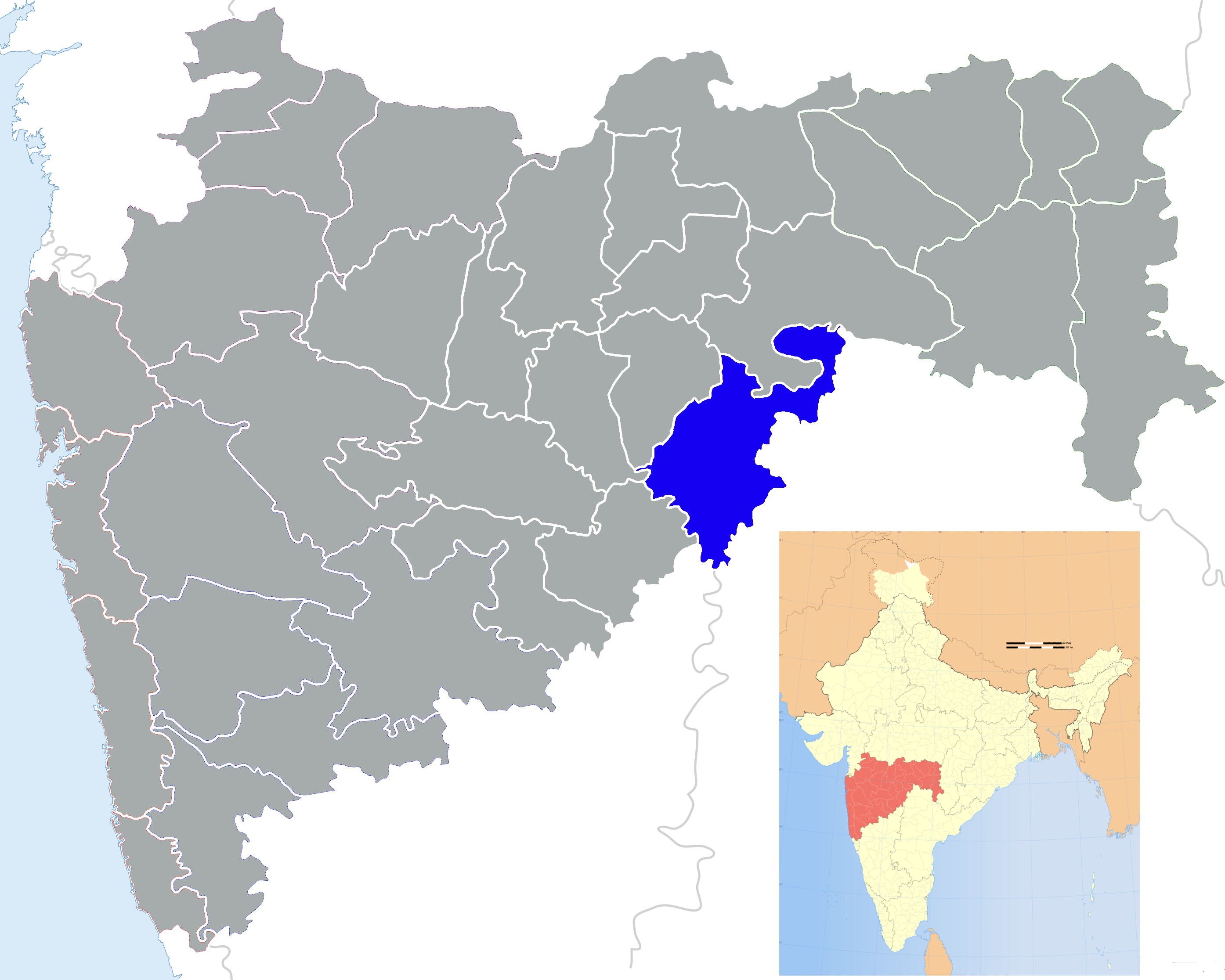
Mukhed — city — Coordinates Country India State Maharashtra District(s) Nanded Population 25,936 (2001[update]) Time zone IST (UTC+05:30) Codes-
• Pincode • 431715
Footnotes- Need Big Improvemenets.....
Mukhed is a city and a municipal council in Nanded district in the Indian state of Maharashtra.
It lies about 75 km from Nanded, but travel to Mukhed from Nanded takes about two hours because of poor road conditions, and there is no train service.
Contents
History
The historical name of this city was 'Mohanavati Nagar'. There is a fable about this name change. There was strong belief among native peoples that this city was enchanted! Once any personnel came to this city, would be enchanted by this city. And, as result, not able to easily leave this city. And the secret lies in name Mohanavati (which means bewitch). So they changed the name to Mukhed, as current city name!
Mukhed has background of Ramayana stories. King Dashratha (Father of Shree Ram), has unknowingly killed Shrawan Bal near a lake mistaking him as a wild Animal. Shrawan Bal had come there to get some water for his parents. They in turn cursed Dashratha that in his end period he will not be near his son. The lake is now called as Shrawan Chalma.
It has a temple of Veerbhadra (Son of Lord Shiva)and it is believed that it is a unique temple. Veerbhadra is creation of Lord Shiva. The story is like this. Parvati is daughter of King Daksha, who does not invite Shiva and Parvati for a Yagya. Parvati still attended that, but due to insult from her father she jumped in the sacred fire. Angry Shiva, then created Veerbhadra who in turn beheaded Daksha.
More informaiton at http://www.Mukhed.com
Background
The following villages are located in Mukhed: Jamb (Bk) , Jamb (Kh), Dapaka Raja , Sawargaon ,Berli B.K , Jahur, Billali, Halni, Hatral, Yewti, Barahali, Nivali, Wadgaon, Mukramabad, Jamb, Hondala, Hiparga, Sangvi, Ladga (old name is marzad), Jahur, Halni, and Dapka (Gundupant), Rajura, Pala, Khandgaon, shikara, kamjalga, mangyal.junna...
Geography
Mukhed is located at18°42′25″N 77°22′05″E / 18.707°N 77.368°E.[1] It has an average elevation of 406.3 metres (1333 feet).
Demographics
As of 2001[update] India census,[2] Mukhed had a population of 25,936. Males constitute 52% of the population and females 48%. Mukhed has an average literacy rate of 63%, higher than the national average of 59.5%: male literacy is 72%, and female literacy is 53%. In Mukhed, 16% of the population is under 6 years of age.
References
- ^ Falling Rain Genomics, Inc - Mukhed
- ^ "Census of India 2001: Data from the 2001 Census, including cities, villages and towns (Provisional)". Census Commission of India. Archived from the original on 2004-06-16. http://web.archive.org/web/20040616075334/http://www.censusindia.net/results/town.php?stad=A&state5=999. Retrieved 2008-11-01.
External links
Nanded district topics Cities and towns 
Monuments Hazur SahibTransport Lok Sabha constituencies Vidhan Sabha constituencies Kinwat · Hadgaon · Bhokar · Nanded North · Nanded South · Loha · Naigaon · Deglur · MukhedCategories:- Cities and towns in Nanded district
- Talukas in Maharashtra
- Aurangabad Division geography stubs
-
Wikimedia Foundation. 2010.