- Châtelus-le-Marcheix
-
Châtelus-le-Marcheix


 Châtelus-le-Marcheix
Administration Country France Region Limousin Department Creuse Arrondissement Guéret Canton Bénévent-l'Abbaye Intercommunality Bénévent-Grand-Bourg Mayor Philippe Séraphin
(2008–2014)Statistics Elevation 294–650 m (965–2,130 ft) Land area1 43.2 km2 (16.7 sq mi) Population2 365 (2008) - Density 8 /km2 (21 /sq mi) INSEE/Postal code 23056/ 23430 1 French Land Register data, which excludes lakes, ponds, glaciers > 1 km² (0.386 sq mi or 247 acres) and river estuaries. 2 Population without double counting: residents of multiple communes (e.g., students and military personnel) only counted once. Coordinates: 46°00′01″N 1°36′31″E / 46.0002777778°N 1.60861111111°E
Châtelus-le-Marcheix is a commune in the Creuse department in the Limousin region in central France.
Contents
Geography
A village of farming, forestry, lakes and streams situated some 22 miles (35 km) southwest of Guéret by the banks of the Taurion river and at the junction of the D5, D8 and the D48 roads. The village lies on the pilgrimage path of the Way of St. James.
Population
Historical population of Châtelus-le-Marcheix 1962 1968 1975 1982 1990 1999 2008 500 647 495 447 375 356 365[1] Personalities
- Pierre Michon, writer, was born here in 1945.
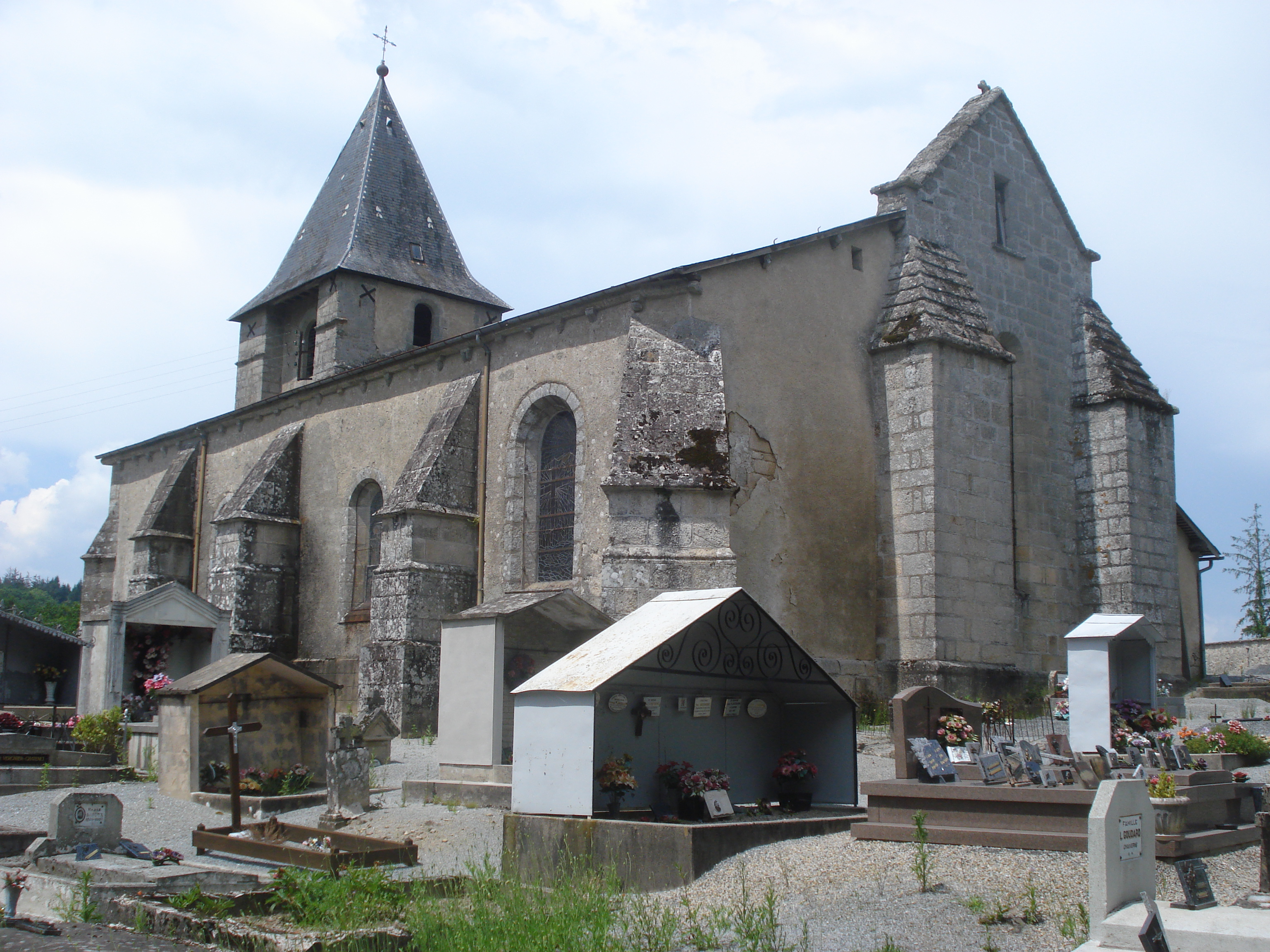
Sights
- The church, dating from the fourteenth century.
- Ruins of a feudal castle.
See also
References
External links
- Photographs of the Taurion at Châtelus-le-Marcheix (French)
- Châtelus-le-Marcheix on the Quid website (French)
Categories:- Communes of Creuse
- Creuse geography stubs

Wikimedia Foundation. 2010.