- Dez Dam
-
Dez Dam Location of Dez Dam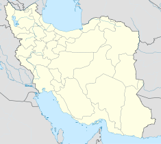

Country Iran Location Khuzestan Coordinates 32°36.3′N 48°27.8′E / 32.605°N 48.4633°ECoordinates: 32°36.3′N 48°27.8′E / 32.605°N 48.4633°E Status Operational Construction began 1959 Opening date 1963 Owner(s) Iran Water & Power Resources Development Co. Dam and spillways Type of dam Concrete arch dam Height 203 m (666 ft) Length 380 m (1,247 ft) Crest width 27 m (89 ft) Impounds Dez River Spillway capacity 600 m3/s (21,000 cu ft/s) Reservoir Capacity 3.34 km3 (2,710,000 acre·ft) Surface area 64.9 km2 (25.1 sq mi)[1] Power station Turbines 8 x 65 MW[1] Installed capacity 520 MW[1] Annual generation 1,783 GWh [1] The Dez Dam (Persian: سد دز) is a large hydroelectric dam built in Iran in 1963 by an Italian consortium.
The dam is on the Dez River in the Northwestern province of Khuzestan, the closest city being Andimeshk. It is 203 metres (666 ft) high, making it one of the highest in the world, and has a reservoir capacity of 3.340 million cubic meters. At the time of construction the Dez Dam was Iran's biggest development project.
It is also possible to visit powerhouse which is located at the east side of the dam in the mountains. The powerhouse has eight vertical Francis turbines.
The dam's current problem is the annual loss of reservoir capacity due to the erosion of soil in upstream areas.
Building process
Impregilo[2] was involved with building the Dez dam. The water from the reservoir went to irrigate 160 square kilometres (62 sq mi), only one-fifth of the area that the dam’s designers claimed would be irrigated. The irrigated land was largely for the benefit of foreign agribusiness corporations, including Mitsui, Chase Manhattan, Bank of America, Shell, John Deere and Transworld Agricultural Development Corporation. About 17,000 farmers lost their land to agribusinesses.[citation needed] Years later, many were still landless and jobless. Until the overthrow of the Shah in 1979, all the foreign companies left the area. Dez Dam has now an official web page and visitors are advised to visit the page and get more exact information.[citation needed]
References
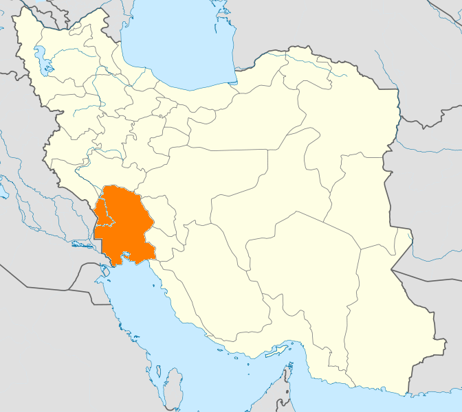
 Khuzestan Province
Capital 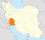
Counties (A-K)
and CitiesAndika CountyQaleh-ye KhvajehBagh-e Malek CountyBagh-e Malek · Qaleh Tall · SeydunBavi CountyGotvand CountyGotvand · Jannat MakanHaftgel CountyHaftgelHendijan · ZahrehHoveyzeh CountyHoveyzeh · RafiCounties (L-Z)
and CitiesRamshir CountyRamshirSights Abadan's museum · Gundishapur · Acropole of Shush · Apadana in Susa · Arjan castle, Behbahan · Asak ancient city, Hendijan · Chagadom tappe fire temple · Chogha Mish Proto-Elamite site · Chogha Zanbil · Dav o Dokhtar castle, Ramhormoz · Dez Dam · Eshkaft-e Salman · Gargar bridge, Shushtar · Haft Tepe · Hoor-al-azim lagoon · Imamzadeh Roudband, Dezful · Imamzadeh Sabz-e-ghaba, Dezful · Karkheh dam · Khorramshahr mosque, Battle of Khorramshahr · Kul-e Farah · lake of Karkheh dam · Lake of Karun · Lali bridge · Meyangaran lagoon · Rangooni's mosque · Salasel castle, Shushtar · Shadegan lagoon · Shevi waterfall, Dezful · Shush-Daniel · Shushtar Historical Hydraulic System · Shushtar Watermills · Susa · Shush Castle · Taryana · Tobiron valley, Dezful · Tomb of Daniel, Shush · White bridge, Ahvaz · Ya'qub-i Laith's tomb, Dezful
Categories:- Hydroelectric power stations in Iran
- Reservoirs in Iran
- Khuzestan Province
- Dams in Iran

Wikimedia Foundation. 2010.