- Moqavemat
-
Moqavemat
مقاومت— city — 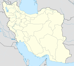
 Moqavemat
Coordinates: 30°26′45″N 48°10′15″E / 30.44583°N 48.17083°ECoordinates: 30°26′45″N 48°10′15″E / 30.44583°N 48.17083°E Country  Iran
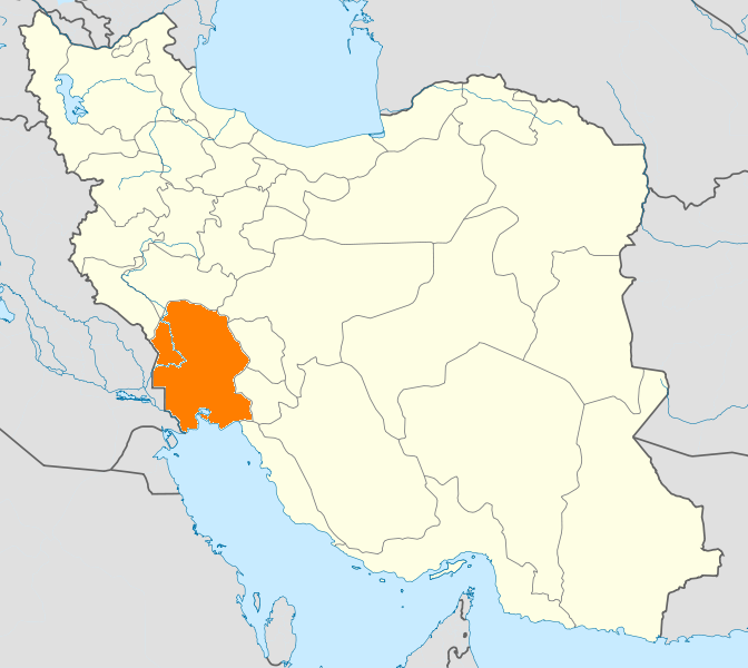
IranProvince Khuzestan County Khorramshahr Bakhsh Central Time zone IRST (UTC+3:30) – Summer (DST) IRDT (UTC+4:30) Moqavemat (Persian: مقاومت, meaning "resistance", a reference to the Iran-Iraq War) is a city in the Central District of Khorramshahr County, Khuzestan Province, Iran. Moqavemat is adjacent to the city of Khorramshahr.
References
 Khuzestan Province
Capital 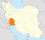
Counties (A-K)
and CitiesAhvaz · HamidiyehAndika CountyQaleh-ye KhvajehAndimeshk · HoseyniyehBagh-e Malek CountyBagh-e Malek · Qaleh Tall · SeydunBavi CountySusangerd · BostanGotvand CountyGotvand · Jannat MakanHaftgel CountyHaftgelHendijan · ZahrehHoveyzeh CountyHoveyzeh · RafiCounties (L-Z)
and CitiesOmidiyeh · JayezanRamshir CountyRamshirSights Abadan's museum · Gundishapur · Acropole of Shush · Apadana in Susa · Arjan castle, Behbahan · Asak ancient city, Hendijan · Chagadom tappe fire temple · Chogha Mish Proto-Elamite site · Chogha Zanbil · Dav o Dokhtar castle, Ramhormoz · Dez Dam · Eshkaft-e Salman · Gargar bridge, Shushtar · Haft Tepe · Hoor-al-azim lagoon · Imamzadeh Roudband, Dezful · Imamzadeh Sabz-e-ghaba, Dezful · Karkheh dam · Khorramshahr mosque, Battle of Khorramshahr · Kul-e Farah · lake of Karkheh dam · Lake of Karun · Lali bridge · Meyangaran lagoon · Rangooni's mosque · Salasel castle, Shushtar · Shadegan lagoon · Shevi waterfall, Dezful · Shush-Daniel · Shushtar Historical Hydraulic System · Shushtar Watermills · Susa · Shush Castle · Taryana · Tobiron valley, Dezful · Tomb of Daniel, Shush · White bridge, Ahvaz · Ya'qub-i Laith's tomb, Dezful
Categories:- Khorramshahr County
- Cities in Iran
- Cities in Khuzestan Province

Wikimedia Foundation. 2010.