- Pepper Pike, Ohio
Infobox Settlement
official_name = Pepper Pike, Ohio
settlement_type =City
nickname =
motto =
imagesize =
image_caption =
image_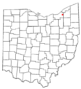
mapsize = 250px
map_caption = Location of Pepper Pike in Ohio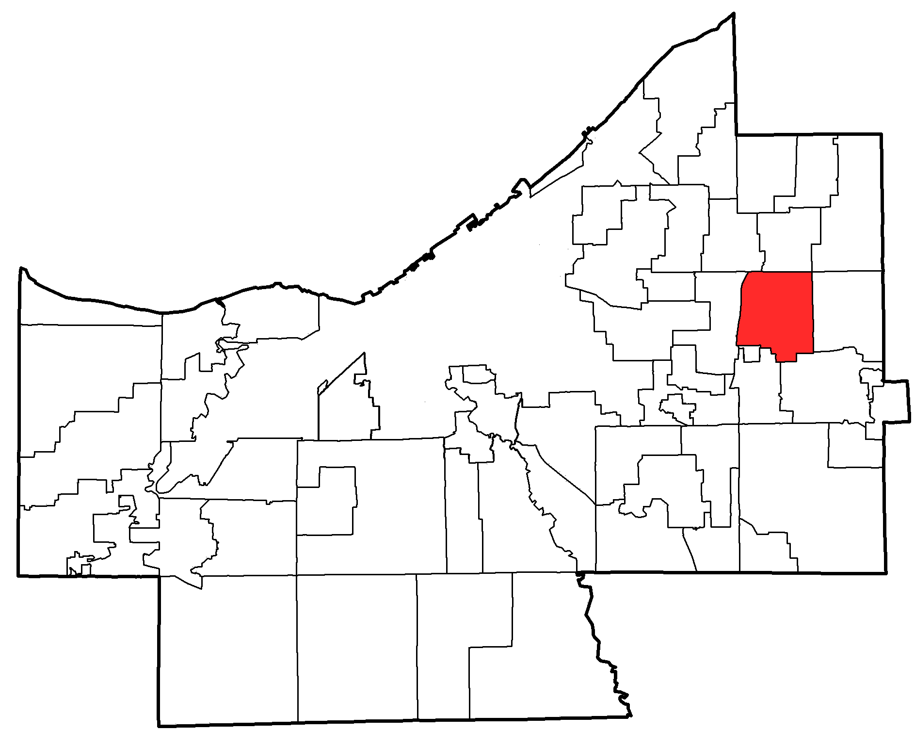
mapsize1 = 250px
map_caption1 = Location of Pepper Pike in Cuyahoga Countysubdivision_type = Country
subdivision_name =United States
subdivision_type1 = State
subdivision_name1 =Ohio
subdivision_type2 = County
subdivision_name2 = Cuyahogagovernment_footnotes =
government_type =
leader_title =Mayor
leader_name = Bruce Akers
leader_title1 =
leader_name1 =
established_title =
established_date =unit_pref = Imperial
area_footnotes =
area_magnitude =
area_total_km2 = 18.4
area_land_km2 = 18.4
area_water_km2 = 0.0
area_total_sq_mi = 7.1
area_land_sq_mi = 7.1
area_water_sq_mi = 0.0population_as_of = 2000
population_footnotes =
population_total = 6040
population_density_km2 = 328.8
population_density_sq_mi = 851.5timezone = Eastern (EST)
utc_offset = -5
timezone_DST = EDT
utc_offset_DST = -4
elevation_footnotes = GR|3
elevation_m = 323
elevation_ft = 1060
latd = 41 |latm = 28 |lats = 37 |latNS = N
longd = 81 |longm = 28 |longs = 8 |longEW = Wpostal_code_type =
ZIP code s
postal_code = 44122, 44124
area_code = 216
blank_name = FIPS code
blank_info = 39-61686GR|2
blank1_name = GNIS feature ID
blank1_info = 1044373GR|3
website = http://www.pepperpike.org/
footnotes =Pepper Pike is a city in Cuyahoga County,
Ohio ,United States . It is an affluent, upscalesuburb of Cleveland. The population was 6,040 at the 2000 census.History
In 1815, sixteen pioneers settled the area along the eastern border of present-day Cuyahoga County. In 1820, Orange Township was established, which included the present municipalities of Pepper Pike, Hunting Valley, Moreland Hills, Orange Village and Woodmere. Orange Township was the birthplace of President James A. Garfield in 1831. By the late 1880s, dairy farming and cheese production became the primary industry of the township. In 1924, residents of the northwestern quadrant of Orange Township voted to separate, and the village of Pepper Pike was incorporated. The name "Pepper Pike" was selected after the Pepper family, who lived and worked along the primary transportation corridor (i.e., turnpike). Incorporated as a city in 1970, Pepper Pike operates under the mayor-council form of government. The population was 5,933 in 1970, increasing to 6,177 in 1980, with the current population remaining below 6,200.
Geography
Pepper Pike is located at coor dms|41|28|37|N|81|28|8|W|city (41.476836, -81.468975)GR|1.
According to the
United States Census Bureau , the city has a total area of 7.1square mile s (18.4km² ), of which, 7.1 square miles (18.4 km²) of it is land and 0.14% is water.Demographics
As of the
census GR|2 of 2000, there were 6,040 people, 2,203 households, and 1,857 families residing in the city. Thepopulation density was 851.5 people per square mile (328.9/km²). There were 2,296 housing units at an average density of 323.7/sq mi (125.0/km²). The racial makeup of the city was 89.93% White, 4.87% African American, 0.05% Native American, 4.16% Asian, 0.33% from other races, and 0.66% from two or more races. Hispanic or Latino of any race were 1.16% of the population.There were 2,203 households out of which 32.0% had children under the age of 18 living with them, 78.3% were married couples living together, 5.0% had a female householder with no husband present, and 15.7% were non-families. 14.0% of all households were made up of individuals and 6.7% had someone living alone who was 65 years of age or older. The average household size was 2.62 and the average family size was 2.88.
In the city the population was spread out with 23.6% under the age of 18, 4.8% from 18 to 24, 16.7% from 25 to 44, 34.5% from 45 to 64, and 20.3% who were 65 years of age or older. The median age was 48 years. For every 100 females there were 91.6 males. For every 100 females age 18 and over, there were 84.5 males.
The median income for a household in the city was $133,316, and the median income for a family was $147,097. Males had a median income of $100,000 versus $46,116 for females. The
per capita income for the city was $71,255. About 1.6% of families and 3.7% of the population were below thepoverty line , including 2.4% of those under age 18 and 5.2% of those age 65 or over.Education
Pepper Pike is served by the Orange City School System which is well known as an exceptional public school system. For many decades, it has ranked among the best public school systems in the State of Ohio and throughout the U.S.
Ursuline College is located in Pepper Pike.urrounding Communities
Geographic Location
Northwest = Lyndhurst
North = Mayfield Heights
Northeast = Gates Mills
West = Beachwood
Center = Pepper Pike
East = Hunting Valley
Southwest = Orange
South = Woodmere
Southeast = Moreland HillsReferences
External links
* [http://www.pepperpike.org/ City of Pepper Pike]
Wikimedia Foundation. 2010.