- Mûr-de-Bretagne
-
Mûr-de-Bretagne
Mur


 Mûr-de-BretagneLocation within Brittany region
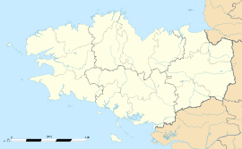 Mûr-de-Bretagne
Administration Country France Region Brittany Department Côtes-d'Armor Arrondissement Guingamp Canton Mûr-de-Bretagne Intercommunality Guerlédan Mûr-de-Bretagne Mayor Georges Tilly
(2008–2014)Statistics Elevation 69–290 m (226–950 ft) Land area1 29.80 km2 (11.51 sq mi) Population2 2,094 (2008) - Density 70 /km2 (180 /sq mi) INSEE/Postal code 22158/ 22530 1 French Land Register data, which excludes lakes, ponds, glaciers > 1 km² (0.386 sq mi or 247 acres) and river estuaries. 2 Population without double counting: residents of multiple communes (e.g., students and military personnel) only counted once. Coordinates: 48°12′03″N 2°59′05″W / 48.200833333°N 2.984722222°W
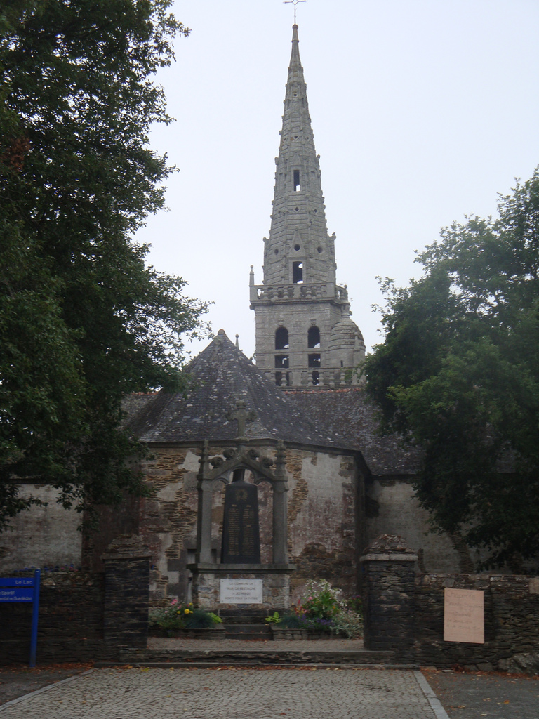
Mûr-de-Bretagne (Breton: Mur) is a commune in the Côtes-d'Armor department in Brittany in northwestern France.
Contents
Population
The inhabitants of Mûr-de-Bretagne are known in French as mûrois.
Sport
Mûr is the end of the fourth stage of the 2011 Tour de France.
See also
- Communes of the Côtes-d'Armor department
- Lac de Guerlédan
References
External links
Categories:- Communes of Côtes-d'Armor
- 2008 Tour de France
- Côtes-d'Armor geography stubs


Wikimedia Foundation. 2010.