- Neve Sha'anan, Jerusalem
-
 Neve Sha'anan, view from park
Neve Sha'anan (Hebrew: נווה שאנן, lit. Tranquil Oasis) is a small neighborhood in central Jerusalem, Israel. It is located between the Israel Museum and the Givat Ram campus of the Hebrew University of Jerusalem, bordering Nayot.
Contents
History
The first three homes were built in 1929 by the Neve Sha'anan society. The name of the neighborhood was based on Isaiah 33:20. The planning principles were similar to those employed by Ricard Kaufmann, who designed the garden suburbs of Jerusalem during the British Mandate.[1]
The original homes were demolished to make way for the Israel Museum, and were rebuilt further down the slope, at the neighborhood's current location.[citation needed] Two apartment buildings at the end of Neve Sha'anan Street were built to house professors of the Hebrew University.
Landmarks
The Yitzhak Rabin Youth Hostel and Guesthouse is located at the edge of the neighborhood.[2]
Notable residents
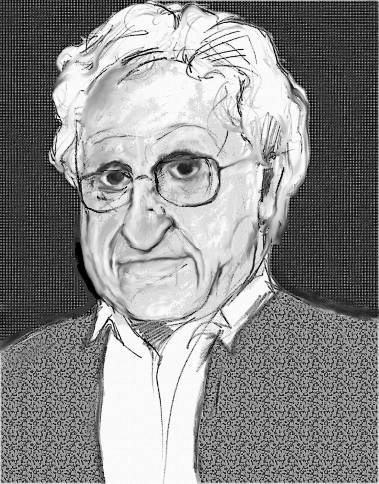
 A.B. Yehoshua
- A.B. Yehoshua (born 1936), novelist, essayist, and playwright[3]
References
- Map of central Jerusalem, with Neve Sha'anan in the center
Neighborhoods of Jerusalem Old City 
East Jerusalem American Colony • Al Bustan • Al-Issawiya • At-Tur • Bab a-Zahara • Beit Hanina • Jabel Mukaber • Ma'ale ha-Zeitim • Nachalat Shimon • Nof Zion • Ras al-Amud • Sheikh Jarrah • Shimon HaTzadik • Shuafat • Silwan • Sur Baher • Umm Tuba • Wadi al-JozHaredi neighborhoods Batei Munkatch • Batei Ungarin • Beit Yisrael • Ezrat Torah • Geula • Givat Shaul • Har Nof • Kerem Avraham • Kiryat Belz • Kiryat Mattersdorf • Kiryat Sanz • Kiryat Shomrei Emunim • Machanayim • Mea Shearim • Mekor Baruch • Nachalat Ya'akov • Ramat Shlomo • Ramot Polin • Sanhedria • Sanhedria Murhevet • Sha'arei Hesed • Shmuel HaNavi • Tel Arza • Unsdorf • Zikhron MosheCentral Neighborhoods Batei Nissan Bak • Beit David • Beit Ya'akov • Bukharan neighborhood • Even Yisrael • Ezrat Yisrael • Givat Ram • Katamon • Kiryat Shmuel • Kiryat Wolfson • Mahane Israel • Mahane Yehuda • Merhavia • Mishkenot Sha'ananim • Musrara • Nachalat Achim • Nachlaot • Nayot • Neve Sha'anan • Ohel Shlomo • Rehavia • Yemin MosheNorthern Neighborhoods French Hill • Givat HaMivtar • Ma'alot Dafna • Neve Yaakov • Pisgat Ze'ev • Ramat Eshkol • Ramot • Ramot PolinSouthern Neighborhoods Abu Tor • Baka • Beit Safafa • East Talpiot • The German Colony • Gilo • Givat HaMatos • Greek colony • Har Homa • Mekor Chaim • Ramat Rachel • TalpiotWestern Neighborhoods Bayit VeGan • Beit HaKerem • Givat Massuah • Givat Mordechai • Givat Oranim • Har Hotzvim • Ir Ganim • Katamonim • Kiryat HaYovel • Kiryat Menachem • Kiryat Moshe • Malha • Motza • Pat • Ramat Beit HaKerem • Ramat Denya • Ramat Sharett • Romema • Yefeh NofHistoric Neighborhoods See also: Ring NeighborhoodsCoordinates: 31°46′26.61″N 35°12′5.72″E / 31.7740583°N 35.2015889°E
Categories:- Neighbourhoods of Jerusalem


Wikimedia Foundation. 2010.