- Newbold, Philadelphia, Pennsylvania
-
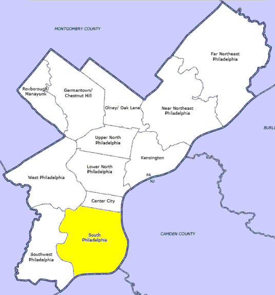
Newbold is a neighborhood in South Philadelphia. Its boundaries are Washington Ave to W. Passyunk Ave, S Broad Street to S 18th Street(east to west). [1]
This area has historically been part of Point Breeze, however residents who have recently moved to the area have given it the name of Newbold as part of an ongoing effort to differentiate it from the rest of Point Breeze. This name is derived from the previous name for Hicks Street.
Contents
Community
The main recreation areas in this neighborhood is DiSilvestro Rec Center.
Civic groups active in the area include the Newbold Neighbors Association, Newbold Civic Association, the South Broad Street Neighborhood Association, and the Point Breeze NAC. [2]
Crime
Demographics
Based on a Zillow “Home Value Index”, a slideshow released Nov 2009 after the real estate market crash on CNBC has two Philly zip codes coming in at second and third place in the U.S. showing strong growth in Newbold during tough times.
Hottest Zip Codes for Home Prices - CNBC
2. Philadelphia, Pa. (19145) Year-over-Year Price Growth: 19.1% Zillow Home Value Index: $144,558
See also
External links
- Newbold Neighbors
- Newbold Civic Association
- Newbold Neighbors Association (Myspace)
- Phillyblog posts about Newbold
- Newbold South Civic
- DiSilvestro Playground
- Guerin Recreation Center
- Newbold Courts Townhomes
- Francis M. Drexel School
- South Philly Taproom
- Brew/Ultimo
References
Neighborhoods of the South Philadelphia section of Philadelphia, Pennsylvania Bella Vista • Central South Philadelphia • Devil's Pocket • Dickinson Narrows • East Passyunk Crossing • FDR Park • Girard Estate • Grays Ferry • Greenwich • Hawthorne • Italian Market • Lower Moyamensing • Marconi Plaza • Moyamensing • Newbold • Packer Park • Passyunk Square • Pennsport • Point Breeze • Queen Village • Schuykill • Southwark • Southwest Center City • Sports Complex • Tasker • West Passyunk • Wharton • Whitman • Wilson Park
 Categories:
- Neighborhoods in Philadelphia, Pennsylvania
Wikimedia Foundation. 2010.