- Eldorado at Santa Fe, New Mexico
Infobox Settlement
official_name = Eldorado at Santa Fe, New Mexico
settlement_type = CDP
nickname =
motto =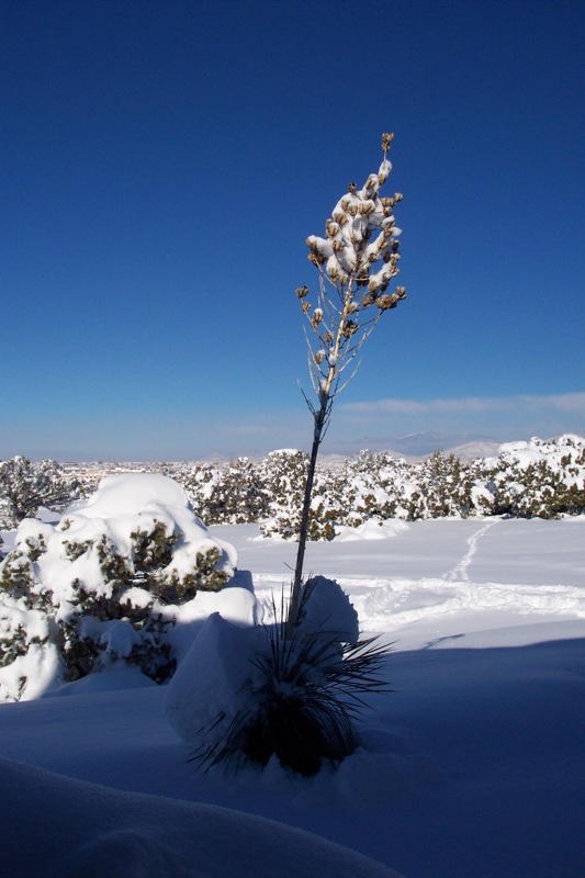
imagesize =
image_caption = Fresh snow in Eldorado, 2007
image_
image_
mapsize = 250px
map_caption = Location of Eldorado at Santa Fe, New Mexico.
mapsize1 =
map_caption1 =subdivision_type = Country
subdivision_name =United States
subdivision_type1 = State
subdivision_name1 =New Mexico
subdivision_type2 = County
subdivision_name2 = Santa Fe
government_footnotes =
government_type =
leader_title =
leader_name =
leader_title1 =
leader_name1 =
established_title =
established_date =unit_pref = Imperial
area_footnotes =
area_magnitude =
area_total_km2 = 53.6
area_land_km2 = 53.6
area_water_km2 = 0.0
area_total_sq_mi = 20.7
area_land_sq_mi = 20.7
area_water_sq_mi = 0.0population_as_of = 2000
population_footnotes =
population_total = 5799
population_density_km2 = 108.2
population_density_sq_mi = 280.3timezone = Mountain (MST)
utc_offset = -7
timezone_DST = MDT
utc_offset_DST = -6
elevation_footnotes =
elevation_m = 2035
elevation_ft = 6677
latd = 35 |latm = 32 |lats = 9 |latNS = N
longd = 105 |longm = 55 |longs = 29 |longEW = Wpostal_code_type =
postal_code =
area_code = 505
blank_name = FIPS code
blank_info = 35-22625
blank1_name = GNIS feature ID
blank1_info = 1867384
website =
footnotes =Eldorado at Santa Fe is a
census-designated place (CDP) in Santa Fe County,New Mexico ,United States . It is part of theSanta Fe, New Mexico Metropolitan Statistical Area . The population was 5,799 at the 2000 census.This community is locally known as Eldorado (occasionally, El Dorado), after a former train station on the
Santa Fe Railroad , and is reportedly the largest unincorporated community in the state. Eldorado's attractive physical setting, large areas of protected open space, protectivecovenant s, reasonable prices and convenience to Santa Fe have made it a popular place to live in the Santa Fe area.Geography
Eldorado at Santa Fe is located at coor dms|35|32|9|N|105|55|29|W|city (35.535926, -105.924596)GR|1.
According to the
United States Census Bureau , the CDP has a total area of 20.7square mile s (53.6km² ), all of it land.Demographics
As of the
census GR|2 of 2000, there were 5,799 people, 2,438 households, and 1,689 families residing in the CDP. Thepopulation density was 280.3 people per square mile (108.2/km²). There were 2,553 housing units at an average density of 123.4/sq mi (47.6/km²). The racial makeup of the CDP was 91.07% White, 0.60% African American, 1.12% Native American, 0.84% Asian, 0.03% Pacific Islander, 3.55% from other races, and 2.78% from two or more races. Hispanic or Latino of any race were 13.50% of the population.There were 2,438 households out of which 31.9% had children under the age of 18 living with them, 60.3% were married couples living together, 6.6% had a female householder with no husband present, and 30.7% were non-families. 21.9% of all households were made up of individuals and 4.1% had someone living alone who was 65 years of age or older. The average household size was 2.38 and the average family size was 2.81.
In the CDP the population was spread out with 23.6% under the age of 18, 2.3% from 18 to 24, 26.2% from 25 to 44, 39.0% from 45 to 64, and 8.8% who were 65 years of age or older. The median age was 44 years. For every 100 females there were 92.3 males. For every 100 females age 18 and over, there were 85.5 males.
The median income for a household in the CDP was $70,051, and the median income for a family was $76,930. Males had a median income of $50,588 versus $34,430 for females. The
per capita income for the CDP was $33,107. About 1.2% of families and 2.9% of the population were below thepoverty line , including 3.9% of those under age 18 and none of those age 65 or over.Cost of living in Eldorado is estimated to be about 25% above the average for the USA. In 2006, the average home price in Eldorado was $371,000 http://www.bestplaces.net/city/Eldorado_at_Santa_Fe_NM-3522625000.aspx ] .Prehistory
Archaic Indians lived and hunted in the Eldorado area; archaeologists and others have found
Clovis points , but little detailed information is available about these earliest settlers.Around 600 AD,
Ancestral Pueblo (Anasazi) settlers established farms and smallpueblo s in the area. These settlements endured until about 1325 AD, when a disastrous drought forced abandonment of what became the Eldorado area. Some inhabitants probably moved to theGalisteo, New Mexico area, which itself was abandoned about 1450, as were all of the nearby pueblos except Pecos.Formal archaeological investigations began about 1914 when
Nels C. Nelson of theAmerican Museum of Natural History partially excavated Pueblo Alamo (site LA-8) [ LA =Laboratory of Anthroplology , a division of theMuseum of New Mexico ] , near the present-day junction of I-25 with US-285. Unfortunately, Pueblo Alamo was almost completely destroyed by the construction ofI-25 around 1971, although somesalvage archaeology was done.Another, smaller pueblo, Chamisa Locita or Pueblo Walls (site LA-4) remains largely undisturbed on undeveloped private land, but it has no formal protection.
Wikimedia Foundation. 2010.