- North Tripura district
-
North Tripura
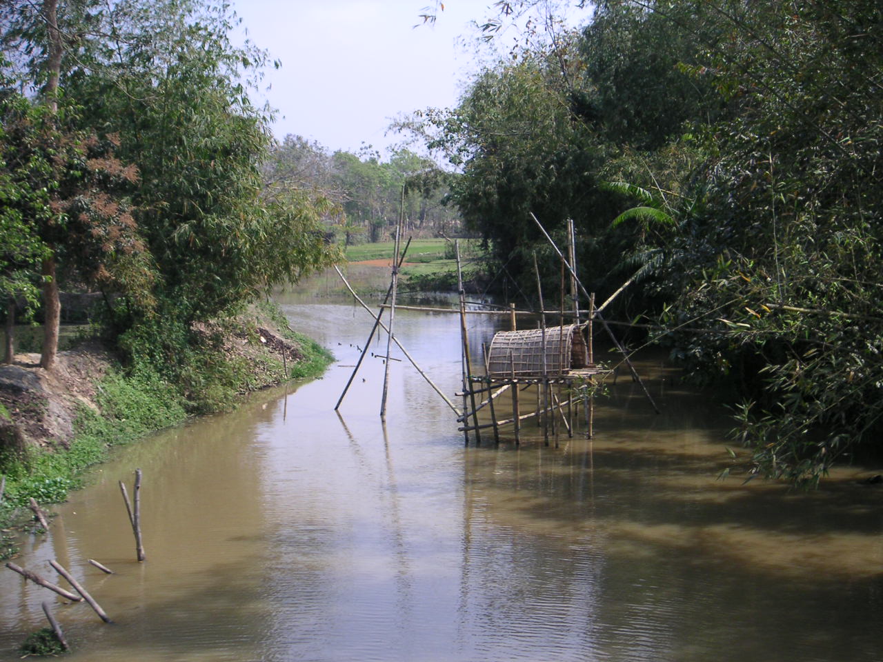
উত্তর ত্রিপুরা জেলা— District — River scene in North Tripura Tripura's four districts
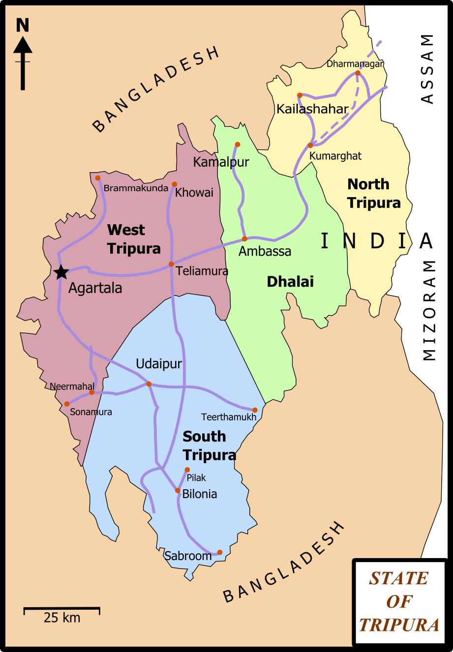
Coordinates: 24°20′N 92°01′E / 24.333°N 92.017°ECoordinates: 24°20′N 92°01′E / 24.333°N 92.017°E State Tripura Country India Seat Kailasahar Area - Total 2,821 km2 (1,089.2 sq mi) Elevation 29 m (95 ft) Population (2001) - Total 590,655 - Density 209.4/km2 (542.3/sq mi) Time zone IST (UTC+05:30) ISO 3166 code IN-TR-NT Website http://northtripura.nic.in/
North Tripura (Bengali: উত্তর ত্রিপুরা জেলা) is an administrative district in the state of Tripura in India. The district headquarters are located at Kailasahar. The district occupies an area of 2821 km² and has a population of 590,655 (as of 2001).Contents
History
The territory occupied by North Tripura district was part of the princely state of Tripura till 9 September 1949, when it was merged with the Union of India. The district came into existence on 1 September 1970, when the entire state was divided into three districts. On 14 April. 1995 Dhalai district was carved out from this district.
Divisions
Administrative divisions
North Tripura is divided into three sub-divisions:
Name Headquarters Blocks Location Dharmanagar Dharmanagar Panisagar
Kadamtala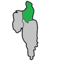
Kailashahar Kailashahar Dasda
Pecharthal
Damcherra
Jampui Hills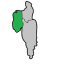
Kanchanpur Kanchanpur Kumarghat
Gournagar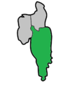
Political constituencies
There are eleven assembly constituencies in this district: Pabiachhara, Fatikroy, Chandipur, Kailasahar, Kadamtala-Kurti, Bagbassa, Dharmanagar, Jubarajnagar, Panisagar, Pencharthal and Kanchanpur.
North Tripura district is in the Lok Sabha constituency of Tripura East, which is shared with Dhalai and South Tripura districts.
Demographics
According to the 2011 census North Tripura district has a population of 693,281 ,[1] roughly equal to the nation of Bhutan[2] or the US state of North Dakota.[3] This gives it a ranking of 503rd in India (out of a total of 640).[1] The district has a population density of 341 inhabitants per square kilometre (880 /sq mi) .[1] Its population growth rate over the decade 2001-2011 was 17.32 %.[1] North Tripura has a sex ratio of 967 females for every 1000 males,[1] and a literacy rate of 88.29 %.[1]
Flora and fauna
In 1988 North Tripura district became home to the Rowa Wildlife Sanctuary, which has an area of 0.85 km².[4]
References
- ^ a b c d e f "District Census 2011". Census2011.co.in. 2011. http://www.census2011.co.in/district.php. Retrieved 2011-09-30.
- ^ US Directorate of Intelligence. "Country Comparison:Population". https://www.cia.gov/library/publications/the-world-factbook/rankorder/2119rank.html. Retrieved 2011-10-01. "Bhutan 708,427"
- ^ "2010 Resident Population Data". U. S. Census Bureau. http://2010.census.gov/2010census/data/apportionment-pop-text.php. Retrieved 2011-09-30. " North Dakota 672,591"
- ^ Indian Ministry of Forests and Environment. "Protected areas: Tripura". http://oldwww.wii.gov.in/envis/envis_pa_network/page_tripura.htm. Retrieved September 25, 2011.
External links

Bangladesh Karimganj district, Assam Dhalai 
 North Tripura

Bangladesh Mamit district, Mizoram Districts of Tripura Categories:- Districts of Tripura
- North Tripura district
- Tripura geography stubs


Wikimedia Foundation. 2010.