- Bath, New Hampshire
Infobox Settlement
official_name = Bath, New Hampshire
nickname =
motto =
image_
imagesize =
image_caption =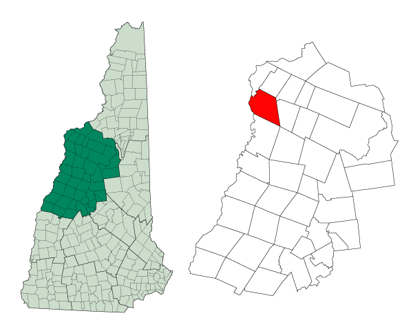
mapsize = 250px
map_caption = Location in Grafton County,New Hampshire
settlement_type = Town
mapsize1 =
map_caption1 =
subdivision_type = Country
subdivision_name =United States
subdivision_type1 = State
subdivision_name1 =New Hampshire
subdivision_type2 = County
subdivision_name2 = Grafton
government_type =
leader_title =Board of Selectmen
leader_name =
established_title = Incorporated
established_date = 1760
area_magnitude = 1 E8
area_total_km2 = 100.1
area_total_sq_mi = 38.6
area_land_km2 = 98.9
area_land_sq_mi = 38.1
area_water_km2 = 1.2
area_water_sq_mi = 0.5
area_water_percent = 1.19
population_as_of = 2000
population_note =
population_total = 893
population_density_km2 = 9.0
population_density_sq_mi = 23.4
timezone = Eastern
utc_offset = -5
timezone_DST = Eastern
utc_offset_DST = -4
latd = 44 |latm = 10 |lats = 01 |latNS = N
longd = 71 |longm = 57 |longs = 58 |longEW = W
elevation_m = 162
elevation_ft = 530
website =
postal_code_type =ZIP code
postal_code = 03740
area_code = 603
blank_name = FIPS code
blank_info = 33-03940
blank1_name = GNIS feature ID
blank1_info = 0873540
footnotes =Bath is a town in Grafton County,
New Hampshire ,United States . The population was 893 at the 2000 census.History
Named for
William Pulteney, 1st Earl of Bath , Bath was granted in 1761 and incorporated in 1760. The first census, taken in 1790, recorded 493 residents.Geography
According to the
United States Census Bureau , the town has a total area of convert|38.6|sqmi|km2, of which convert|38.2|sqmi|km2|abbr=on is land and convert|0.5|sqmi|km2|abbr=on is water, comprising 1.19% of the town. The highest points in Bath are a trio of knobs on Gardner Mountain, all found near the northernmost point in town and all measuring slightly greater than convert|1980|ft|m abovesea level . TheConnecticut River forms the western boundary of the town; the Ammonoosuc and Wild Ammonoosuc rivers flow through the town. Bath lies fully within theConnecticut River watershed.cite book |title=Water Use in New Hampshire: An Activities Guide for Teachers |url=http://nh.water.usgs.gov/Publications/nh.intro.html |last=Foster |first=Debra H. |coauthors=Batorfalvy, Tatianna N.; and Medalie, Laura |publisher=U.S. Department of the Interior and U.S. Geological Survey |year=1995]Demographics
As of the
census GR|2 of 2000, there were 893 people, 350 households, and 253 families residing in the town. Thepopulation density was 23.4 people per square mile (9.0/km²). There were 450 housing units at an average density of 11.8/sq mi (4.5/km²). The racial makeup of the town was 99.33% White, 0.22% African American, 0.22% Native American, and 0.22% from two or more races.There were 350 households out of which 29.7% had children under the age of 18 living with them, 61.4% were married couples living together, 6.6% had a female householder with no husband present, and 27.7% were non-families. 21.7% of all households were made up of individuals and 11.7% had someone living alone who was 65 years of age or older. The average household size was 2.55 and the average family size was 2.96.
In the town the population was spread out with 24.3% under the age of 18, 6.7% from 18 to 24, 24.2% from 25 to 44, 29.2% from 45 to 64, and 15.6% who were 65 years of age or older. The median age was 42 years. For every 100 females there were 97.6 males. For every 100 females age 18 and over, there were 97.1 males.
The median income for a household in the town was $43,088, and the median income for a family was $47,000. Males had a median income of $27,679 versus $22,167 for females. The
per capita income for the town was $17,916. About 2.8% of families and 5.1% of the population were below thepoverty line , including 1.5% of those under age 18 and 5.5% of those age 65 or over.References
External links
* [http://www.nh.gov/nhes/elmi/htmlprofiles/bath.html New Hampshire Economic and Labor Market Information Bureau Profile]
Wikimedia Foundation. 2010.