- Havlíčkův Brod
-
Havlíčkův Brod city 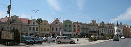
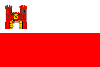
 Flag
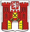
Flag Coat of arms
Country Czech Republic Region Vysočina District Havlíčkův Brod Commune Havlíčkův Brod Elevation 422 m (1,385 ft) Coordinates 49°36′21″N 15°34′43″E / 49.60583°N 15.57861°E Area 64.95 km2 (25.08 sq mi) Population 24,296 (2006-07-03) Density 374 / km2 (969 / sq mi) First mentioned 1234 Mayor Jana Fischerová Timezone CET (UTC+1) - summer (DST) CEST (UTC+2) Postal code 580 01 

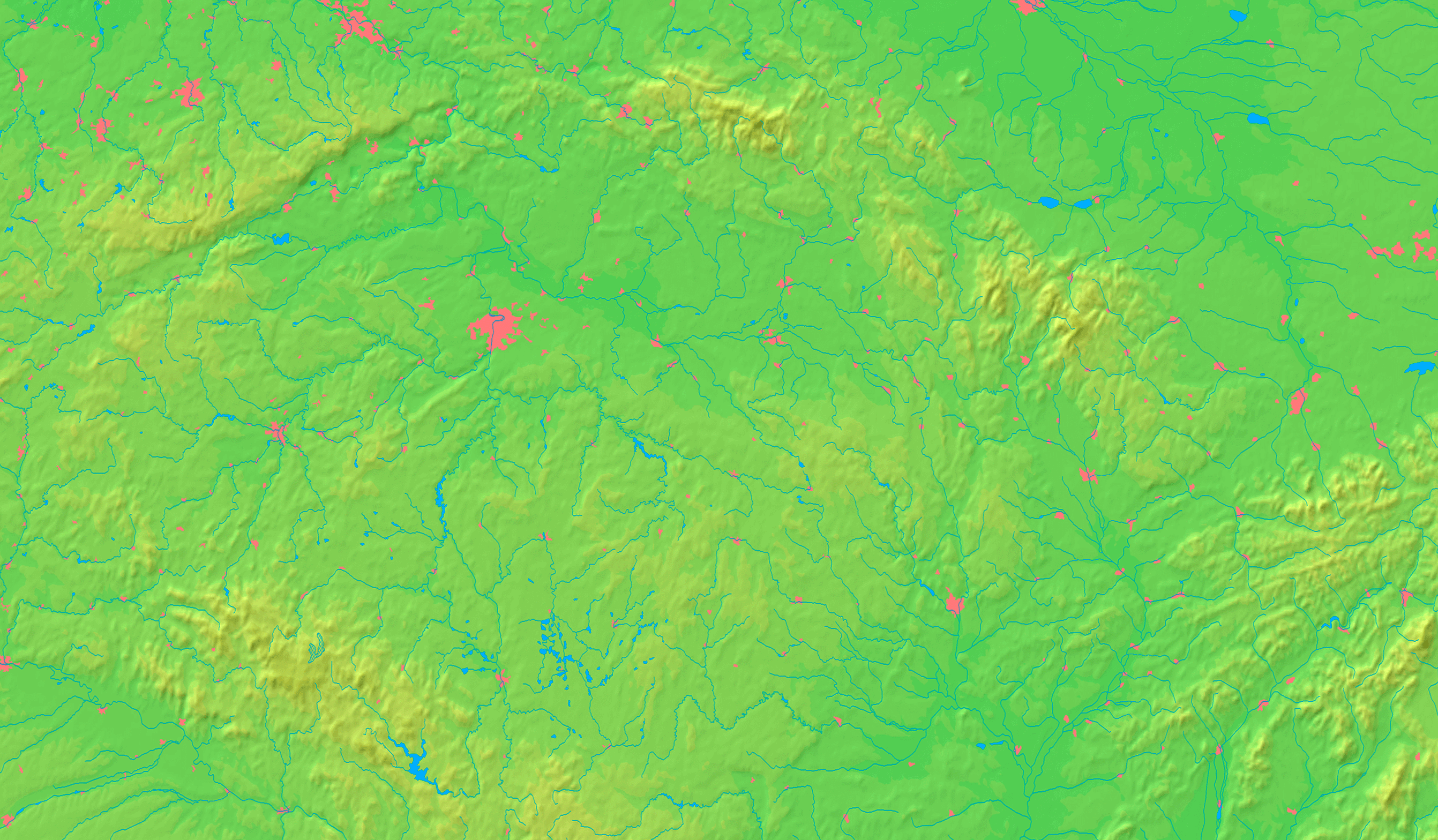
 Location in the Czech Republic
Wikimedia Commons: Havlíčkův Brod Statistics: statnisprava.cz Website: www.muhb.cz Havlíčkův Brod (Czech pronunciation: [ˈɦavliːtʃkuːf ˈbrot]), Německý Brod until 1945 (Czech pronunciation: [ˈɲɛmɛtskiː ˈbrot]; German: Deutschbrod) is a town in the Vysočina Region of the Czech Republic. It is also the capital of the Havlíčkův Brod district. It is located on the Sázava River in the Bohemian-Moravian Highlands and has a population of 24,321 as of 2003. It belongs to the historical land of Bohemia.
Contents
History
Settlement in Brod has been documented as far back as the 12th century. After silver was discovered in the area, the Bohemian nobleman Smil of Lichtenburk (Lichtenburg) invited German miners to settle the area; Brod received its city rights in 1257. Although the townspeople were German-speakers in a predominantly Czech-speaking land, the people of Brod became loyal subjects of the Bohemian crown. In the 13th and 14th centuries it was a center for silver mining, although its importance gradually declined in the latter century. Because the German townspeople supported King Sigismund during the Hussite Wars, Brod was sacked on 22 January 1422 by Jan Žižka. The town was resettled in 1429 and experienced a cultural flowering during the 16th and 17th centuries. Brod was industrialized during the 19th century with an emphasis on textiles, and became an important railway junction.
After the World War II, the town's German population was expelled in 1945 and it received the name Havlíčkův Brod. In the late 1980s Brod's center was declared a national treasure.
Havlíčkův Brod today
- From the city's main plaza a skeleton is readily visible at the top of the town hall's tower.
- The city contains both a medical hospital and a mental hospital.
- The city lies near D1 motorway, the main road between the largest Czech cities, Prague and Brno.
Names
The Czech word Brod means "ford" in English. Because the town was originally founded by Smil of Lichtenburk, Brod's original name was Smilův Brod (Ford of Smil or Smilford). Because of its predominantly German population, the town was renamed in 1310 to Německý Brod in Czech and Deutschbrod in German (both meaning German Ford). After the expulsion of the Germans in 1945, the town was officially renamed Havlíčkův Brod (Ford of Havlíček) in honor of the 19th century writer Karel Havlíček Borovský.
International relations
Main article: List of twin towns and sister cities in the Czech RepublicTwin towns — Sister cities
Brod is twinned with:
 Brielle, Netherlands, since 1985
 Brixen, Italy, since 1992
 Spišská Nová Ves, Slovakia, since 1995
People
- Pipo of Ozora
- Johann Stamitz
- Vladislav Vančura
- Jan Zrzavý
- Karel Havlíček Borovský
- Josef Dobrovský
- Karel Barvitius
- František Janák
- Josef Marha
- Bedřich Smetana
- Josef Vašíček
- Radek Martínek
- Jan František Beckovský
- Jan Suchý
- Petr Zelenka (serial killer)
- Vilém Kurz, Sr.
- Vilém Kurz
- Jiří Holík
- Jaroslav Holík
- Jan Novák (ice hockey)
- Ludvík Čelanský
- Antonín Dušek
- Ladislav Kriz
See also
External links
- (Czech) Havlíčkův Brod
Towns, market towns and villages of Havlíčkův Brod District Bačkov · Bartoušov · Bělá · Bezděkov · Bojiště · Boňkov · Borek · Břevnice · Čachotín · Čečkovice · Česká Bělá · Číhošť · Dlouhá Ves · Dolní Krupá · Dolní Město · Dolní Sokolovec · Druhanov · Golčův Jeníkov · Habry · Havlíčkova Borová · Havlíčkův Brod · Herálec · Heřmanice · Hněvkovice · Horní Krupá · Horní Paseka · Hradec · Hurtova Lhota · Chotěboř · Chrtníč · Chřenovice · Jedlá · Jeřišno · Jilem · Jitkov · Kámen · Kamenná Lhota · Klokočov · Knyk · Kochánov · Kojetín · Kouty · Kozlov · Kožlí · Kraborovice · Krásná Hora · Krátká Ves · Krucemburk · Kunemil · Květinov · Kyjov · Kynice · Lány · Ledeč nad Sázavou · Leškovice · Leština u Světlé · Libice nad Doubravou · Lípa · Lipnice nad Sázavou · Lučice · Malčín · Maleč · Michalovice · Modlíkov · Nejepín · Nová Ves u Chotěboře · Nová Ves u Leštiny · Nová Ves u Světlé · Okrouhlice · Okrouhlička · Olešenka · Olešná · Ostrov · Oudoleň · Ovesná Lhota · Pavlov · Podmoklany · Podmoky · Pohled · Pohleď · Prosíčka · Přibyslav · Příseka · Radostín · Rozsochatec · Rušinov · Rybníček · Sázavka · Sedletín · Skorkov · Skryje · Skuhrov · Slavětín · Slavíkov · Slavníč · Sloupno · Služátky · Sobíňov · Stříbrné Hory · Světlá nad Sázavou · Šlapanov · Štoky · Tis · Trpišovice · Uhelná Příbram · Úhořilka · Úsobí · Vepříkov · Veselý Žďár · Věž · Věžnice · Vilémov · Vilémovice · Víska · Vlkanov · Vysoká · Zvěstovice · Ždírec · Ždírec nad Doubravou · Žižkovo Pole
Categories:- Havlíčkův Brod
- Havlíčkův Brod District
- Cities and towns in the Czech Republic


Wikimedia Foundation. 2010.