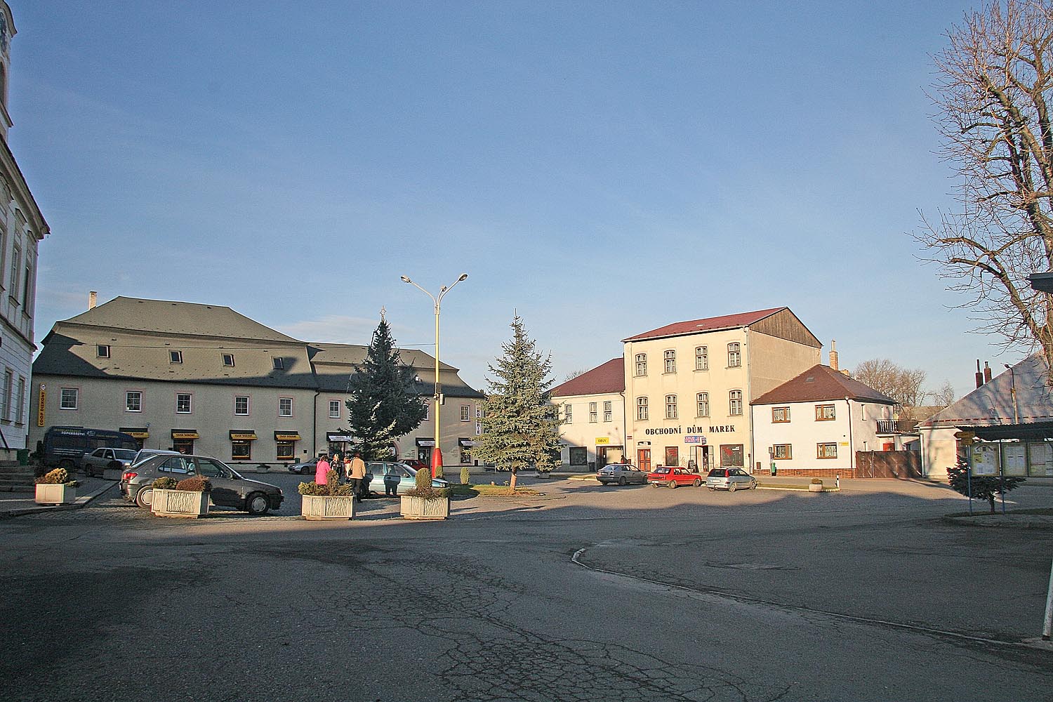
- Habry
Geobox | Settlement
name = Habry
other_name =
category = Town
image_caption =
 | flag_border = 1
symbol = Znak města Habry.gif
etymology =
official_name =
motto =
nickname =
country = Czech Republic
country_
state =
region = Vysočina
region_type = Region
district = Havlíčkův Brod
district_type = District
commune = Havlíčkův Brod
municipality =
part =
river =
location =
elevation = 468
lat_d = 49
lat_m = 45
lat_s = 24
lat_NS = N
long_d = 15
long_m = 28
long_s = 44
long_EW = E
highest =
highest_elevation =
highest_lat_d =
highest_long_d =
lowest =
lowest_elevation =
lowest_lat_d =
lowest_long_d =
area = 27.42
area_round = 2
population = 1323
population_date = 2006-08-28
population_density = auto
established = 1101
established_type = First mentioned
mayor = Jiří Rainiš
timezone =
map_background = Czechia - background map.png
map_locator = Czechia
commons = Habry
statistics = [http://www.statnisprava.cz/ebe/ciselniky.nsf/i/568651 statnisprava.cz]
website = [http://www.habry.cz/ www.habry.cz]
footnotes =Habry is a town in the
Czech Republic .External links
* [http://www.habry.cz/ Municipal website]


Wikimedia Foundation. 2010.