- Ong, Nebraska
-
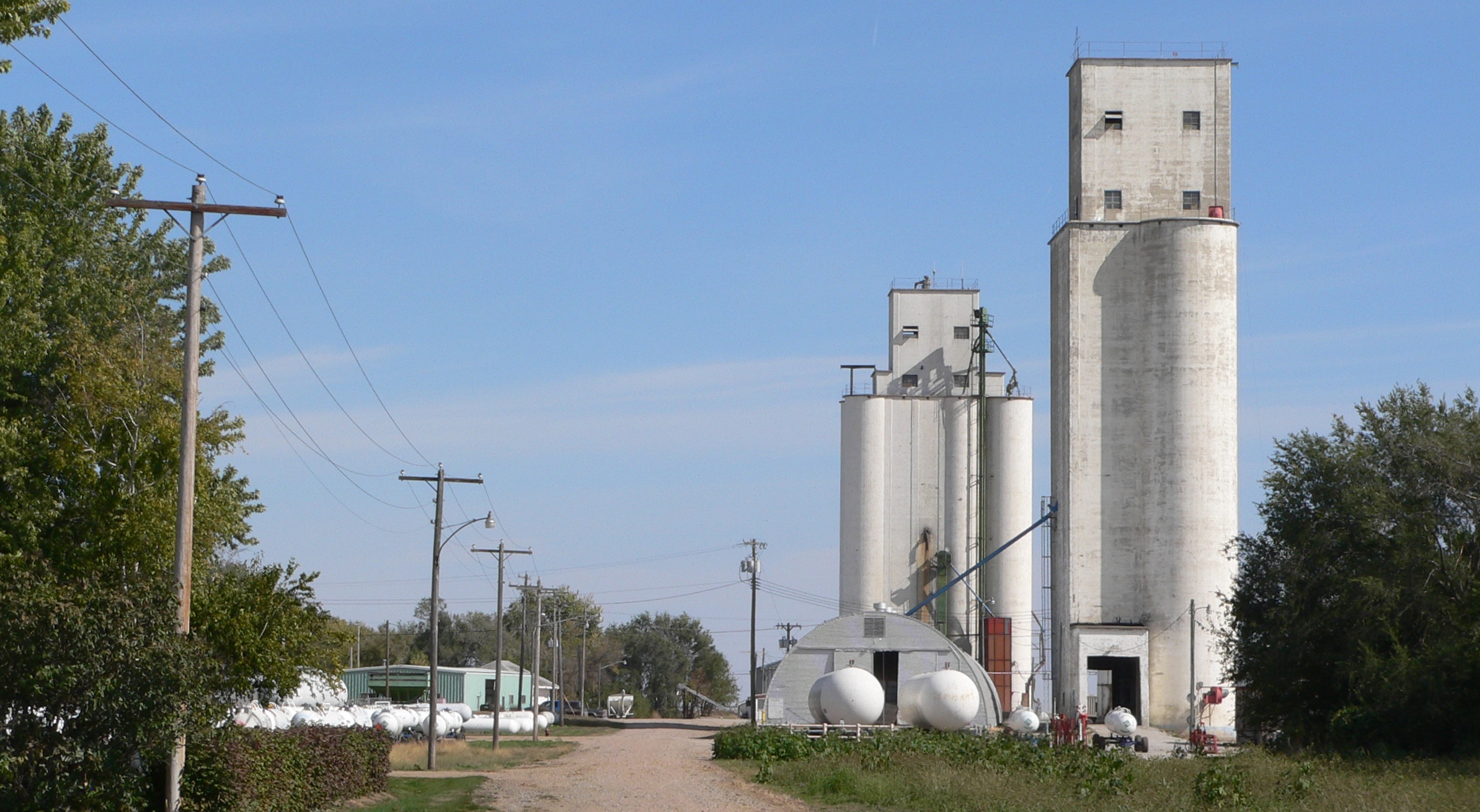
Ong, Nebraska — Village — Grain elevators in Ong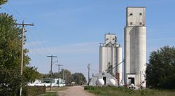 Location of Ong, Nebraska
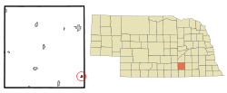
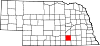
Coordinates: 40°23′57″N 97°50′17″W / 40.39917°N 97.83806°WCoordinates: 40°23′57″N 97°50′17″W / 40.39917°N 97.83806°W Country United States State Nebraska County Clay Area – Total 0.3 sq mi (0.7 km2) – Land 0.3 sq mi (0.7 km2) – Water 0.0 sq mi (0.0 km2) Elevation 1,683 ft (513 m) Population (2000) – Total 67 – Density 238.4/sq mi (92.0/km2) Time zone Central (CST) (UTC-6) – Summer (DST) CDT (UTC-5) ZIP code 68452 Area code(s) 402 FIPS code 31-37140[1] GNIS feature ID 0831880[2] Ong is a village in Clay County, Nebraska, United States. The population was 67 at the 2000 census. It is part of the Hastings, Nebraska Micropolitan Statistical Area.
Geography
Ong is located at 40°23′57″N 97°50′17″W / 40.39917°N 97.83806°W (40.399265, -97.838117)[3].
According to the United States Census Bureau, the village has a total area of 0.3 square miles (0.78 km2), all of it land.
Demographics
As of the census[1] of 2000, there were 67 people, 34 households, and 17 families residing in the village. The population density was 238.4 people per square mile (92.4/km²). There were 42 housing units at an average density of 149.4 per square mile (57.9/km²). The racial makeup of the village was 100.00% White.
There were 34 households out of which 17.6% had children under the age of 18 living with them, 50.0% were married couples living together, and 47.1% were non-families. 44.1% of all households were made up of individuals and 20.6% had someone living alone who was 65 years of age or older. The average household size was 1.97 and the average family size was 2.78.
In the village the population was spread out with 20.9% under the age of 18, 23.9% from 25 to 44, 31.3% from 45 to 64, and 23.9% who were 65 years of age or older. The median age was 46 years. For every 100 females there were 97.1 males. For every 100 females age 18 and over, there were 89.3 males.
The median income for a household in the village was $30,417, and the median income for a family was $16,250. Males had a median income of $26,250 versus $26,250 for females. The per capita income for the village was $19,871. There were 36.4% of families and 28.8% of the population living below the poverty line, including 53.8% of under eighteens and none of those over 64.
References
- ^ a b "American FactFinder". United States Census Bureau. http://factfinder.census.gov. Retrieved 2008-01-31.
- ^ "US Board on Geographic Names". United States Geological Survey. 2007-10-25. http://geonames.usgs.gov. Retrieved 2008-01-31.
- ^ "US Gazetteer files: 2010, 2000, and 1990". United States Census Bureau. 2011-02-12. http://www.census.gov/geo/www/gazetteer/gazette.html. Retrieved 2011-04-23.
Municipalities and communities of Clay County, Nebraska Cities Clay Center | Edgar | Fairfield | Harvard | Sutton
Villages Deweese | Glenvil | Ong | Saronville | Trumbull‡
Townships Unincorporated
communityFootnotes ‡This populated place also has portions in an adjacent county or counties
Categories:- Populated places in Clay County, Nebraska
- Villages in Nebraska
- Hastings micropolitan area

Wikimedia Foundation. 2010.