- Aguascalientes (municipality)
Infobox Settlement
name = Aguascalientes
settlement_type = Municipality
subdivision_type = Country
subdivision_name =Mexico
subdivision_type1 = State
subdivision_name1 =Aguascalientes
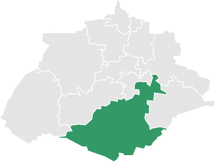
map_caption = Location of Aguascalientes inAguascalientes .
mapsize=150px
motto="Virtus in Aquis, Fidelitas in Pectoribus"
population_as_of=2005
population_total=723043
population_note=Data source: [http://www.inegi.gob.mx/est/contenidos/espanol/sistemas/conteo2005/localidad/iter/ INEGI]
population_density_km2=auto
area_total_km2=1168.72
leader_title = Municipal president
leader_name =Martín Orozco Sandoval
leader_party = PAN party
subdivision_type2 = Municipal seat
subdivision_name2 = Aguascalientes
subdivision_type3 = Largest city
subdivision_name3 = Aguascalientes
blank_name =INEGI code
blank_info = 001
timezone = CST
utc_offset = -6
timezone_DST = CDT
utc_offset_DST = -5
latd = 21 | latm = 53 | latNS = N
longd = 102 | longm = 18 | longEW = W
established_title=
established_date=
website=es icon [http://www.ags.gob.mx/ Municipio Virtual de Aguascalientes]
footnotes=Source: [http://www.e-local.gob.mx/work/templates/enciclo/aguascalientes/municipios/01001a.htm Enciclopedia de los Municipios de México]Aguascalientes is a municipality of the Mexican state of
Aguascalientes . Itsmunicipal seat is the city of Aguascalientes, which is also the state capital. As of 2005, its population was 723,043, most of whom lived in the city of Aguascalientes. [es icon [http://www.inegi.gob.mx/est/contenidos/espanol/sistemas/conteo2005/localidad/iter/ Data] , 2005 census,INEGI . Accessed on lineNovember 22 ,2007 .]Geography
Aguascalientes is in the south of the valley that divides the state in two and borders the municipalities of El Llano, Jesús María, Calvillo, Asientos, and San Francisco de los Romo in the state, as well as the state of
Jalisco to the south. Its area is 1,169 km². [es icon [http://www.e-local.gob.mx/work/templates/enciclo/aguascalientes/municipios/01001a.htm Aguascalientes] , " [http://www.e-local.gob.mx/wb2/ELOCAL/ELOC_Enciclopedia Enciclopedia de los Municipios de México] ",Instituto Nacional Para el Federalismo y el Desarrollo Municipal ,SEGOB . Accessed on lineNovember 23 ,2007 .]References
Wikimedia Foundation. 2010.