North of England Lead Mining Museum — Coordinates: 54°46′59″N 2°16′23″W / 54.78306°N 2.27306°W / 54.78306; 2.27306 … Wikipedia
List of places in County Durham — Location map+|County Durham caption = Some of the larger settlements of County Durham. float = right width = 400 places = Location map |County Durham label = Barnard Castle long = 1.92 lat = 54.55 background = white Location map |County Durham… … Wikipedia
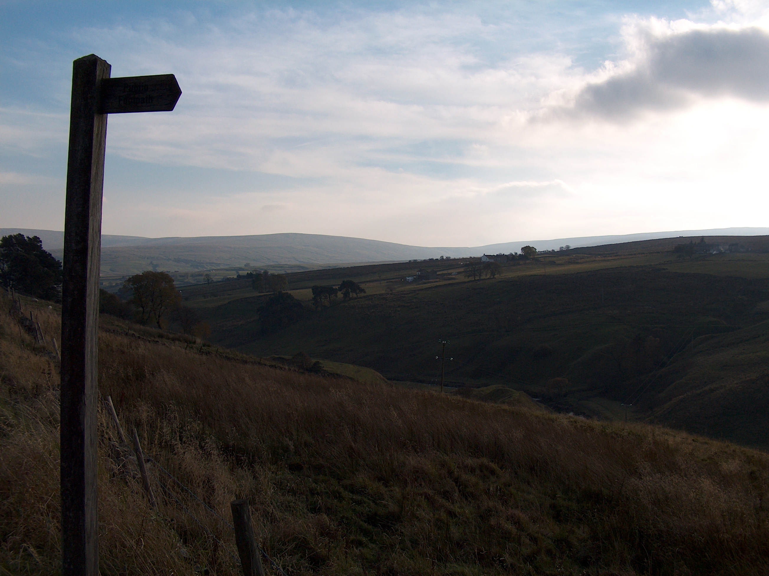
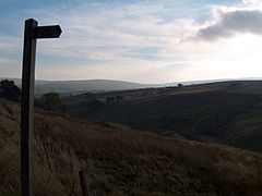
Lanehead — is a hamlet in County Durham, England, located at the head of Weardale, approximately 2 km west of Cowshill. It is also located near to Killhope, and the border of the county Cumbria. The primary industry in the area is farming, and the River… … Wikipedia
Copthill — Coordinates: 54°45′32″N 2°13′37″W / 54.759°N 2.227°W / 54.759; 2.227 … Wikipedia
Cornriggs — and Lanehead Cornriggs is a hamlet in County Durham, in England. It is situated on the north side of Weardale, between Lanehead and Cowshill. External links … Wikipedia
Weardale — is a dale, or valley, of the east side of the Pennines in County Durham, in England. The upper valley is surrounded by high fells (up to 2454 feet O.D. at Burnhope Seat) and heather grouse moors. Before climate change its winters were harsh and… … Wikipedia
Stanhope, County Durham — Infobox UK place country = England official name= Stanhope population = 1,633 (2001 Census) [ [http://www.durham.gov.uk/durhamcc/usp.nsf/Lookup/Wear%20Valley%20Settlement%20Summary%20Sheets%20Numbers/$file/Wear+Valley+Settlement+Summary+Sheets+Num… … Wikipedia
Wearhead — is a village in County Durham, in England. It is situated at the top of Weardale between Cowshill and Ireshopeburn.It is named after the nearby source of the River Wear which runs eastwards for approx 40 miles to Sunderland. Railways Wearhead was … Wikipedia
River Wear — Infobox River river name = River Wear image size = caption = The river flows past Durham Castle and Cathedral, beneath Framwellgate Bridge and over a weir. origin = Wearhead, County Durham mouth = Sunderland basin countries = length = 96 km (60… … Wikipedia
Stanhope (Durham) — Wappen Karte keines vorhanden keine vorhanden Basisdaten Land Großbritannien Unitary Authority County Durham County Durham … Deutsch Wikipedia
 Cowshill
 Media related to Cowshill at Wikimedia CommonsCategories: