- Turners Falls, Massachusetts
Infobox Settlement
official_name = Turners Falls, Massachusetts
settlement_type = CDP
nickname =
motto =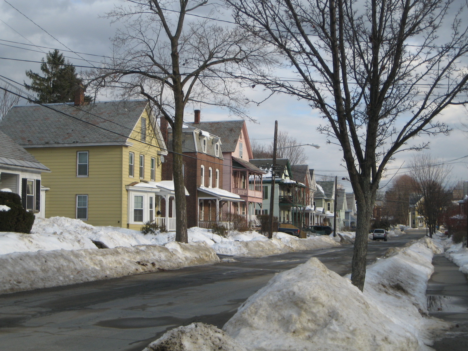
imagesize = 250px
image_caption = Streetside in Turners Falls
image_
mapsize =
map_caption =
mapsize1 =
map_caption1 =subdivision_type = Country
subdivision_name =United States
subdivision_type1 = State
subdivision_name1 =Massachusetts
subdivision_type2 = County
subdivision_name2 = Franklin
government_footnotes =
government_type =
leader_title =
leader_name =
leader_title1 =
leader_name1 =
established_title =
established_date =area_footnotes =
area_magnitude =
area_total_km2 = 5.9
area_land_km2 = 5.1
area_water_km2 = 0.8
area_total_sq_mi = 2.3
area_land_sq_mi = 2.0
area_water_sq_mi = 0.3population_as_of = 2000
population_footnotes =
population_total = 4441
population_density_km2 = 864.5
population_density_sq_mi = 2239.0timezone = Eastern (EST)
utc_offset = -5
timezone_DST = EDT
utc_offset_DST = -4
elevation_footnotes =
elevation_m = 74
elevation_ft = 243
latd = 42 |latm = 35 |lats = 56 |latNS = N
longd = 72 |longm = 33 |longs = 25 |longEW = Wpostal_code_type =
ZIP code s
postal_code = 01349, 01376
area_code = 413
blank_name = FIPS code
blank_info = 25-70815
blank1_name = GNIS feature ID
blank1_info = 0608956
website =
footnotes =Turners Falls is a
census-designated place in the town of Montague in Franklin County,Massachusetts ,United States . The population was 4,441 at the 2000 census. It is part of theSpringfield, Massachusetts Metropolitan Statistical Area.Geography
Turners Falls is located at coor dms|42|35|56|N|72|33|25|W|city (42.598943, -72.556809).GR|1
According to the
United States Census Bureau , the village has a total area of 5.9km² (2.3 mi²). 5.1 km² (2.0 mi²) of it is land and 0.8 km² (0.3 mi²) of it (12.72%) is water.Demographics
As of the
census GR|2 of 2000, there were 4,441 people, 1,995 households, and 1,153 families residing in the CDP. Thepopulation density was 866.0/km² (2,239.0/mi²). There were 2,145 housing units at an average density of 418.3/km² (1,081.4/mi²). The racial makeup of the CDP was 94.93% White, 0.74% African American, 0.34% Native American, 0.97% Asian, 0.11% Pacific Islander, 0.79% from other races, and 2.12% from two or more races. Hispanic or Latino of any race were 3.49% of the population.There were 1,995 households out of which 27.7% had children under the age of 18 living with them, 39.2% were married couples living together, 14.0% had a female householder with no husband present, and 42.2% were non-families. 35.7% of all households were made up of individuals and 17.0% had someone living alone who was 65 years of age or older. The average household size was 2.22 and the average family size was 2.87.In the CDP the population was spread out with 23.9% under the age of 18, 8.8% from 18 to 24, 26.4% from 25 to 44, 22.2% from 45 to 64, and 18.7% who were 65 years of age or older. The median age was 39 years. For every 100 females there were 90.2 males. For every 100 females age 18 and over, there were 86.3 males.
The median income for a household in the CDP was $24,243, and the median income for a family was $38,041. Males had a median income of $30,997 versus $25,444 for females. The
per capita income for the CDP was $16,446. About 13.4% of families and 18.9% of the population were below thepoverty line , including 28.6% of those under age 18 and 8.9% of those age 65 or over.Points of interest
*
Turners Falls Canal
*Gill - Montague Bridge Gallery
References
External links
Wikimedia Foundation. 2010.