- Amity, Maine
Infobox Settlement
official_name = Amity, Maine
settlement_type = Town
nickname =
motto =
imagesize =
image_caption =
image_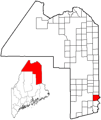
mapsize =
map_caption = Location of Amity, Maine
mapsize1 =
map_caption1 =subdivision_type = Country
subdivision_name =United States
subdivision_type1 = State
subdivision_name1 =Maine
subdivision_type2 = County
subdivision_name2 = Aroostook
government_footnotes =
government_type =
leader_title =
leader_name =
leader_title1 =
leader_name1 =
established_title =
established_date =unit_pref = Imperial
area_footnotes =area_magnitude =
area_total_km2 = 109.1
area_land_km2 = 109.1
area_water_km2 = 0.0
area_total_sq_mi = 42.1
area_land_sq_mi = 42.1
area_water_sq_mi = 0.0population_as_of = 2000
population_footnotes =
population_total = 199
population_density_km2 = 1.8
population_density_sq_mi = 4.7timezone = Eastern (EST)
utc_offset = -5
timezone_DST = EDT
utc_offset_DST = -4
elevation_footnotes =
elevation_m = 202
elevation_ft = 663
latd = 45 |latm = 55 |lats = 50 |latNS = N
longd = 67 |longm = 50 |longs = 57 |longEW = Wpostal_code_type =
postal_code =
area_code = 207
blank_name = FIPS code
blank_info = 23-01220
blank1_name = GNIS feature ID
blank1_info = 0582324
website =
footnotes =Amity is a town in Aroostook County,
Maine ,United States . The population was 199 at the 2000 census.Geography
According to the
United States Census Bureau , the town has a total area of 42.1square mile s (109.1km² ), all of it land.Demographics
As of the
census GR|2 of 2000, there were 199 people, 77 households, and 62 families residing in the town. Thepopulation density was 4.7 people per square mile (1.8/km²). There were 122 housing units at an average density of 2.9/sq mi (1.1/km²). The racial makeup of the town was 98.99% White, 0.50% African American, and 0.50% from two or more races.There were 77 households out of which 32.5% had children under the age of 18 living with them, 72.7% were married couples living together, 7.8% had a female householder with no husband present, and 18.2% were non-families. 14.3% of all households were made up of individuals and 1.3% had someone living alone who was 65 years of age or older. The average household size was 2.58 and the average family size was 2.81.
In the town the population was spread out with 26.1% under the age of 18, 5.0% from 18 to 24, 27.6% from 25 to 44, 32.2% from 45 to 64, and 9.0% who were 65 years of age or older. The median age was 38 years. For every 100 females there were 99.0 males. For every 100 females age 18 and over, there were 101.4 males.
The median income for a household in the town was $26,667, and the median income for a family was $26,667. Males had a median income of $26,458 versus $16,250 for females. The
per capita income for the town was $13,484. About 13.3% of families and 15.0% of the population were below thepoverty line , including 27.5% of those under the age of eighteen and none of those sixty five or over.References
Wikimedia Foundation. 2010.