- Cléguer
-
Cléguer
Kleger
 CléguerLocation within Brittany region
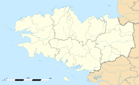 Cléguer
Administration Country France Region Brittany Department Morbihan Arrondissement Lorient Canton Pont-Scorff Intercommunality Pays de Lorient Mayor Robert Remot
(2008—2014)Statistics Elevation 2–107 m (6.6–351 ft) Land area1 32.15 km2 (12.41 sq mi) Population2 3,061 (1999) - Density 95 /km2 (250 /sq mi) INSEE/Postal code 56040/ 56620 1 French Land Register data, which excludes lakes, ponds, glaciers > 1 km² (0.386 sq mi or 247 acres) and river estuaries. 2 Population without double counting: residents of multiple communes (e.g., students and military personnel) only counted once. Coordinates: 47°51′18″N 3°22′58″W / 47.855°N 3.38277777778°W
Cléguer (Kleger in Breton) is a commune in the Morbihan department of Brittany in north-western France.
Contents
Demographics
Inhabitants of Cléguer are called in French Cléguerois.
See also
External links
- Official site (French)
- French Ministry of Culture list for Cléguer (French)
- Map of Cléguer on Michelin (English)
References
Categories:- Communes of Morbihan
- Morbihan geography stubs


Wikimedia Foundation. 2010.