- Berric
French commune
nomcommune=Berric
native_name=Berrig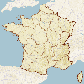
x = 49
y = 104
lat_long=coord|47|37|59|N|2|31|28|W|region:FR_type:city
insee=56015
cp=56230
région=Bretagne
département=Morbihan
arrondissement=Vannes
canton=Questembert
maire=André Fegeant
mandat=2001-2008
intercomm=Communauté de communes du Pays de Questembert
alt mini=24 m
alt maxi=122 m
km²=21.45
sans=formatnum:1,027
date-sans=1999
dens=formatnum:48
date-dens=1999|Berric ("Berrig" in Breton) is a French commune located in the
Morbihan "département", in theBretagne "région".Demographics
Inhabitants of Berric are called "Berricois".
As of the
census of 1999, the village has a population of formatnum:1,027.ee also
*
Communes of the Morbihan department External links
* [http://www.culture.gouv.fr/public/mistral/merimee_fr?ACTION=CHERCHER&FIELD_98=INSEE&VALUE_98=56015 French Ministry of Culture list for Berric] fr icon
* [http://www.viamichelin.co.uk/viamichelin/gbr/dyn/controller/mapPerformPage?strAddress=&strCP=56230&strLocation=Berric&strCountry=1424&image2.x=28&image2.y=7 Map of Berric on Michelin] en iconReferences
[http://www.maires56.asso.fr Mayors of Morbihan Association] fr icon; [http://www.insee.fr/en/home/home_page.asp INSEE] en icon; [http://www.ign.fr/rubrique.asp?rbr_id=1&lng_id=EN IGN] en icon
Wikimedia Foundation. 2010.