- Guer
French commune
nomcommune=Guer
native_name=Gwern-Porc'hoed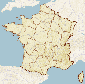
x = 56
y = 97
lat_long=coord|47|54|17|N|2|7|9|W|region:FR_type:city
région=Bretagne
département=Morbihan
arrondissement=Vannes
canton=Guer (chief town)
insee=56075
cp=56380
maire=Jean-Luc Bléher
mandat=2001 -2008
intercomm=C.C. du Pays de Guer
alt moy=50 m
alt mini=18 m
alt maxi=155 m
hectares=5,211
km²=52.11
sans=5,560
date-sans=1999
dens=106
date-dens=1999Guer (Breton: "Gwern-Porc'hoed") is a small town and commune of the
Morbihan "département", inFrance .It is located at the edge of the famous Brocéliande/Brekilien Forest, which is the setting of the
Round Table novels inBrittany . It is 43 km southwest from Rennes/Roazhon, the regional capital.Camp Coëtquidan (Camp de Coëtquidan) is located in Guer and comprises 3 military educational facilities:
*the
École Spéciale Militaire de Saint-Cyr , France's foremost military academy dedicated to the training of Army officers through direct recruitement
*the École Militaire Interarmes (inter-services military school), for non-commissioned officers
*the École Militaire du Corps Technique et Administratif (military school of the technical and administrative corps)Demographics
Inhabitants of Guer are called "Guerrois".
As of the
census of 1999, the town has a population of formatnum:5,560.ee also
*
Communes of the Morbihan department External links
* [http://www.ville-guer.fr Official site] fr icon
* [http://www.culture.gouv.fr/public/mistral/merimee_fr?ACTION=CHERCHER&FIELD_98=INSEE&VALUE_98=56075 French Ministry of Culture list for Guer] fr icon
* [http://www.viamichelin.co.uk/viamichelin/gbr/dyn/controller/mapPerformPage?strAddress=&strCP=56380&strLocation=Guer&strCountry=1424&image2.x=28&image2.y=7 Map of Guer on Michelin] en iconReferences
[http://www.maires56.asso.fr Mayors of Morbihan Association] fr icon; [http://www.insee.fr/en/home/home_page.asp INSEE] en icon; [http://www.ign.fr/rubrique.asp?rbr_id=1&lng_id=EN IGN] en icon
Wikimedia Foundation. 2010.