- Coushatta, Louisiana
-
Town of Coushatta Town  The Red River at Coushatta
Country United States State Louisiana Parish Red River Elevation 141 ft (43 m) Coordinates 32°01′23″N 93°20′30″W / 32.02306°N 93.34167°W Area 3.4 sq mi (8.8 km2) - land 3.3 sq mi (9 km2) - water 0.1 sq mi (0 km2), 2.94% Population 2,999 (2000) Density 686.5 / sq mi (265.1 / km2) Timezone CST (UTC-6) - summer (DST) CDT (UTC-5) Area code 318 
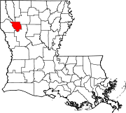
 Location of Coushatta in Louisiana
 Location of Louisiana in the United States
Website: www.coushatta.net Coushatta is a town in and the parish seat of rural Red River Parish, Louisiana, United States.[1] It is situated on the east bank of the Red River. The community is approximately forty-five miles south of Shreveport on U.S. Highway 71. The population, 2,299 at the 2000 census, is nearly two-thirds African American, most with long family histories in the area.
Contents
History
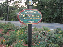 Welcoming sign in Coushatta
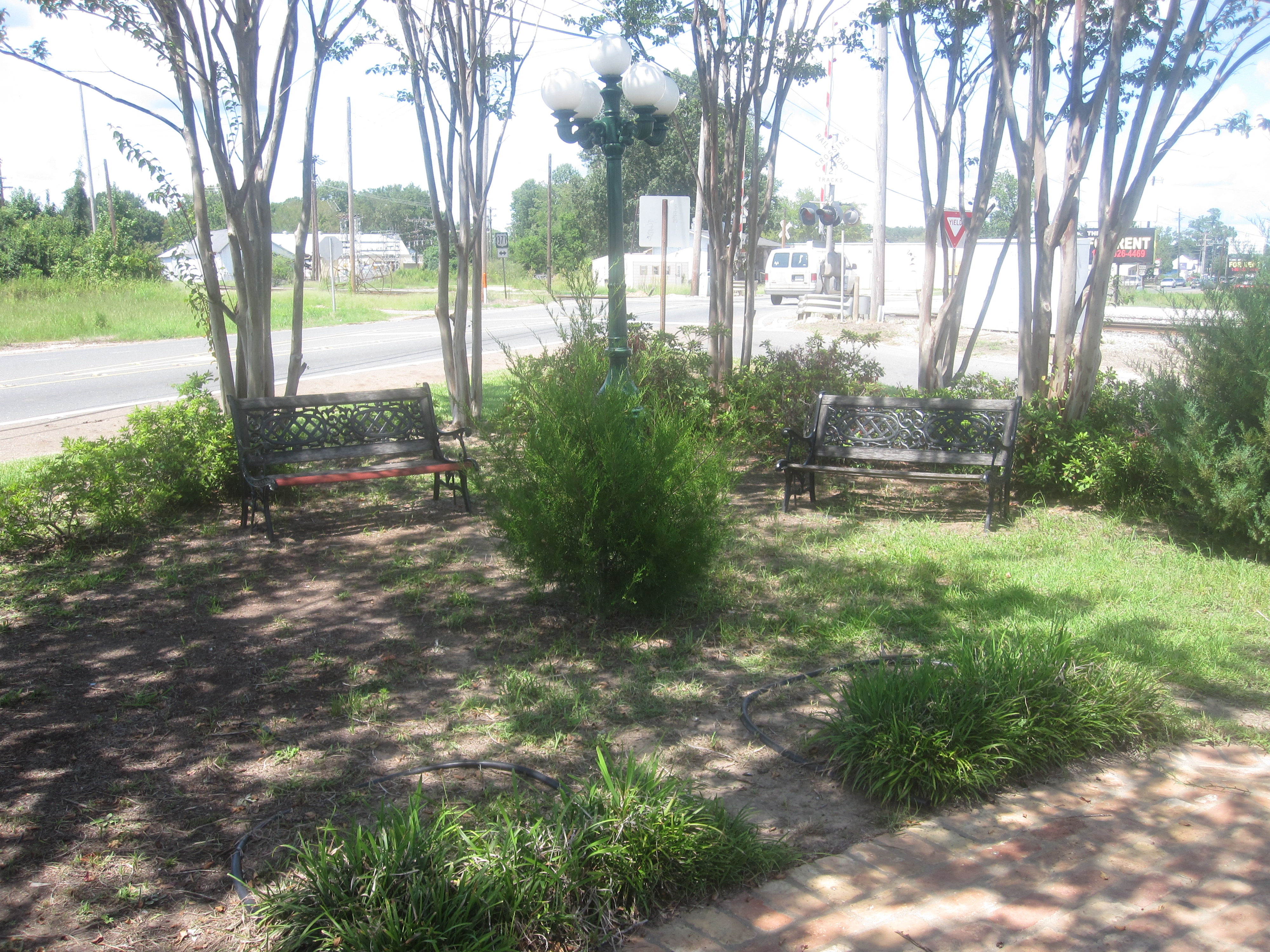
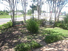 Green space at entrance to downtown Coushatta
Red River Parish and the Red River Valley were areas of unrest and white paramilitary activity and violence after the Civil War, and especially during the 1870s of Reconstruction. The parish had been based on cotton cultivation, dependent on the labor of enslaved African Americans who far outnumbered the whites. After the war, white planters and farmers tried to reestablish dominance over a majority of the population. With emancipation and being granted citizenship and suffrage, African Americans tried to create their own lives.
Formed in May 1874 from white militias, the White League in Louisiana was increasingly well-organized in rural areas like Red River Parish. It worked to turn out the Republican Party, as well as suppress freedmen's civil rights and voting rights. It used violence against officeholders, running some out of town and killing others, and acted near elections to suppress black and white Republican voter turnout.[2]
In one of the more flagrant examples of violence, the White League in August 1874 forced six Republicans from office in Coushatta, then assassinated them before they could leave the state. Victims included the brother and three brothers-in-law of the Republican State Senator Marshall H. Twitchell. Twitchell's wife and her brothers were from a family with long ties in Red River Parish. One of Twitchell's several biographies is an unpublished 1969 dissertation at Mississippi State University in Starkville by the historian Jimmy G. Shoalmire, a Shreveport native and a specialist in Reconstruction studies.[3]
The White League also killed five to twenty freedmen who had been escorting the Republicans and were witnesses to the assassinations.[4] The events became known as the Coushatta Massacre and contributed to the Republican governor's requesting more Federal troops from U.S. President U.S. Grant to help control the state. Ordinary Southerners wrote to the White House describing the terrible conditions and fear they lived under during these years.[5]
With increased fraud, violence and intimidation, white Redeemer Democrats gained control of the state legislature in 1876 and established a new system of one-party rule. They passed laws making elections more complicated and a new constitution with provisions that effectively disenfranchised most African Americans and many poorer whites. This disenfranchisement persisted for decades into the 20th century before passage of civil rights legislation and the Voting Rights Act of 1965.
Geography
Coushatta is located at 32°1′23″N 93°20′30″W / 32.02306°N 93.34167°W (32.023162, -93.341775)[6].
According to the United States Census Bureau, the town has a total area of 3.4 square miles (8.8 km2), of which 3.3 square miles (8.5 km2) is land and 0.1 square miles (0.26 km2) (2.91%) is water.
North of Coushatta, Loggy Bayou, which flows from Lake Bistineau, joins the Red River.
Demographics
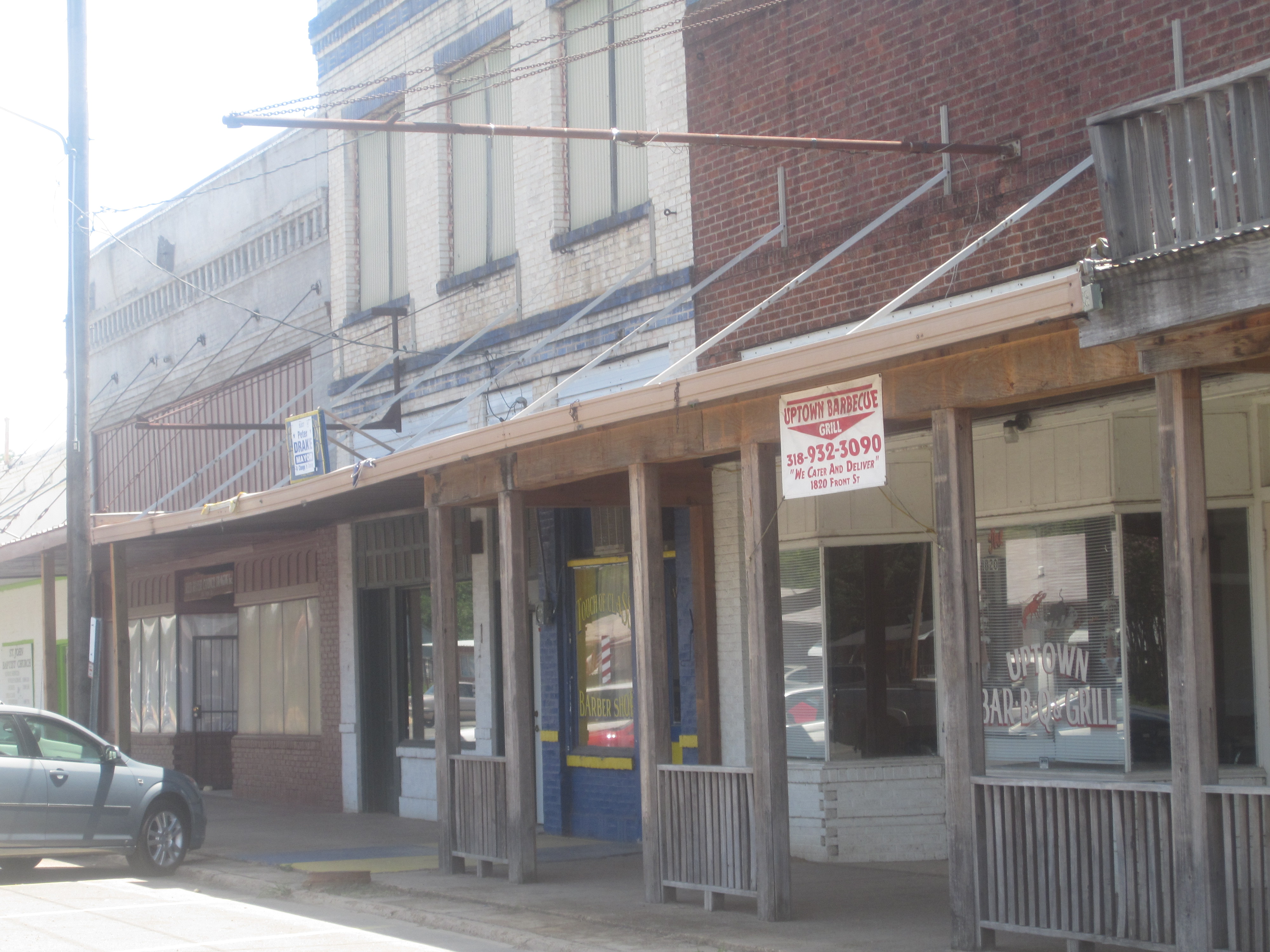
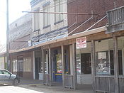 Businesses have mostly left downtown Coushatta and located east along U.S. Highway 71.
 American State Bank in Coushatta
As of the census[7] of 2000, there were 2,299 people, 738 households, and 512 families residing in the town. The population density was 686.5 people per square mile (265.0/km²). There were 823 housing units at an average density of 245.7 per square mile (94.9/km²). The racial makeup of the town was 33.19% White, 65.42% African American, 0.09% Native American, 0.13% Asian, 0.04% Pacific Islander, 0.39% from other races, and 0.74% from two or more races. Hispanic or Latino of any race were 1.17% of the population.
There were 738 households out of which 38.5% had children under the age of 18 living with them, 34.4% were married couples living together, 31.8% had a female householder with no husband present, and 30.6% were non-families. 27.1% of all households were made up of individuals and 12.9% had someone living alone who was 65 years of age or older. The average household size was 2.82 and the average family size was 3.48.
In the town the population was spread out with 33.3% under the age of 18, 10.6% from 18 to 24, 22.7% from 25 to 44, 17.8% from 45 to 64, and 15.5% who were 65 years of age or older. The median age was 30 years. For every 100 females there were 78.6 males. For every 100 females age 18 and over, there were 73.7 males.
The median income for a household in the town was $15,500, and the median income for a family was $18,958. Males had a median income of $30,938 versus $13,833 for females. The per capita income for the town was $10,228. About 44.6% of families and 49.7% of the population were below the poverty line, including 64.0% of those under age 18 and 19.7% of those age 65 or over.
 Red River Junior and Senior High School in Coushatta
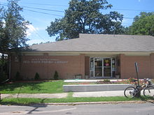 The Red River Parish Library is named for businesswoman Nellie Kilpatrick.
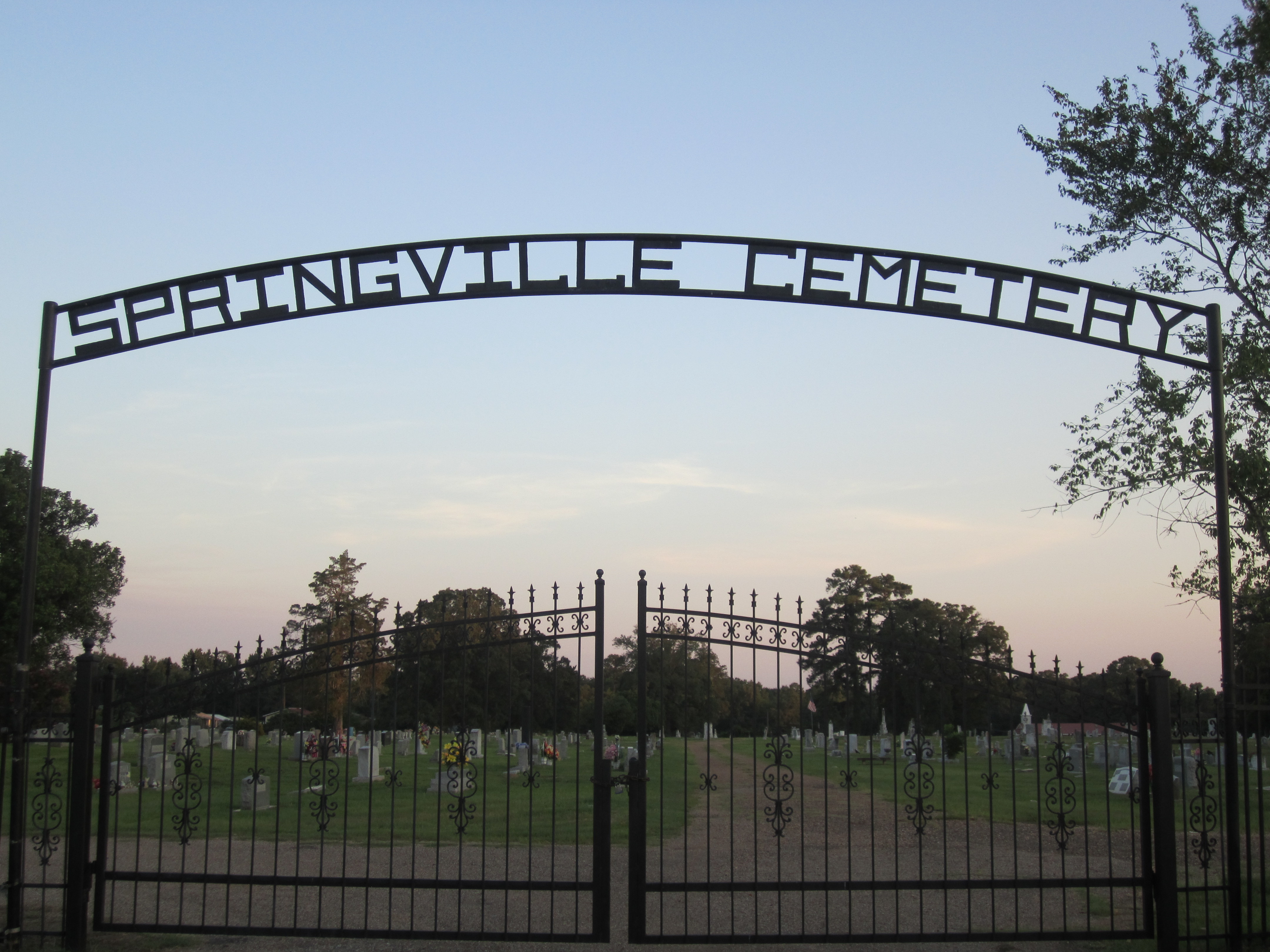
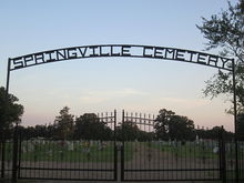 Springville Cemetery is located atop a hill off U.S. Highway 71 in Coushatta.
Education
Coushatta and all of Red River Parish are served by the Red River Parish School District. Zoned campuses include Red River Elementary School (Grades PK-5), Red River Junior High School (Grades 6-8), and Red River Senior High School (Grades 9-12).
Riverdale Academy, the only K-12 private school in Red River Parish, is located on the outskirts of Coushatta.
National Guard
Coushatta is the home of C Troop 2-108th Cavalry Squadron, a unit dating back to the Confederate Army during the Civil War under the nickname "the Wildbunch". This unit was formerly known as A Company 1-156 Armor Battalion and served recently in Iraq during 2004-5 under the 256th Infantry Brigade. This unit just returned from its second deployment to Iraq in 2010.
Notable natives and residents
- Joe Adcock, slugging first baseman for the Milwaukee Braves in the 1950s, was born and raised in Coushatta.
- Douglas Fowler (1906–1980), Red River Parish Clerk of Court (1940–1952), mayor of Coushatta (1952–1954), and Commissioner of Elections (1959–1980).
- Hendrix Marion "Mutt" Fowler, Sr., served as mayor of Coushatta, as a member of the Louisiana House of Representatives from 1972–1986, and as executive director of the Sabine River Authority.
- Jerry Marston Fowler served as Louisiana Commissioner of Elections from 1980-2000.
- Andrew R. Johnson (1856–1933), Louisiana state senator from 1916-1924 from Bienville and Claiborne parishes and mayor of Homer, Louisiana. He named the village of Ashland, Louisiana. He is interred at Springville Cemetery in Coushatta.
- Vickie Johnson, WNBA player 1997-presnt - San Antonio Silver Stars
- Donald G. Kelly graduated from the former Coushatta High School. A Natchitoches attorney and horseman, he served in the Louisiana State Senate from 1976-1996.
- W. Scott Wilkinson, Coushatta native and a Shreveport attorney, served as a state representative from Caddo Parish from 1920-1924.
References
- ^ "Find a County". National Association of Counties. http://www.naco.org/Counties/Pages/FindACounty.aspx. Retrieved 2011-06-07.
- ^ Nicholas Lemann, Redemption: The Last Battle of the Civil War, New York, Farrar, Strauss & Giroux, 2006, p.76
- ^ Footnote No. 2, Chapter 7, Jimmy G. Shoalmire, Carpetbagger Extraordinary: Marshall Harvey Twitchell, 1840-1905 cited in Lawrence N. Powell, New Masters: Northern Planters During the Civil War and Reconstruction. http://books.google.com/books?id=mlVfWvPLWXUC&pg=PA222&lpg=PA222&dq=Jimmy+G.+Shoalmire#v=onepage&q=Jimmy%20G.%20Shoalmire&f=false. Retrieved July 5, 2010.
- ^ Danielle Alexander, "Forty Acres and a Mule: The Ruined Hope of Reconstruction", Humanities, January/February 2004, Vol.25/No.1. Her article says that twenty freedmen were killed., accessed 14 Apr 2008
- ^ Nicholas Lemann, Redemption: The Last Battle of the Civil War, New York, Farrar, Strauss & Giroux, 2006, p.76-77. Lemann contends that five freedmen were killed.
- ^ "US Gazetteer files: 2010, 2000, and 1990". United States Census Bureau. 2011-02-12. http://www.census.gov/geo/www/gazetteer/gazette.html. Retrieved 2011-04-23.
- ^ "American FactFinder". United States Census Bureau. http://factfinder.census.gov. Retrieved 2008-01-31.
External links
Municipalities and communities of Red River Parish, Louisiana Town Coushatta
Villages Unincorporated
communitiesCategories:- Towns in Louisiana
- Populated places in Red River Parish, Louisiana
- Parish seats in Louisiana
- Populated places in Louisiana with African American majority populations


Wikimedia Foundation. 2010.