- Marshall Covered Bridge
-
Marshall Bridge
 Marshall Covered Bridge
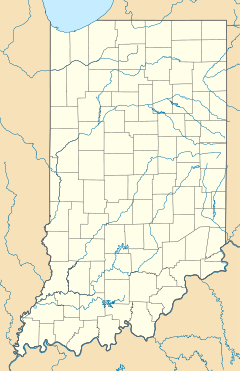

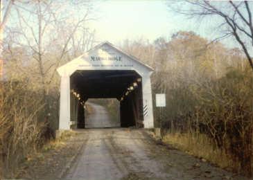
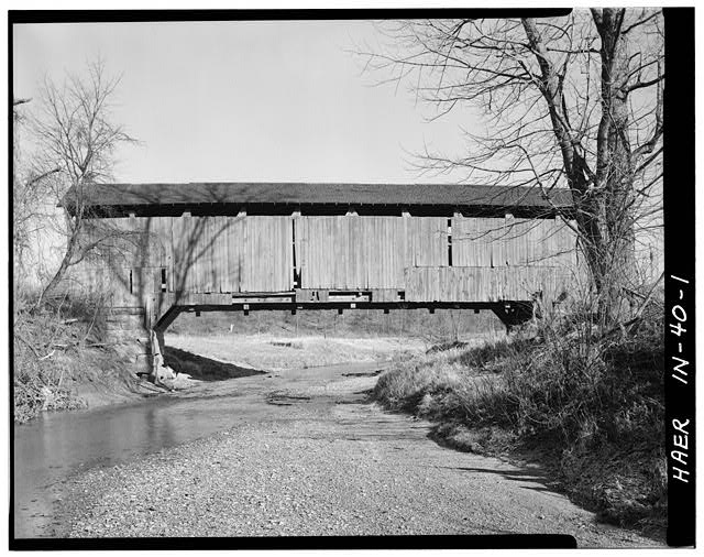
Nearest city: Rockville, Indiana Coordinates: 39°53′0.34″N 87°19′34.64″W / 39.8834278°N 87.3262889°WCoordinates: 39°53′0.34″N 87°19′34.64″W / 39.8834278°N 87.3262889°W Built: 1917 Architect: Britton,J. A. Architectural style: Other Governing body: Local MPS: Parke County Covered Bridges TR NRHP Reference#: 78000400 [1] Added to NRHP: December 22, 1978 The Marshall Covered Bridge is a single span Burr Arch Truss covered bridge structure that was built by Joseph A. Britton & Son in 1917.[2] The bridge is 74 feet long, 15 feet wide, and 14 feet high.
-

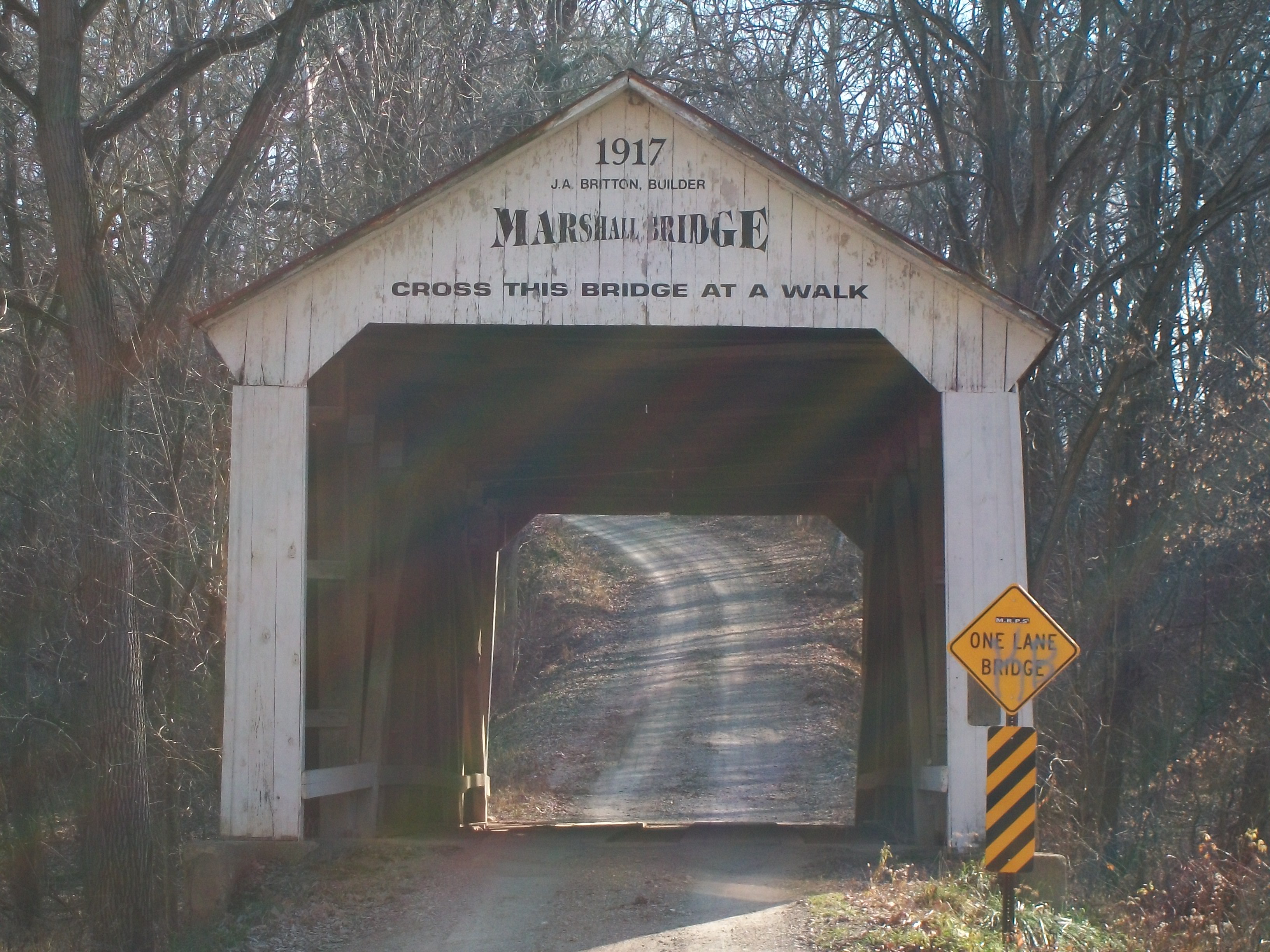
Marshall Bridge in the mid-1990s.
See also
- List of Registered Historic Places in Indiana
- Parke County Covered Bridges
- Parke County Covered Bridge Festival
References
- ^ "National Register Information System". National Register of Historic Places. National Park Service. 2007-01-23. http://nrhp.focus.nps.gov/natreg/docs/All_Data.html.
- ^ Parke County - Covered Bridge Capital of the World
Parke County Covered Bridges Beeson - Big Rocky Ford - Billie Creek - Bowsher Ford - Bridgeton - Catlin - Conley's Ford - Cox Ford - Crooks - Harry Evans - Jackson - Jeffries Ford - Leatherwood Station - Mansfield - Marshall - McAllister - Mecca - Melcher - Mill Creek - Narrows - Neet - Nevins - Phillips - Portland Mills - Roseville - Rush Creek - Sanitorium - Sim Smith - Thorpe Ford - West Union - Wilkins Mill - Zacke Cox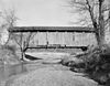 Categories:
- Covered bridges in Parke County, Indiana
- Bridges completed in 1917
- Road bridges in Indiana
- Indiana building and structure stubs
- United States bridge (structure) stubs
- Indiana Registered Historic Place stubs
-

Wikimedia Foundation. 2010.