- Mount Ayr, Iowa
-
Mount Ayr, Iowa — City — Location of Mount Ayr, Iowa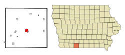
Coordinates: 40°42′51″N 94°14′13″W / 40.71417°N 94.23694°WCoordinates: 40°42′51″N 94°14′13″W / 40.71417°N 94.23694°W Country  United States
State  Iowa
IowaCounty Ringgold Area – Total 2.5 sq mi (6.6 km2) – Land 2.5 sq mi (6.6 km2) – Water 0.0 sq mi (0.0 km2) Elevation 1,220 ft (372 m) Population (2000) – Total 1,822 – Density 720.2/sq mi (278.1/km2) Time zone Central (CST) (UTC-6) – Summer (DST) CDT (UTC-5) ZIP code 50854 Area code(s) 641 FIPS code 19-54480 GNIS feature ID 0459275 Mount Ayr is a city in Ringgold County, Iowa, United States. The population was 1,822 at the 2000 census. It is the county seat of Ringgold County[1].
Contents
Geography
Mount Ayr's longitude and latitude coordinates
in decimal form are 40.714210, -94.236892. [2]According to the United States Census Bureau, the city has a total area of 2.5 square miles (6.5 km2), of which, 2.5 square miles (6.5 km2) of it is land and 0.39% is water.
Demographics
As of the census[3] of 2000, there were 1,822 people, 780 households, and 492 families residing in the city. The population density was 720.2 people per square mile (278.1/km²). There were 856 housing units at an average density of 338.4 per square mile (130.6/km²). The racial makeup of the city was 98.96% White, 0.27% Native American, 0.27% Asian, 0.05% from other races, and 0.44% from two or more races. Hispanic or Latino of any race were 0.44% of the population.
There were 780 households out of which 26.4% had children under the age of 18 living with them, 53.6% were married couples living together, 6.9% had a female householder with no husband present, and 36.9% were non-families. 34.7% of all households were made up of individuals and 23.5% had someone living alone who was 65 years of age or older. The average household size was 2.21 and the average family size was 2.82.
In the city the population was spread out with 22.1% under the age of 18, 6.8% from 18 to 24, 20.6% from 25 to 44, 19.7% from 45 to 64, and 30.8% who were 65 years of age or older. The median age was 46 years. For every 100 females there were 80.4 males. For every 100 females age 18 and over, there were 75.2 males.
The median income for a household in the city was $26,893, and the median income for a family was $37,188. Males had a median income of $27,333 versus $20,184 for females. The per capita income for the city was $14,444. About 8.3% of families and 13.1% of the population were below the poverty line, including 16.1% of those under age 18 and 14.5% of those age 65 or over.
Arts and culture
Library
The Mount Ayr Public Library is a Carnegie Library and has a microfiche film collection dating back to 1838 and a specialized genealogy room.
Parks and recreation
Local places for recreation include:[citation needed]
- Judge Lewis Recreational Park, the city park
- Poe Hollow Park & Ringgold Trailway
- Sun Valley Lake and Resort, including a golf course and boating facilities
- Fife's Grove and Loch Ayr, including a park and lake
Education
Mount Ayr has one high school (grades 7-12) and one elementary school (grades K-6), as well as a preschool and alternative high school. Enrollment averages around 50 students in each class. The drama department of Mount Ayr Community High School (MACHS) has produced several students who have played at district and state competitions.
Education statistics
For population 25 years and over in Mount Ayr:
- High school or higher: 81.4%
- Bachelor's degree or higher: 16.6%
- Graduate or professional degree: 5.2%
Airport
Judge Lewis Field, that is located 2 miles South East of Mount Ayr 40°42′23″N 94°13′13″W / 40.70639°N 94.22028°W and FAA Identified as 1Y3, is a small airport serving single-engine aircraft, operated by the city of Mount Ayr. The airport has a single gravel runway that is 2,600 feet (790 m) long by 40 feet (12 m) wide. [4]
Notable people
- Peggy Whitson (1960– ) astronaut on two expeditions, As of 2011[update] holds the office of The Chief Astronaut. [5]
Gallery
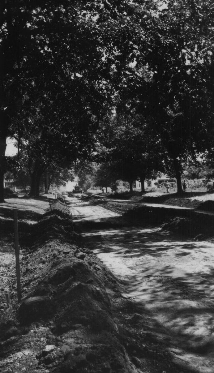
-

Paving Lincoln St.,
about 1935
References
- ^ "Find a County". National Association of Counties. http://www.naco.org/Counties/Pages/FindACounty.aspx. Retrieved 2011-06-07.
- ^ "US Gazetteer files: 2010, 2000, and 1990". United States Census Bureau. 2011-02-12. http://www.census.gov/geo/www/gazetteer/gazette.html. Retrieved 2011-04-23.
- ^ "American FactFinder". United States Census Bureau. http://factfinder.census.gov. Retrieved 2008-01-31.
- ^ "Judge Lewis Field Mount Ayr Municipal Airport". AirNav. http://www.airnav.com/airport/1Y3. Retrieved May 23, 2011.
- ^ "Peggy A. Whitson (Ph.D.) Bio". National Aeronautics and Space Administration. October 2009. http://www.jsc.nasa.gov/Bios/htmlbios/whitson.html. Retrieved May 23, 2011.
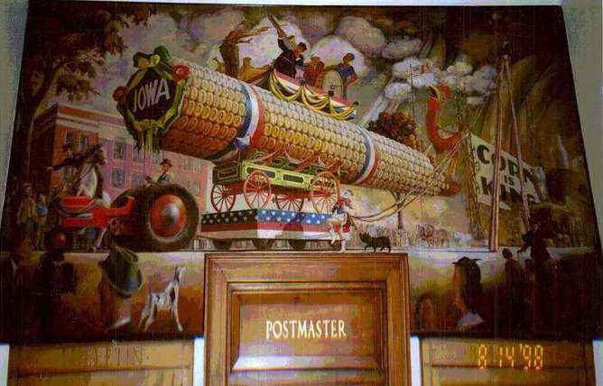
- ^ "The Corn Parade". History Matters. http://historymatters.gmu.edu/d/6702. Retrieved May 23, 2011.
External links
- School website
- City-Data Comprehensive Statistical Data and more about Mount Ayr
Municipalities and communities of Ringgold County, Iowa County seat: Mount AyrCities Beaconsfield | Benton | Clearfield‡ | Delphos | Diagonal | Kellerton | Maloy | Mount Ayr | Redding | Shannon City‡ | Tingley

Footnotes ‡This populated place also has portions in an adjacent county or counties
Categories:- Cities in Iowa
- Populated places in Ringgold County, Iowa
- County seats in Iowa

Wikimedia Foundation. 2010.