- Ochtendung
-
Ochtendung 

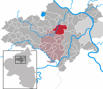
 OchtendungLocation of Ochtendung within Mayen-Koblenz district
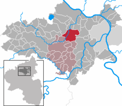
Coordinates 50°20′53″N 7°23′23″E / 50.34806°N 7.38972°ECoordinates: 50°20′53″N 7°23′23″E / 50.34806°N 7.38972°E Administration Country Germany State Rhineland-Palatinate District Mayen-Koblenz Municipal assoc. Maifeld Mayor Rita Hirsch (SPD) Basic statistics Area 24.08 km2 (9.30 sq mi) Elevation 200 m (656 ft) Population 5,192 (31 December 2010)[1] - Density 216 /km2 (558 /sq mi) Other information Time zone CET/CEST (UTC+1/+2) Licence plate MYK Postal code 56299 Area code 02625 Website www.ochtendung.de  Microphotograph of pseudobrookite (Mindat) mineral specimen, Wannenköpfe, Ochtendung. Image width 2.5 mm.
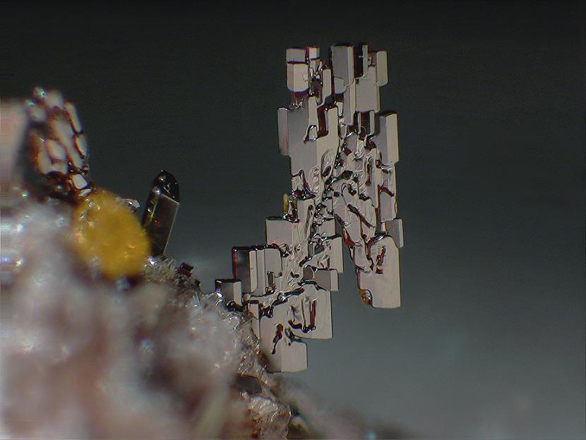
Ochtendung is a municipality in the district of Mayen-Koblenz in Rhineland-Palatinate, western Germany.
Contents
Geography
Ochtendung lies between the A 48 and A 61 motorways and has designated junctions from both. The village lies on the Nette and is neighboured by the municipalities of Lonnig, Bassenheim, Plaidt, Kruft and Saffig. Up until a few years ago, the B 258 road started in Koblenz before running through Ochtendung and Mayen towards Belgium, passing the Nürburgring. The stretch between Koblenz and Mayen was regraded due to the proximity to the A 48 and has since been the L 98.
Municipal Division
The districts Alsingerhof, Emmingerhof, Fressenhöfe Waldorferhof and Sackenheimerhöfe (previously a Bassenheim district) make up the municipality of Ochtendung.
Etymology
The name of the village is derived from the word Thing or Ding (Ochtendung). A 'Thing' was a governing assembly in Germanic societies.
Archeology
The south east area of the Eifel region is a veritable treasure trove for archeologists. In 1997, Axel von Berg found the cranium of a Neanderthal along with three stone artefacts by the 'Wannerköpfe' volcano in 1997. The cranium belonged to an adult man (some 35 – 40 years old) and had been broken into three pieces due to the pressure of the Earth, but these were seamlessly put back together.
Dated at some 160,000 to 170,000 years old, the man belonged to the early Neanderthals. Especially interesting is the closeness of the bones to those of homo erectus and because, around the edge there appear to be traces of human handling. It can be guessed that they were adapted and used as tools or bowls. The cranium was quickly covered by sediment and has therefore been well preserved.
Politics
The Gemeinderat (comparable to the town council in English) of Ochtendung consists of 22 council members , voted in after the local elections of 7 July 2009 and headed by the Ortsbürgermeister in a voluntary position, as per the custom in the state of Rhineland Palatinate for village municipalities. This position is similar to the position of a town mayor.
The allocation of seats after the election is as follows:
SPD 11 seats
CDU 7 seats
FWG1 2 seats
WG Ich tu's (I do it) 2 seatsSights and Tourism
Burg Wernerseck
Karmelenberg volcano
Kulturhalle Ochtendung used for holding special events
Remains of the town wall
Cycle and Sculpture Trail between Ochtendung and PolchFamous residents
Jakob Vogt (1902–1985) Weightlifter
Jürgen Weigt (* 1957) Brigadier in the German Army
Peter Peters (* 1962) Journalist and football Functionary
Kristin Silbereisen (* 1985) Table Tennis PlayerSources
Human Evolution, 19,1 S. 1 - 8 (2004)
Terra Nostra, Schriften der GeoUnion Alfred-Wegener-Stiftung, 2006/2 (Kongresszeitschrift)
Dr. Axel von Berg's discovery (German Only)
http://www.statistik.rlp.de/fileadmin/dokumente/berichte/A1033_200822_hj_G.pdf
Local Election Results 2009 (German Only)Acht · Alken · Andernach · Anschau · Arft · Baar · Bassenheim · Bell · Bendorf · Bermel · Boos · Brey · Brodenbach · Burgen · Dieblich · Ditscheid · Einig · Ettringen · Gappenach · Gering · Gierschnach · Hatzenport · Hausten · Herresbach · Hirten · Kalt · Kaltenengers · Kehrig · Kerben · Kettig · Kirchwald · Kobern-Gondorf · Kollig · Kottenheim · Kretz · Kruft · Langenfeld · Langscheid · Lehmen · Lind · Löf · Lonnig · Luxem · Macken · Mayen · Mendig · Mertloch · Monreal · Mülheim-Kärlich · Münk · Münstermaifeld · Nachtsheim · Naunheim · Nickenich · Niederfell · Niederwerth · Nörtershausen · Oberfell · Ochtendung · Pillig · Plaidt · Polch · Reudelsterz · Rhens · Rieden · Rüber · Saffig · Sankt Johann · Sankt Sebastian · Siebenbach · Spay · Thür · Trimbs · Urbar · Urmitz · Vallendar · Virneburg · Volkesfeld · Waldesch · Weiler · Weißenthurm · Weitersburg · Welling · Welschenbach · Wierschem · Winningen · Wolken

References
- ^ "Bevölkerung der Gemeinden am 31.12.2010" (in German). Statistisches Landesamt Rheinland-Pfalz. 31 December 2010. http://www.statistik.rlp.de/fileadmin/dokumente/berichte/A1033_201022_hj_G.pdf.
Categories:- Municipalities in Rhineland-Palatinate


Wikimedia Foundation. 2010.