- Pennsylvania Route 643
-
PA Route 643
Route information Maintained by PennDOT Length: 7.2 mi[1] (11.6 km) Existed: 1963 – present Major junctions West end:  I-70 in Brush Creek Township
East end:  US 522 in Bethel Township
Location Counties: Fulton Highway system Roads in Pennsylvania
Interstate • US • State • Legislative←  PA 642
PA 645  →
→Pennsylvania Route 643 (PA 643) is an 7-mile (11 km) long state highway located in Fulton county in Pennsylvania. The eastern terminus is at US 522 in Bethel Township. The western terminus is at I 70 in Brush Creek Township.
Route description

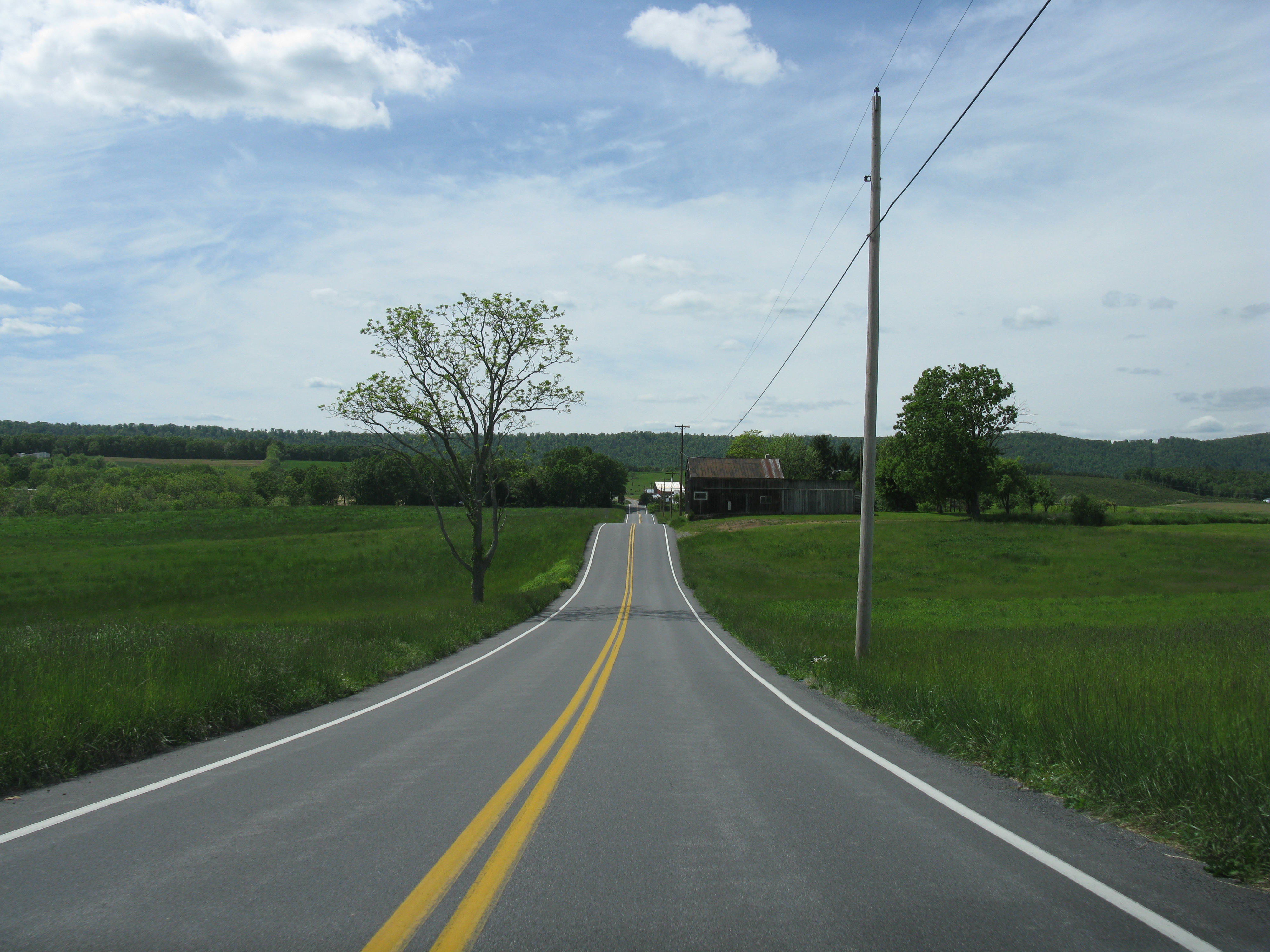
PA 643 begins at an interchange with I-70 in Brush Creek Township, heading south on two-lane undivided Old 126. The route crosses forested Town Hill before heading into agricultural areas, forking to the southeast onto Flickerville Road. The road passes through the residential community of Town Hill before ascending forested Sideling Hill. PA 643 curves northeast to reach the summit of the hill, at which point it makes a sharp turn to the south into Bethel Township to descend the hill. The road comes to the community of Sideling Hill and turns east into agricultural areas with some woods and homes. The route heads southeast before turning south and coming to its eastern terminus at US 522.[1][2]
Major intersections
The entire route is in Fulton County.
Location Mile[1] Destinations Notes Brush Creek Township 0.0 I-70I-70 exit 156 Bethel Township 7.2 US 522 (Great Cove Road)1.000 mi = 1.609 km; 1.000 km = 0.621 mi References
- ^ a b c Google, Inc. Google Maps – overview of Pennsylvania Route 643 (Map). Cartography by Google, Inc. http://maps.google.com/maps?f=d&source=s_d&saddr=PA-643+S%2FOld+126&daddr=PA+643+and+US+522&hl=en&geocode=FeiWYAIdZhtW-w%3BFUh-XwId_N5W-ykzXBp72zvKiTHy1LafHLpz1A&mra=ls&sll=39.883824,-78.237848&sspn=0.029572,0.084543&ie=UTF8&t=h&z=12. Retrieved May 26, 2011.
- ^ PennDOT (2011). Fulton County, Pennsylvania Highway Map (Map). ftp://ftp.dot.state.pa.us/public/pdf/BPR_pdf_files/Maps/GHS/Roadnames/fulton_GHSN.PDF. Retrieved May 26, 2011.
Categories:- State highways in Pennsylvania

Wikimedia Foundation. 2010.