Georgia State Route 75 — Karte … Deutsch Wikipedia
Georgia State Route 21 — Infobox road state=GA type= route=21 length mi=84.29 length ref= [http://www.dot.state.ga.us/DOT/plan prog/transportation data/400reports/2002/dpp444 2002.pdf] length round=2 established= direction a=South direction b=North starting terminus=… … Wikipedia
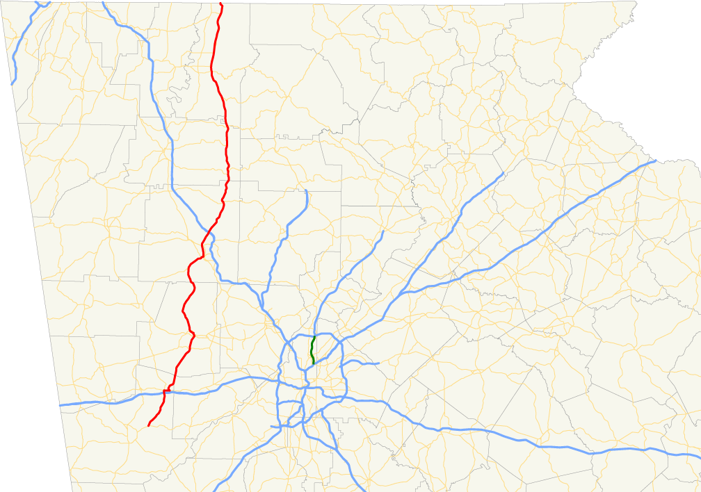
Georgia State Route 12 — GA 12 redirects here. For the congressional district, see Georgia s 12th congressional district. State Route 12 … Wikipedia
Georgia State Route 27 — Infobox road state=GA type= route=27 length mi= length ref= [http://www.dot.state.ga.us/DOT/plan prog/transportation data/400reports/2002/dpp444 2002.pdf] length round=2 established= direction a=West direction b=East starting terminus= junction=… … Wikipedia
Georgia State Route 55 — Infobox road state=GA type= route=55 length mi=20.56 length ref= [http://www.dot.state.ga.us/DOT/plan prog/transportation data/400reports/2002/dpp444 2002.pdf] length round=2 established= direction a=South direction b=North starting terminus=… … Wikipedia
Georgia State Route 35 — Infobox road state=GA type= route=35 length mi= length ref= [http://www.dot.state.ga.us/DOT/plan prog/transportation data/400reports/2002/dpp444 2002.pdf] length round=2 established= direction a=South direction b=North starting terminus= junction … Wikipedia
Georgia State Route 22 — Infobox road state=GA type= route=22 length mi= length ref= [http://www.dot.state.ga.us/DOT/plan prog/transportation data/400reports/2002/dpp444 2002.pdf] length round=2 established= direction a=West direction b=East starting terminus=Alabama… … Wikipedia
Georgia State Route 56 — Infobox road state=GA type= route=56 length mi= length ref= [http://www.dot.state.ga.us/DOT/plan prog/transportation data/400reports/2002/dpp444 2002.pdf] length round=2 established= direction a=South direction b=North starting terminus= junction … Wikipedia
Georgia State Route 24 — Infobox road state=GA type= route=24 length mi= length ref=Fact|date=April 2007 length round=0 established= direction a=South direction b=North starting terminus= junction= ending terminus= previous route=23 next route=25State Route 24 is a state … Wikipedia
Georgia State Route 37 — Infobox road state=GA type= route=37 length mi= length ref= [http://www.dot.state.ga.us/DOT/plan prog/transportation data/400reports/2002/dpp444 2002.pdf] length round=2 established= direction a=West direction b=East starting terminus= junction=… … Wikipedia
Georgia State Route 48 — Infobox road state=GA type= route=48 length mi=12.52 length ref= [http://www.dot.state.ga.us/DOT/plan prog/transportation data/400reports/2002/dpp444 2002.pdf] length round=2 established= direction a=West direction b=East starting terminus=… … Wikipedia