Crane Creek (California)

Crane Creek (California)
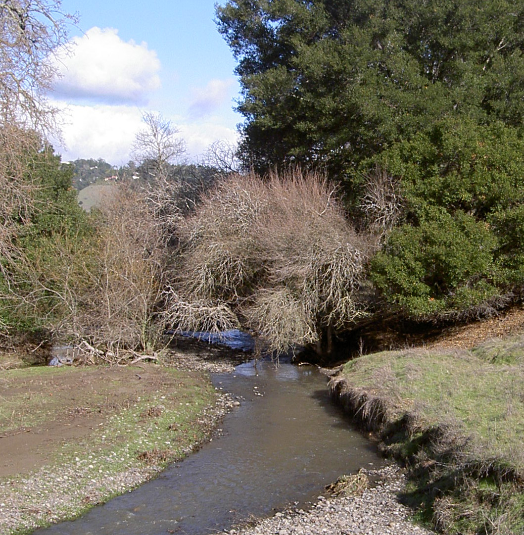
Crane Creek
stream
Crane Creek east of Rohnert Park
Country United States
State California
Region Sonoma County
City Rohnert Park, California
Source
 - location Sonoma Mountain
 - elevation 1,535 ft (468 m)
 - coordinates 38°21′4″N 122°36′4″W / 38.35111°N 122.60111°W / 38.35111; -122.60111 [1]
Mouth Hinebaugh Creek
 - location Rohnert Park, California
 - elevation 112 ft (34 m) [1]
 - coordinates 38°21′19″N 122°41′26″W / 38.35528°N 122.69056°W / 38.35528; -122.69056 [1]

Crane Creek is a stream in Sonoma County, California, USA which rises in the northern Sonoma Mountains. [2] This watercourse flows through Crane Canyon and the Crane Creek Regional Park [3] situated on the northwestern flank of Sonoma Mountain. Crane Creek forms a confluence with Hinebaugh Creek in the city of Rohnert Park; thereafter, the channelized [4] Hinebaugh Creek flows westerly to discharge to the Laguna de Santa Rosa. Hiking access to the upper Crane Creek reaches is from Roberts Road off of Petaluma Hill Road.[5]

See also

References

  1. ^ a b c U.S. Geological Survey Geographic Names Information System: Crane Creek
  2. ^ USGS: 7.5 minute quadrangle map: Cotati, photorevised (1980)
  3. ^ Sonoma County Regional Parks: Crane Creek Regional Park (2005)
  4. ^ Earth Metrics Inc., Environmental Impact Report for the City of Rohnert Park General Plan, C Michael Hogan, Marc Papineau, Ballard George et al., City of Rohnert Park, California and the State of California Environmental Clearinghouse, Sacramento, Report 10351, March, 1990
  5. ^ Bay Area Hiker: Crane Creek Regional Park, 2003


Wikimedia Foundation. 2010.

Игры ⚽ Нужен реферат?

Look at other dictionaries:

  • Crane Creek — may refer to: Crane Creek (California) Crane Creek (Melbourne, Florida) Crane Creek (Missouri) This disambiguation page lists articles about distinct geographical locations with the same name. If an …   Wikipedia

  • Crane Creek Lumber Company — Locale Modoc County, California Dates of operation 1928–1930 (tracks removed 1934) Track gauge Standard Length 16.5 miles Headquarters Willow Ranch, California …   Wikipedia

  • Crane Creek Regional Park — is a regional park east of Rohnert Park, California, U.S.A. which is maintained by the Sonoma County Regional Parks Department. It covers an area of 128 acres (52 ha)[1] at 38°20′46″N 122°38′42″W …   Wikipedia

  • Crane Flat Fire Lookout — U.S. National Register of Historic Places …   Wikipedia

  • Crane (bird) — Cranes Indian Sarus Cranes Grus antigone antigone Scientific classification Kingdom …   Wikipedia

  • California State Route 120 — State Route 120 Route information …   Wikipedia

  • Copeland Creek — Coordinates: 38°20′37″N 122°43′25″W / 38.34361°N 122.72361°W / 38.34361; 122.72361 …   Wikipedia

  • Five Creek — Geobox|River name = Five Creek native name = other name = category = stream etymology = nickname = image caption = Five Creek north of the golf course country = United States state = California region = Sonoma County district = municipality =… …   Wikipedia

  • Hinebaugh Creek — Geobox|River name = Hinebaugh Creek native name = other name = category = stream etymology = nickname = image caption = Hinebaugh Creek after a storm. country = United States state = California region = Sonoma County district = municipality =… …   Wikipedia

  • Cotati, California — The City of Cotati   City   Logo …   Wikipedia

Share the article and excerpts

Direct link
Do a right-click on the link above
and select “Copy Link”