- Sonoma Mountains
Geobox|Range
name = Sonoma Mountains
native_name =
other_name =
category =
etymology =
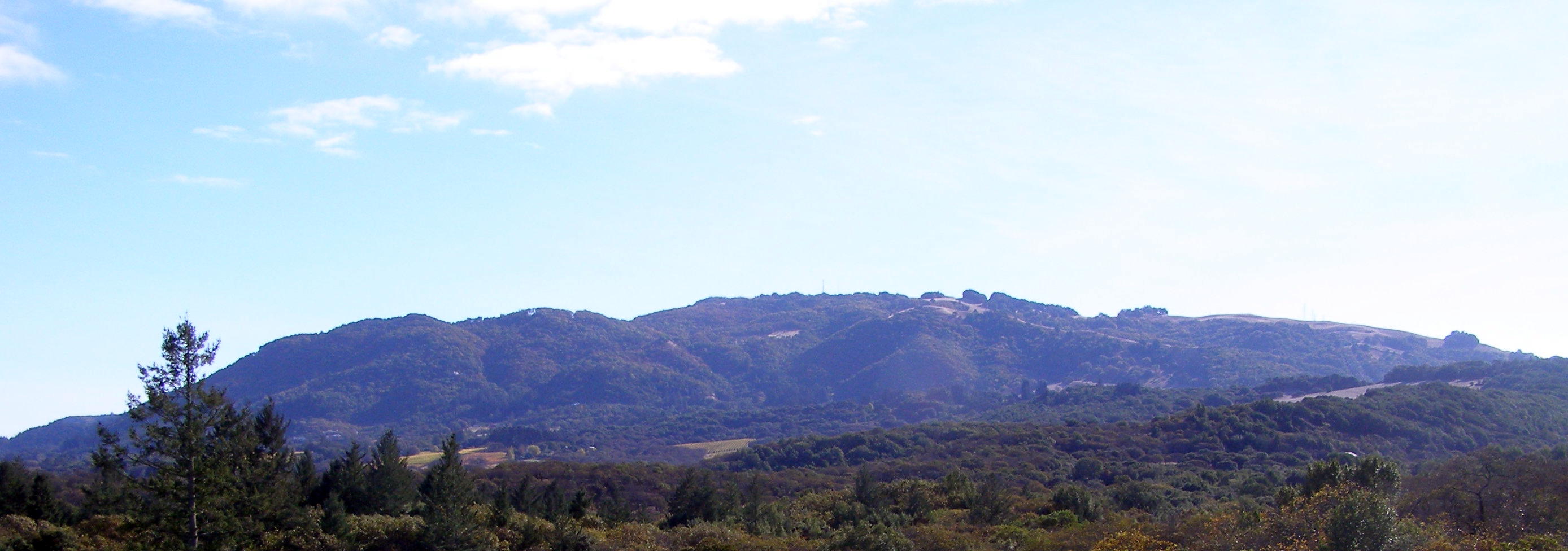
image_caption = Sonoma Mountain
country = United States
state = California
region = Sonoma County
district =
municipality =
range =California Coast Ranges
border =
part =
city =
landmark =
river =
highest = Sonoma Mountain
highest_location = | highest_region = | highest_country =
highest_elevation_imperial = 2287
highest_lat_d = 38 | highest_lat_m = 19 | highest_lat_s = 23 | highest_lat_NS = N
highest_long_d = 122 | highest_long_m = 34 | highest_long_s = 30 | highest_long_EW = W
lowest =
lowest_location = | lowest_region = | lowest_country =
lowest_elevation_imperial =
lowest_lat_d = | lowest_lat_m = | lowest_lat_s = | lowest_lat_NS =
lowest_long_d = | lowest_long_m = | lowest_long_s = | lowest_long_EW =
length_imperial = 14 | length_orientation = northwest-southeast
width_imperial = | width_orientation =
height_imperial =
area_imperial =
geology =
orogeny =
period =
biome =
plant =
animal =
free = | free_type =
map_caption =
map_background =
map_location =
map_locator =
website =
footnotes =The Sonoma Mountains [gnis|234887|Sonoma Mountains] are a northwest-southeast trending formation of
California Coast Ranges inSonoma County, California , USA. ["Santa Rosa Quadrangle", Fifteen minute series,USGS Quadrangle Map, U.S. Government Printing Office, Washington DC (1958)] The range is approximately fourteen miles (22.5 km) long and separates theSonoma Creek watershed from thePetaluma River andTolay Creek watersheds. The highest point of this range isSonoma Mountain , elevation convert|2287|ft|m|0|lk=on|abbr=on [gnis|234886|Sonoma Mountain] .Jack London State Historic Park ,Crane Creek Regional Park , and theFairfield Osborn Preserve are all on Sonoma Mountain. A number ofthreatened andendangered species are found in the Sonoma Mountains including theFragrant Fritillary , "Fritillaria liliacea".Hydrology
Many creeks rise in the Sonoma Mountains. From the northwestern slopes,
Copeland Creek andHinebaugh Creek flow to theLaguna de Santa Rosa , eventually entering thePacific Ocean just south ofJenner, California .Matanzas Creek and Spring Creek flow north intoSanta Rosa Creek , another tributary of the Laguna.Tributaries of
Sonoma Creek rise on the eastern exposures of the Sonoma Mountains:Yulupa Creek ,Carriger Creek ,Graham Creek , Felder Creek, and Rogers Creek. These eventually enterSan Pablo Bay south ofSonoma, California .The southwestern slopes drain to
San Pablo Bay by other routes: eitherTolay Creek or else some tributary of thePetaluma River such asLichau Creek , Lynch Creek, orAdobe Creek .References
External links
ee also
*
Pomo people
*Taylor Mountain
Wikimedia Foundation. 2010.