- Normanton, Queensland
-
Normanton
Queensland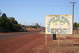
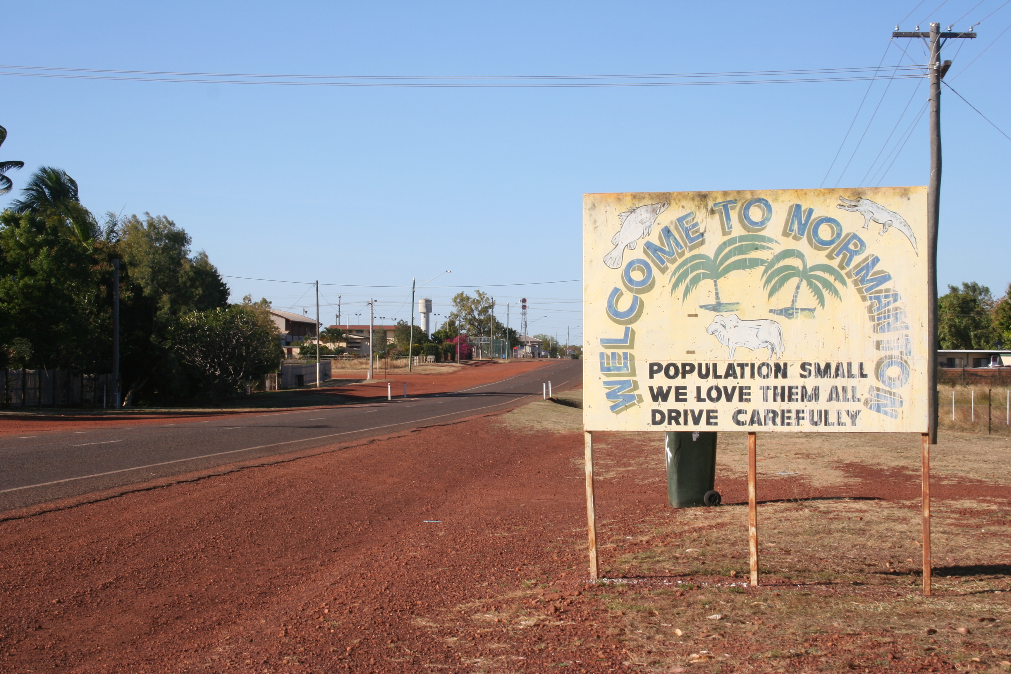
Entry into Normanton
 Normanton
Population: 1,100[1] Established: 1867 Postcode: 4890 Coordinates: 17°40′S 141°04′E / 17.667°S 141.067°ECoordinates: 17°40′S 141°04′E / 17.667°S 141.067°E Location: LGA: Shire of Carpentaria State District: Mount Isa Federal Division: Kennedy Mean max temp Mean min temp Annual rainfall 33.4 °C
92 °F21.3 °C
70 °F921.7 mm
36.3 inNormanton is a small cattle town in the Gulf Country region of northwest Queensland, Australia, just south of the Gulf of Carpentaria, on the Norman River. The town's population is 1,100, 60 per cent of whom are Indigenous Australians.[1] The town is one terminus of the isolated Normanton - Croydon Railway, which was built during gold rush days in the 1890s. The Gulflander motor train operates once a week.
Normanton is the administrative centre of Shire of Carpentaria.[2] Among Normanton's most notable features is a statue[3] of an 8.64 m long saltwater crocodile, named Krys, the largest ever shot, which was in the Norman River. Barramundi and salmon may also be caught in the river.
The site for the town was selected because Burketown was abandoned owing to fever and flooding.[2] Settlers moved into the town in 1867. Normanton attracted people from a variety of cultures, including Chinese drawn to the gold fields.[2] In the early years there was a large Aboriginal population as well. Some Aborigines were moved to Mornington Island and Doomadgee in the early 20th century.
Like other Gulf communities the prawning industry makes an important economic contribution to the town.
The largest Estuarine Crocodile (at 8.63 metres) ever captured was taken at Normanton in July 1957. A life-size metal statue of "KRYS" is a feature in the town park.[4]
Climate data for Normanton, Queensland Month Jan Feb Mar Apr May Jun Jul Aug Sep Oct Nov Dec Year Record high °C (°F) 43.1
(109.6)41.0
(105.8)40.1
(104.2)39.5
(103.1)37.2
(99.0)35.6
(96.1)36.7
(98.1)38.3
(100.9)40.1
(104.2)41.8
(107.2)43.3
(109.9)43.3
(109.9)43.3
(109.9)Average high °C (°F) 34.7
(94.5)33.9
(93.0)34.2
(93.6)34.0
(93.2)31.7
(89.1)29.2
(84.6)29.1
(84.4)31.1
(88.0)33.9
(93.0)35.9
(96.6)36.8
(98.2)36.1
(97.0)33.4 Average low °C (°F) 25.1
(77.2)24.9
(76.8)24.4
(75.9)22.4
(72.3)19.1
(66.4)16.1
(61.0)15.2
(59.4)16.5
(61.7)19.5
(67.1)22.6
(72.7)24.8
(76.6)25.3
(77.5)21.3 Record low °C (°F) 18.3
(64.9)17.3
(63.1)16.7
(62.1)12.2
(54.0)7.2
(45.0)6.7
(44.1)7.0
(44.6)6.6
(43.9)11.1
(52.0)13.7
(56.7)15.5
(59.9)18.9
(66.0)6.6
(43.9)Precipitation mm (inches) 260.2
(10.244)250.8
(9.874)157.7
(6.209)30.9
(1.217)7.5
(0.295)9.2
(0.362)3.2
(0.126)1.7
(0.067)3.0
(0.118)10.5
(0.413)45.1
(1.776)144.4
(5.685)921.7
(36.287)Source: [5] See also
References
- ^ a b Australian Bureau of Statistics (25 October 2007). "Normanton (Urban Centre/Locality)". 2006 Census QuickStats. http://www.censusdata.abs.gov.au/ABSNavigation/prenav/LocationSearch?collection=Census&period=2006&areacode=UCL344600&producttype=QuickStats&breadcrumb=PL&action=401. Retrieved 2009-05-03.
- ^ a b c Environmental Protection Agency (Queensland) (2002). Heritage Trails of the Queensland Outback. State of Queensland. pp. 94. ISBN 0-7345-1040-3.
- ^ http://blog.travelpod.com/travel-photo/benandbethan/1/1275402461/krys-the-crocoldile-normanton.jpg/tpod.html
- ^ http://www.flickr.com/photos/slq/3673889700/
- ^ Climate statistics for Australian locations - Normanton Post Office (1872-2001)
External links
- University of Queensland: Queensland Places:Normanton
- Krys the crocodile (ABC)
- Normanton
- Normanton page from Carpentaria Shire Council website
Categories:- Towns in Queensland
- North West Queensland
- Gulf of Carpentaria
- Queensland geography stubs

Wikimedia Foundation. 2010.