- Mount Chiginagak
-
Mount Chiginagak 
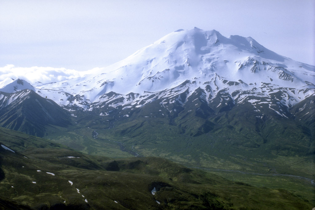
View, looking southeast, of Chiginagak volcanoElevation 7,287 ft (2,221 m) [1] Location Location Alaska Peninsula National Wildlife Refuge, Lake and Peninsula Borough, Alaska Range Aleutian Range Coordinates 57°08′01″N 156°59′29″W / 57.13361°N 156.99139°WCoordinates: 57°08′01″N 156°59′29″W / 57.13361°N 156.99139°W[2] Topo map USGS Ugashik A-3 Geology Type Stratovolcano[1] Volcanic arc/belt Aleutian Arc Last eruption 1998[1] Chiginagak Volcano is a stratovolcano in the Aleutian Islands, located about 15 km NW of Chiginagak Bay.
Contents
Eruptive history
An unglaciated lava flow and an overlying pyroclastic-flow deposit extending east from the summit are the most recent products of Chiginagak. They most likely originated from a lava dome at 1687m on the SE flank, 1 km from the summit of the volcano. Brief ash eruptions were reported in July 1971 and August 1998. Fumarolic activity occurs at 1600m elevation on the NE flank of the volcano, and two areas of hot-spring travertine deposition are located at the NW base of the volcano near Volcano Creek.
A 400m wide (1300 ft) and 105m deep (350 ft) acidified summit crater lake at Chiginagak formed after November 2004 and before May 2005. In early May 2005, a catastrophic release of acidic water from the lake, with an accompanying acidic aerosol component, drained and flooded Indecision and Volcano Creeks with acidic water, traveled 27 km downstream and flowed into the Mother Goose Lake, headwaters of the King Salmon River. Extensive vegetation damage occurred along the flood route and Mother Goose Lake was acidified (pH of 2.9-3.1), killing all aquatic life and preventing the annual salmon run. The lake now drains from the summit through an outlet cave into Indecision Creek. Indecision Creek now usually has a strong sulphur odar, yellowish color and a pH of 1.2.
Chiginagak is an Eskimo name published in 1888 by the USBF.
See also
References
- ^ a b c "Chiginagak". Global Volcanism Program, Smithsonian Institution. http://www.volcano.si.edu/world/volcano.cfm?vnum=1102-11-. Retrieved 2009-01-20.
- ^ "Chiginagak Description and Statistics". Alaska Volcano Observatory. United States Geological Survey. http://www.avo.alaska.edu/volcanoes/volcinfo.php?volcname=Chiginagak. Retrieved 2009-01-20.
External links
- Alaska Volcano Observatory: Chiginagak
- USGS DDS-40: Volcanoes of the Alaska Peninsula and Aleutian Islands-Selected Photographs
Further reading
- Wood, Charles A.; Jürgen Kienle, eds. (1990). Volcanoes of North America. Cambridge University Press. pp. 61–62. ISBN 0-521-43811-X.
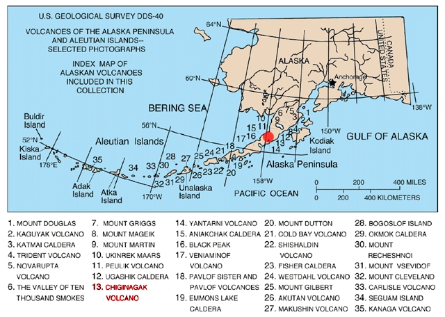
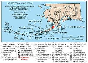 Map showing volcanoes of Alaska. The mark is set at the location of Chiginagak.
 Categories:
- Stratovolcanoes
- Active volcanoes
- Mountains of Alaska
- Volcanoes of Alaska
- Crater lakes
- Landforms of Lake and Peninsula Borough, Alaska
- Aleutian Range
- Southwest Alaska geography stubs
Wikimedia Foundation. 2010.