- Liptovský Hrádok
-
Liptovský Hrádok Town  Castle and manson
Country Slovakia Region Žilina District Liptovský Mikuláš Tourism region Liptov River Váh, Belá Elevation 637 m (2,090 ft) Coordinates 49°02′15″N 19°43′33″E / 49.0375°N 19.72583°E Area 18.23 km2 (7.04 sq mi) Population 7,778 (2006-12-31) Density 427 / km2 (1,106 / sq mi) First mentioned 1341 Mayor Branislav Tréger Timezone CET (UTC+1) - summer (DST) CEST (UTC+2) Postal code 033 01 Area code +421-44 Car plate LM 

 Location in Slovakia
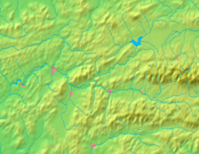
 Location in the Žilina Region
Wikimedia Commons: Liptovský Hrádok Statistics: MOŠ/MIS Website: www.lhradok.sk Liptovský Hrádok (German: Neuhäusel in der Liptau; Hungarian: Liptóújvár) is a town in northern Slovakia, in the region of Liptov.
Contents
History
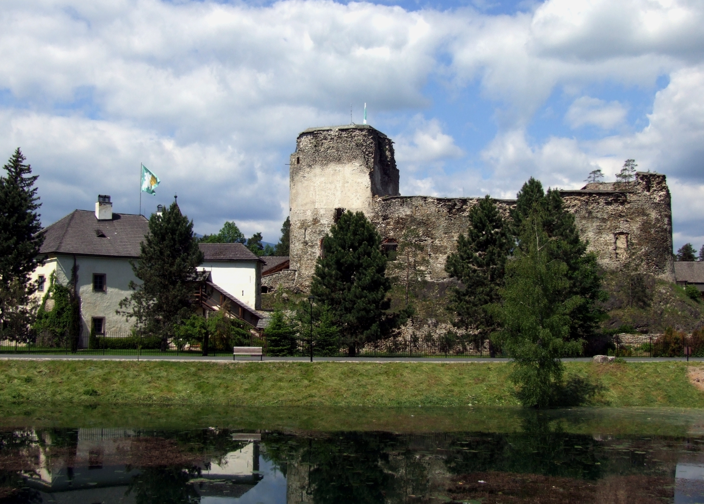
First mentioned in 1341, Liptovský Hrádok was named after the nearby castle. The castle, also known as Liptovský Hrádok, was built originally for use of the forestry commission, hunters of the area and the Catholic Church. The castle was later modified and furnished in the style of Louis XVI.[1] The name of the town and the castle literally means "little castle of Liptov". A salt processing facility was constructed in 1728 to collect salt for the Solivar Salt Works which now is part of Prešov, a Slovak city further to the East. This helped Liptovský Hrádok rise to some prominence in the region. The population centre of the town was the main street, which runs from the castle to the south continuing along to the Váh River and the hamlet of Prekážka.
Geography and climate
The region of Liptovský Hrádok is bordered by the Low Tatras to the south and partially bordered by the West and High Tatras. The town is situated in the middle of the Liptov Basin created by the Váh River. It is in the centre of northern Liptov and lies on the confluence of the rivers Váh and Belá. The average altitude of the town is 637 meters above sea level. Liptovský Hrádok has a moist warm climate with an average temperature about 16 °C (61 °F), while the more mountainous parts are colder. The temperature is about 18–23 °C (
Template:Convert/Dual/LoffAoffDxSoffT
- Invalid output type {4}="def", in {{Convert|18|-|23|def|...}}. ) in the summer and in the winter about −10 °C (14 °F). Rainfall is very frequent in this part and the weather often changes quickly. Snowfall stays on the ground approximately 140 days during the year.Facts about Liptovský Hrádok:
- Liptovsky Hradok had 731 inhabitants in 1869 and currently has 8,232 inhabitants.
- Area of the town: 1.832 ha.
- Average yearly temperature: 6.3 °C (43 °F).
- Maximum temperature: 31.0 °C (88 °F)
- Minimum temperature: -25.0 °C (77 °F)
- Absolute maximum: 34.4 °C (94 °F) (16.08.1952)
- Absolute minimum: −38 °C (−36 °F) (11.02.1929)
- Length of sunshine: 140 hours per a year
- Average rainfalls per a year 691 mm
- Average number of cold days a year: 160.4 days
- Average number of summer days per a year: 28.9 days. [1]
Demographics
According to the 2001 census, the town had 8,232 inhabitants. 97.11% of inhabitants were Slovaks, 1.37% Czechs, 0.72% Roma and 0.15 Hungarians.[2] The religious make-up was 42.23% Lutherans, 31.74% Roman Catholics and 21.14% people with no religious affiliation.[2]
References
- ^ lhradok_SiteTitle
- ^ a b "Municipal Statistics". Statistical Office of the Slovak republic. http://www.statistics.sk/mosmis/eng/run.html. Retrieved 2007-12-25.
External links
Liptovský Hrádok · Liptovský Mikuláš
Beňadiková · Bobrovček · Bobrovec · Bobrovník · Bukovina · Demänovská Dolina · Dúbrava · Galovany · Gôtovany · Huty · Hybe · Ižipovce · Jakubovany · Jalovec · Jamník · Konská · Kráľova Lehota · Kvačany · Lazisko · Liptovská Anna · Liptovská Kokava · Liptovská Porúbka · Liptovská Sielnica · Liptovské Beharovce · Liptovské Kľačany · Liptovské Matiašovce · Liptovský Ján · Liptovský Ondrej · Liptovský Peter · Liptovský Trnovec · Ľubeľa · Malatíny · Malé Borové · Malužiná · Nižná Boca · Partizánska Ľupča · Pavčina Lehota · Pavlova Ves · Podtureň · Pribylina · Prosiek · Smrečany · Svätý Kríž · Trstené · Uhorská Ves · Vavrišovo · Važec · Veľké Borové · Veterná Poruba · Vlachy · Východná · Vyšná Boca · Závažná Poruba · Žiar Categories:
- Cities and towns in Slovakia
- Villages and municipalities in the Žilina Region


Wikimedia Foundation. 2010.