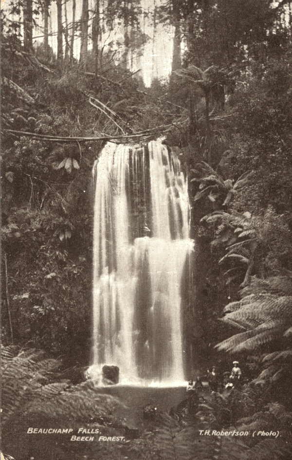
Beech Forest — may refer to:* Beech Forest, Victoria, a town in Australia * English Lowlands beech forests, a Palearctic ecoregion in the British Isles … Wikipedia
Colac, Victoria — Colac Victoria The Princes Highway running through Colac … Wikipedia
Crowes railway line, Victoria — The Crowes railway line was a narrow gauge (RailGauge|30) railway located in the Otway Ranges in south eastern Victoria, Australia, running from the main line to Port Fairy at Colac to Beech Forest and later Crowes.It was the third of four Narrow … Wikipedia
List of localities in Victoria (Australia) — Map of Local Government Areas in Victoria This is a list of locality names and populated place names in the state of Victoria, Australia, outside the Melbourne metropolitan area. It is organised by region from the south west of the state to the… … Wikipedia
Port Fairy railway line, Victoria — VictorianRailwayLineInfobox type = vic name = Port Fairy yearcommenced = yearopened = 1857 yearcompleted = 1890 yearclosed = fate = lengthkm = stations = tracks = Double broad gauge track to Geelong, single beyond. Single standard gauge to North… … Wikipedia
Rail transport in Victoria — Infobox rail railroad name = Railways of Victoria logo filename = logo size = system map caption = Victorian railway network, passenger lines in colour, freight only lines in grey marks = locale = Victoria, Australia start year = 1854 end year =… … Wikipedia
Cressy, Victoria — Cressy Victoria The historic Frenchman s Inn … Wikipedia
Colac railway station, Victoria — VlineRailwayStation1 NAME=Colac CODE=COL DISTANCE=155.39 km LINES=Warrnambool PLATFORMS=1 TRACKS=3 STATUS=Staffed Station FACILITIES= [http://www.viclink.com.au/stop/view/20304 Link] TIMETABLES= [http://www.viclink.com.au/stop/view/20304 Link]… … Wikipedia
Epping Forest — Infobox park park=Epping Forest image size=300px caption=Epping Forest near Epping type=Woodland location=Greater London and Essex coordinates= coord|51.66|0.05 size=24 km² opened=1878 operator=City of London Corporation annual visitors= status=… … Wikipedia
Savernake Forest — Savernake Forest, located between Marlborough and Hungerford in the English county of Wiltshire, is privately owned by the Trustees of Savernake Estate, the Earl of Cardigan and his family solicitor. It extends to some 4,500 acres (18 km²), and… … Wikipedia

