- Col de Port
-
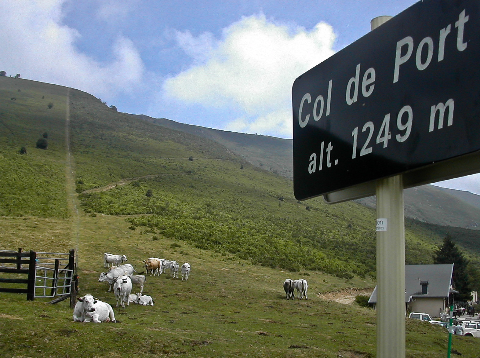
Col de Port 
Cows grazing at Col de PortElevation 1,249 m (4,098 ft) Traversed by D618 Location Location of Col de Port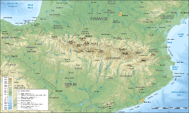
 Col de Port
Location Ariège,  France
Range Pyrenees Coordinates 42°53′56″N 1°27′10″E / 42.89889°N 1.45278°ECoordinates: 42°53′56″N 1°27′10″E / 42.89889°N 1.45278°E Col de Port (el. 1249 m.) is a mountain pass in the French Pyrenees between Massat and Tarascon-sur-Ariège in the “massif de l'Arize”. It links the Couserans and Ariège valleys.
The pass is used occasionally in the Tour de France and is popular with touring cyclists.
The name of the pass is tautological as Col means pass in French and Port means pass in Occitan.
Contents
Details of the climb
Starting from the D 8/ D 618 junction, (Tarascon-sur-Ariège) (east) the Col de Port is 17 km long. Over this distance, the climb is 777 m. (an average of 4.6%). The steepest section is 9.2%.
Starting from Massat, (west) the Col de Port is 12.8 km long. Over this distance, the climb is 601 m. (an average of 4.7%).
From Massat, the D18 to the south links with the route from Aulus-les-Bains and Vicdessos between the Col d'Agnes (1570 m.) and the Port de Lers (1517 m.)
Tour de France
The Col de Port was first used in the Tour de France in 1910. The first cyclist over the summit was Octave Lapize.
Appearances in the Tour de France (since 1947)
The Tour de France has crossed the summit 10 times since 1947, including on stage 15 of the 2007 tour. The 15th stage was selected for the 2007 L'Étape du Tour, in which amateur and club riders ride over a full stage of the tour.
Year Stage Category Start Finish Leader at the summit 2009 8 2 Andorra la Vella Saint-Girons Sandy Casar 2007 15 2 Foix Loudenvielle Juan Manuel Garate 2002 12 2 Lannemezan Plateau de Beille Laurent Jalabert 1998 11 2 Bagnères-de-Luchon Plateau de Beille Roland Meier 1997 10 2 Bagnères-de-Luchon Andorra-Arcalis Laurent Brochard 1976 13 2 Font-Romeu Saint-Gaudens Roland Smet 1968 13 3 Saint-Gaudens La Seu d'Urgell Andres Gandarias 1965 10 3 Bagnères-de-Bigorre Ax-les-Thermes Rik Van Looy 1957 17 Uncategorized Ax-les-Thermes Saint-Gaudens Désiré Keteleer 1947 14 2 Carcassonne Bagnères-de-Luchon Albert Bourlon See also
- List of highest paved roads in Europe
- List of mountain passes
External links
Categories:- Climbs in cycle racing
- Mountain passes of France
- Mountain passes of the Pyrenees
- 2007 Tour de France
- Ariège

Wikimedia Foundation. 2010.