- Hauneck
-
Hauneck 

 HauneckLocation of Hauneck within Hersfeld-Rotenburg district
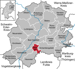

Coordinates 50°49′N 9°44′E / 50.81667°N 9.73333°ECoordinates: 50°49′N 9°44′E / 50.81667°N 9.73333°E Administration Country Germany State Hesse Admin. region Kassel District Hersfeld-Rotenburg Municipal subdivisions 7 districts Mayor Harald Preßmann (FW) Basic statistics Area 17.75 km2 (6.85 sq mi) Elevation 232 m (761 ft) Population 3,250 (31 December 2010)[1] - Density 183 /km2 (474 /sq mi) Other information Time zone CET/CEST (UTC+1/+2) Licence plate HEF Postal code 36282 Area code 06621 Website www.hauneck.de Hauneck is a community in Hersfeld-Rotenburg district in eastern Hesse, Germany.
Contents
Geography
Location
The town of Bad Hersfeld lies right nearby to the north. Some 35 km away lie Fulda to the south and Alsfeld to the west.
The community stretches along the Haune. A few kilometres to the north, the Haune flows into the Fulda.
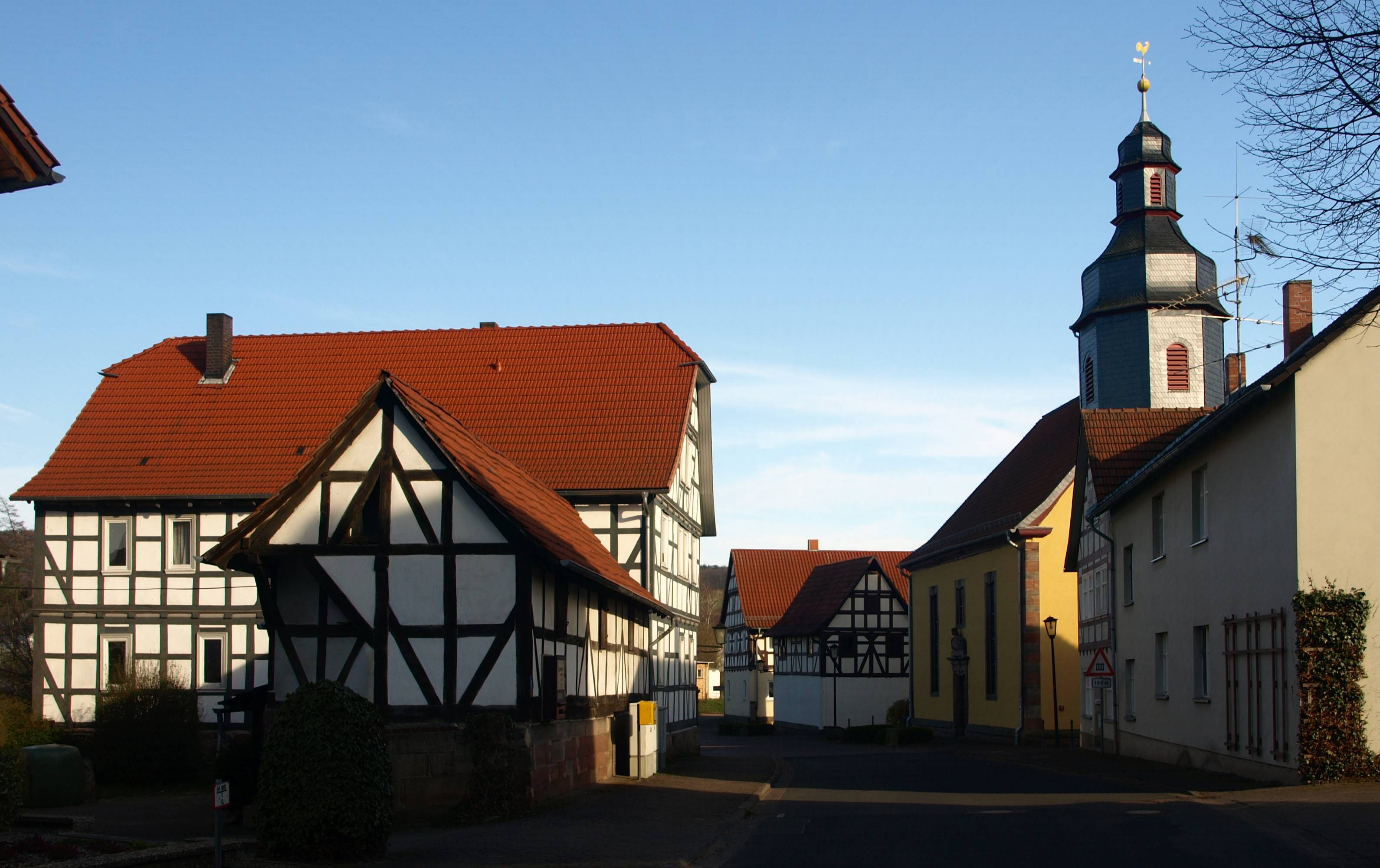
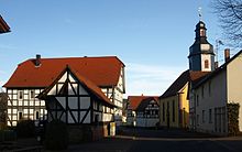 Main street in Unterhaun
Constituent communities
The community’s Ortsteile are Bodes, Eitra, Fischbach, Oberhaun, Rotensee, Sieglos and Unterhaun.
Neighbouring communities
These are Bad Hersfeld, Schenklengsfeld, Eiterfeld, Haunetal and Niederaula.
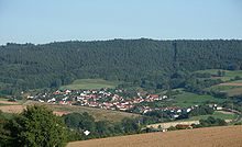
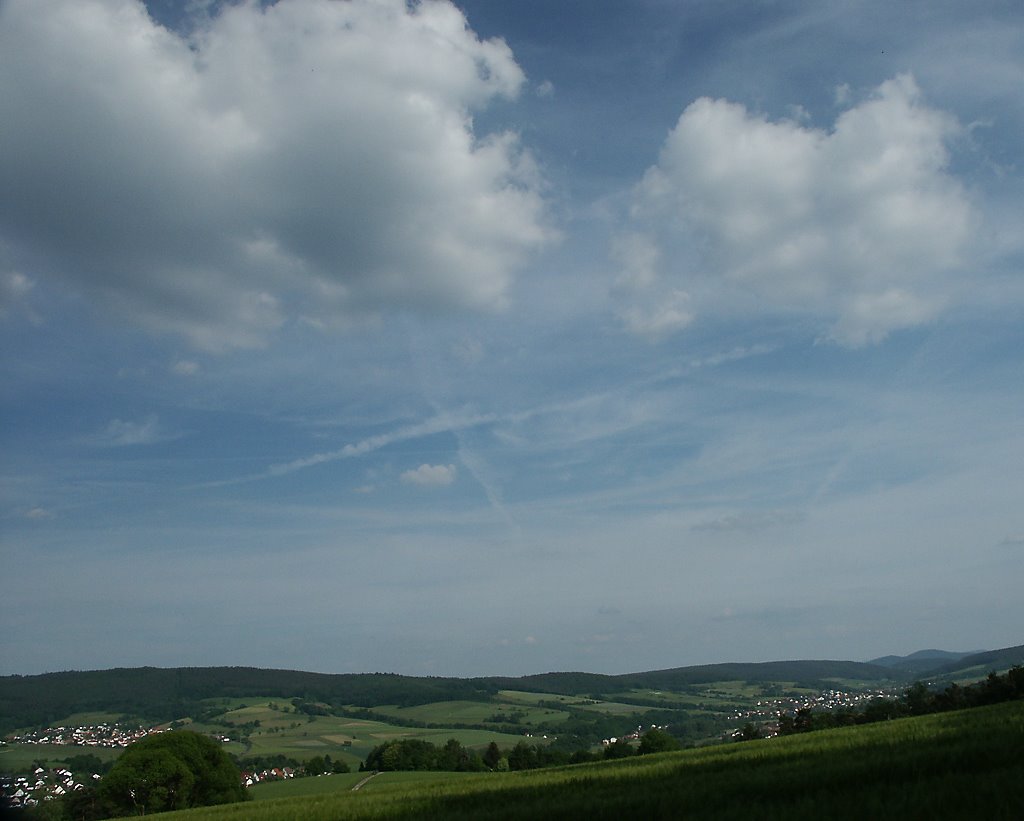
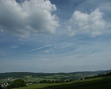 View over Hauneck
History
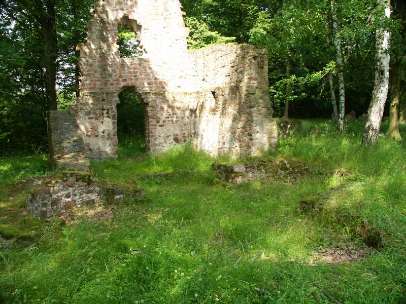
 Church ruins in the mountain graveyard from the 10th century
In 972 came the first documentary mention of a chapel. It is believed to have served as a pilgrimage place. The village developing here had its first documentary mention in 1217 in a document from the abbot of Hersfeld Abbey, Ludwig I to the Vogt (roughly “reeve”) Bertho von Buchenau, in which the place is named as Cruceberc. The chapel served over the centuries that followed as a village church. In the 16th century, the village was forsaken, until the late 17th century when another place, called Unterhaun, arose here. In 1736, the community acquired a new village church. Subsequently, the old chapel up on a bank overlooking the community fell into ruins in this century.
In the Middle Ages, the Knights of Buchenau (Buchenaouwe) held the Amt of Schildschlag and the court district of Johannesberg as a fief from the Hersfeld Abbey. To these areas belonged many of today’s constituent communities. The Abbey also put the knights to work as Vögte. The Vogtei (Vogt’s seat) and the court seat lay together with the St. Johannes provost’s seat at the Johannesberg. Later, under the Landgraves of Hesse, the administrative areas were ruled from Hauneck Castle (now in ruins), out of which then came the community’s name in 1971.
Amalgamations
 Rotensee
Through municipal reform on 31 December 1971, the community of Hauneck came into being with the amalgamation of Oberhaun, Rotensee, Sieglos and Unterhaun. In 1972, the formerly self-administering communities of Bodes, Fischbach and Eitra also joined the community.
Population development
Year 1830 1939 1970 1987 2001 Inhabitants 1,249 2,127 2,990 3,593 3,729 Politics
Community council
The municipal election held on 26 March 2006 yielded the following results:
Parties and voter communities %
2006Seats
2006%
2001Seats
2001CDU Christian Democratic Union of Germany 12.4 3 15.3 3 SPD Social Democratic Party of Germany 55.0 13 63.9 15 FWG Freie Wählergemeinschaft 32.7 7 20.8 5 Total 100.0 23 100.0 23 Voter turnout in % 57.5 60.3 The community’s executive (Gemeindevorstand) is made up of six members, with four seats allotted to the SPD, one to the CDU and 1 to the FWG.
Mayor
The mayor Harald Preßmann (FWG) was elected on 25 January 2004 with 63.0% of the vote.
Coat of arms
The community’s arms might be described thus: Argent a bend wavy azure between seven mullets of six gules.
The wavy bend (diagonal stripe) stands for the Haune, which flows through the community. The mullets of six (six-pointed stars) symbolize the community’s seven constituent communities.
Economy and infrastructure
Transport
Hauneck lies right on Bundesstraße 4, right near interchange 32 (Bad Hersfeld). Bundesstraße 27 runs along the Haune through the community. The Bebra–Fulda railway runs through Hauneck.
Culture and sightseeing
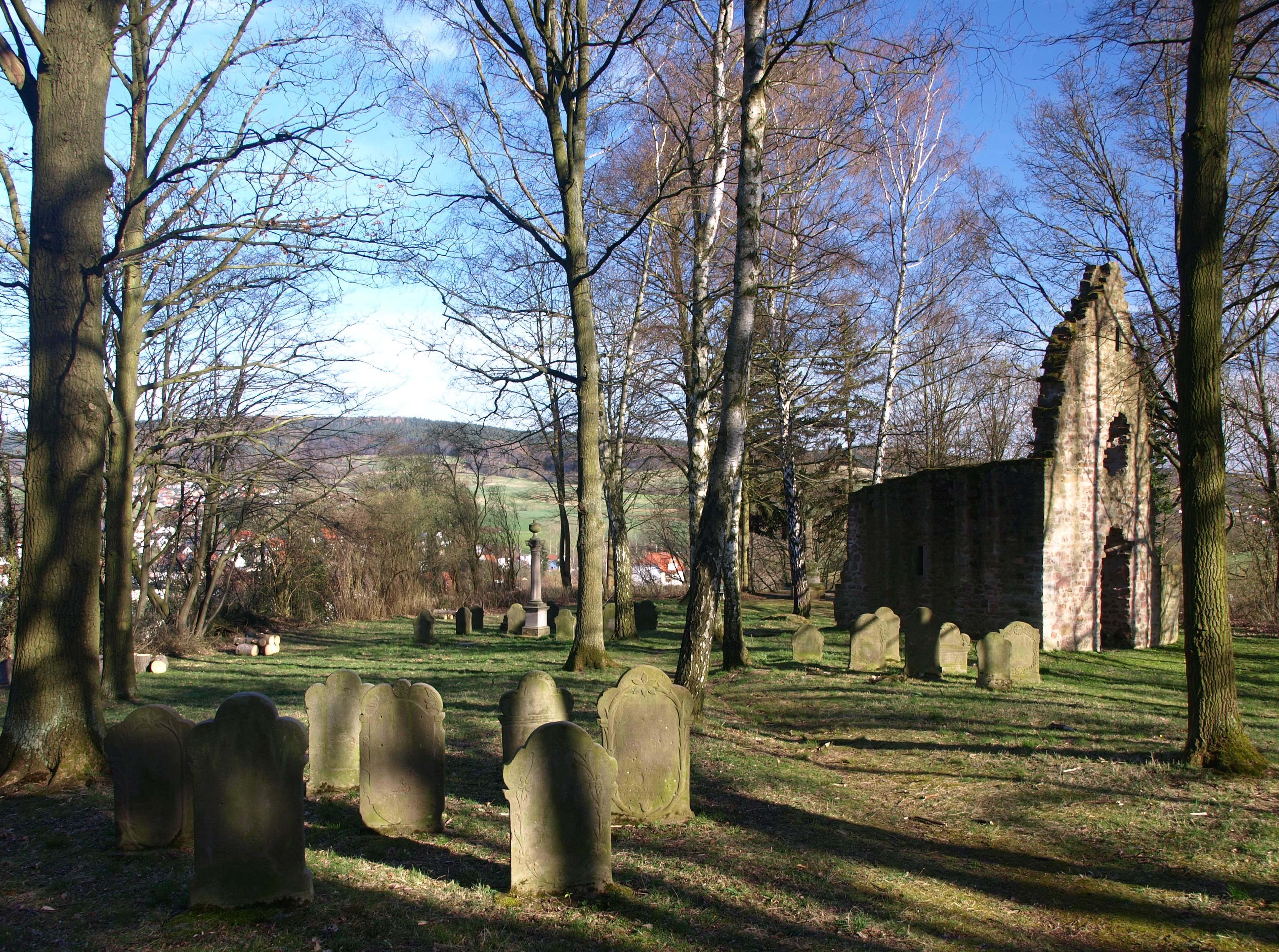
 Kirchberg graveyard and chapel ruins, Unterhaun
Buildings
- Church in Oberhaun from the 14th century
- Old graveyard in Unterhaun with chapel ruins (from 972) on the Crucaberc (Kirchberg)
References
- ^ "Die Bevölkerung der hessischen Gemeinden" (in German). Hessisches Statistisches Landesamt. 31 December 2010. http://www.statistik-hessen.de/static/publikationen/A/AI2_AII_AIII_AV_10-1hj_pdf.zip.
External links
- Community’s official webpage (German)
- Hauneck at the Open Directory Project (German)
- This article incorporates information from the German Wikipedia.
Alheim | Bad Hersfeld | Bebra | Breitenbach | Cornberg | Friedewald | Hauneck | Haunetal | Heringen | Hohenroda | Kirchheim | Ludwigsau | Nentershausen | Neuenstein | Niederaula | Philippsthal | Ronshausen | Rotenburg | Schenklengsfeld | Schwarzenhasel | Wildeck Categories:
- Municipalities in Hesse


Wikimedia Foundation. 2010.