- Gisela, Arizona
Infobox Settlement
official_name = Gisela, Arizona
settlement_type = CDP
nickname =
motto =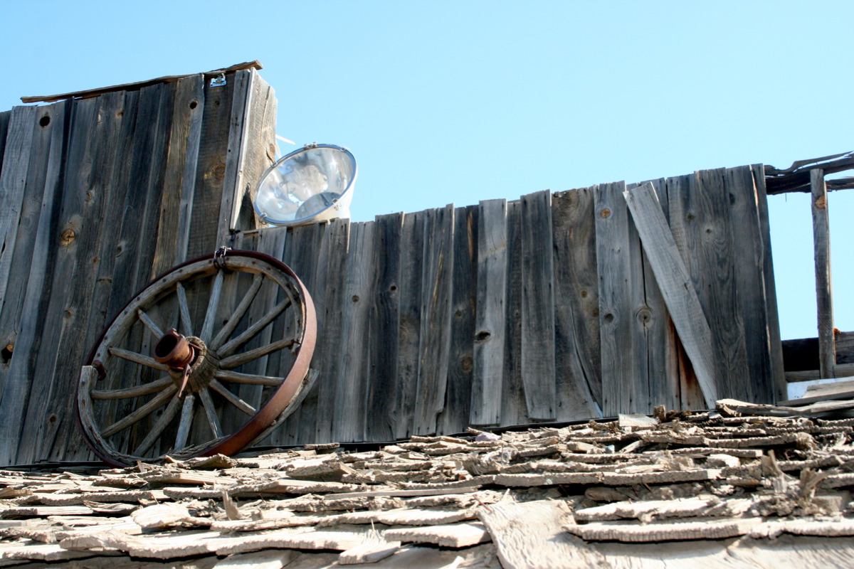
imagesize = 250px
image_caption = Old store in Gisela
image_
image_
mapsize = 250px
map_caption = Location of Gisela, Arizona
mapsize1 =
map_caption1 =subdivision_type = Country
subdivision_name =United States
subdivision_type1 = State
subdivision_name1 =Arizona
subdivision_type2 = County
subdivision_name2 = Gila
government_footnotes =
government_type =
leader_title =
leader_name =
leader_title1 =
leader_name1 =
established_title =
established_date =area_footnotes =
area_magnitude =
area_total_km2 = 7.5
area_land_km2 = 7.5
area_water_km2 = 0.0
area_total_sq_mi = 2.9
area_land_sq_mi = 2.9
area_water_sq_mi = 0.0population_as_of = 2000
population_footnotes =
population_total = 532
population_density_km2 = 71.3
population_density_sq_mi = 184.8timezone = Mountain (MST)
utc_offset = -7
timezone_DST =
utc_offset_DST =
elevation_footnotes =
elevation_m = 878
elevation_ft = 2881
latd = 34 |latm = 6 |lats = 7 |latNS = N
longd = 111 |longm = 17 |longs = 7 |longEW = Wpostal_code_type =
ZIP code
postal_code = 85541
area_code = 928
blank_name = FIPS code
blank_info = 04-27540
blank1_name = GNIS feature ID
blank1_info = 0029332
website =
footnotes =Gisela is a
census-designated place (CDP) in Gila County,Arizona ,United States . The population was 532 at the 2000 census.Gisela was named after the heroine in the book "COUNTESS GISELA" by E. Marlitt. The town schoolteacher was reading the book to her students when she was asked by her husband, the postmaster, to help name the little settlement. She asked the school children what names they liked, and they voted to name their new town Gisela. They didn't know how to pronounce the name correctly, so they called it Guy-SEE-la. [http://sophie.byu.edu/literature/index.php?p=text.php&textid=1837]
Geography
Gisela is located at coor dms|34|6|7|N|111|17|7|W|city (34.101809, -111.285194)GR|1.
According to the
United States Census Bureau , the CDP has a total area of 2.9square mile s (7.5km² ), all of it land.Tonto Creek flows through Gisela on its way toRoosevelt Lake .Demographics
As of the
census GR|2 of 2000, there were 532 people, 225 households, and 161 families residing in the CDP. Thepopulation density was 184.8 people per square mile (71.3/km²). There were 295 housing units at an average density of 102.4/sq mi (39.5/km²). The racial makeup of the CDP was 94.36% White, 0.19% Native American, 2.26% from other races, and 3.20% from two or more races. 5.64% of the population were Hispanic or Latino of any race.There were 225 households out of which 23.6% had children under the age of 18 living with them, 59.6% were married couples living together, 6.2% had a female householder with no husband present, and 28.4% were non-families. 24.9% of all households were made up of individuals and 12.9% had someone living alone who was 65 years of age or older. The average household size was 2.36 and the average family size was 2.81.
In the CDP the population was spread out with 22.4% under the age of 18, 4.7% from 18 to 24, 25.4% from 25 to 44, 27.4% from 45 to 64, and 20.1% who were 65 years of age or older. The median age was 43 years. For every 100 females there were 91.4 males. For every 100 females age 18 and over, there were 97.6 males.
The median income for a household in the CDP was $24,044, and the median income for a family was $28,750. Males had a median income of $31,328 versus $18,472 for females. The
per capita income for the CDP was $15,974. About 5.8% of families and 11.2% of the population were below thepoverty line , including 17.5% of those under age 18 and 30.2% of those age 65 or over.Attractions
*The Gisela Ruins [http://hikearizona.com/decoder.php?ZTN=911] are
Salado ruins alongTonto Creek just downstream of Gisela.References
External links
Wikimedia Foundation. 2010.