- Ganado, Arizona
Infobox Settlement
official_name = Ganado, Arizona
settlement_type = CDP
imagesize =
image_caption =
image_
imagesize =
image_caption =
image_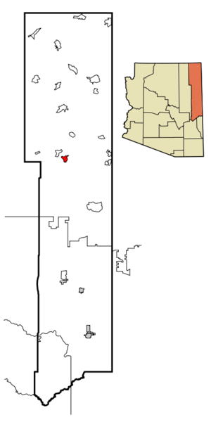
mapsize = 250px
map_caption = Location inApache County and the state ofArizona
mapsize1 =
map_caption1 =
subdivision_type = Country
subdivision_type1 = State
subdivision_type2 = County
subdivision_name =United States
subdivision_name1 =Arizona
subdivision_name2 = Apache
government_type =
leader_title =
leader_name =
established_date =
area_magnitude =
area_total_km2 = 23.1
area_total_sq_mi = 8.9
area_land_km2 = 23.2
area_land_sq_mi = 9.0
area_water_km2 = 0.0
area_water_sq_mi = 0.0
elevation_ft = 6386
elevation_m = 1946
population_as_of = 2000
population_footnotes =
population_total = 1505
population_metro =
population_density_km2 = 64.9
population_density_sq_mi = 168.2
timezone = MST
utc_offset = -7
timezone_DST = MDT
utc_offset_DST = -6
latd = 35 |latm = 42 |lats = 9 |latNS = N
longd = 109 |longm = 33 |longs = 12 |longEW = W
postal_code_type =ZIP code s
postal_code = 86505, 86540
area_code = 928
blank_name = FIPS code
blank_info = 04-26210
blank1_name = GNIS feature ID
blank1_info = 0004920
footnotes =
website =Ganado ( _nv. Lókʼaahnteel) is a
census-designated place (CDP) in Apache County,Arizona ,United States . The population was 1,505 at the 2000 census.Ganado is part of the
Navajo Nation . TheHubbell Trading Post National Historic Site in Ganado is maintained as an example of a 19th centurytrading post .Geography
Ganado is located at coor dms|35|42|9|N|109|33|12|W|city (35.702571, -109.553234)GR|1.
According to the
United States Census Bureau , the CDP has a total area of 8.9 square miles (23.2 km²), all of it land.Demographics
As of the
census GR|2 of 2000, there were 1,505 people, 422 households, and 321 families residing in the CDP. Thepopulation density was 168.2 people per square mile (64.9/km²). There were 507 housing units at an average density of 56.6/sq mi (21.9/km²). The racial makeup of the CDP was 87.31% Native American, 10.76% White, 0.13% Black or African American, 0.13% Asian, 1.13% from other races, and 0.53% from two or more races. 2.39% of the population were Hispanic or Latino of any race.There were 422 households out of which 46.7% had children under the age of 18 living with them, 49.3% were married couples living together, 21.8% had a female householder with no husband present, and 23.7% were non-families. 21.6% of all households were made up of individuals and 3.6% had someone living alone who was 65 years of age or older. The average household size was 3.48 and the average family size was 4.14.
In the CDP the population was spread out with 38.7% under the age of 18, 9.8% from 18 to 24, 26.6% from 25 to 44, 19.2% from 45 to 64, and 5.6% who were 65 years of age or older. The median age was 26 years. For every 100 females there were 94.7 males. For every 100 females age 18 and over, there were 91.3 males.
The median income for a household in the CDP was $38,958, and the median income for a family was $43,281. Males had a median income of $36,250 versus $26,306 for females. The
per capita income for the CDP was $7,500. About 10.3% of families and 18.3% of the population were below thepoverty line , including 29.8% of those under age 18 and 37.8% of those age 65 or over.Education
Ganado is served by the
Ganado Unified School District .The area is served by Ganado Primary School, Ganado Intermediate School, Ganado Middle School, and
Ganado High School .Notable residents
*
Cynthia Tse Kimberlin , ethnomusicologistReferences
External links
Wikimedia Foundation. 2010.