- Mechelroda
-
Mechelroda 
 MechelrodaLocation of Mechelroda within Weimarer Land district
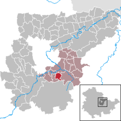
Coordinates 50°54′40″N 11°22′42″E / 50.91111°N 11.37833°ECoordinates: 50°54′40″N 11°22′42″E / 50.91111°N 11.37833°E Administration Country Germany State Thuringia District Weimarer Land Municipal assoc. Mellingen Mayor Wolfgang Prabel Basic statistics Area 4.36 km2 (1.68 sq mi) Elevation 345 m (1132 ft) Population 267 (31 December 2010)[1] - Density 61 /km2 (159 /sq mi) Other information Time zone CET/CEST (UTC+1/+2) Licence plate AP Postal code 99441 Area code 036453 Mechelroda is a municipality in the Weimarer Land district of Thuringia, Germany.
References
- ^ "Bevölkerung nach Gemeinden, erfüllenden Gemeinden und Verwaltungsgemeinschaften" (in German). Thüringer Landesamt für Statistik. 31 December 2010. http://www.statistik.thueringen.de/datenbank/TabAnzeige.asp?tabelle=gg000102%7C%7C.
Categories:- Municipalities in Thuringia
- Weimarer Land geography stubs


Wikimedia Foundation. 2010.