- Burnside, Arizona
Infobox Settlement
official_name = Burnside, Arizona
settlement_type = CDP
imagesize =
image_caption =
image_
imagesize =
image_caption =
image_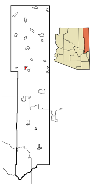
mapsize = 250px
map_caption = Location inApache County and the state ofArizona
mapsize1 =
map_caption1 =
subdivision_type = Country
subdivision_type1 = State
subdivision_type2 = County
subdivision_name =United States
subdivision_name1 =Arizona
subdivision_name2 = Apache
government_type =
leader_title =
leader_name =
established_date =
area_magnitude =
area_total_km2 = 24.1
area_total_sq_mi = 9.3
area_land_km2 = 24.1
area_land_sq_mi = 9.3
area_water_km2 = 0.0
area_water_sq_mi = 0.0
elevation_ft = 6410
elevation_m = 1954
population_as_of = 2000
population_footnotes =
population_total = 632
population_metro =
population_density_km2 = 26.2
population_density_sq_mi = 67.9
timezone = MST
utc_offset = -7
timezone_DST = MDT
utc_offset_DST = -6
latd = 35 |latm = 45 |lats = 18 |latNS = N
longd = 109 |longm = 37 |longs = 49 |longEW = W
postal_code_type =
postal_code =
area_code =
blank_name = FIPS code
blank_info = 04-08535
blank1_name = GNIS feature ID
blank1_info = 1853156
footnotes =
website =Burnside is a
census-designated place (CDP) in Apache County,Arizona ,United States . The population was 632 at the 2000 census.Geography
Burnside is located at coor dms|35|45|18|N|109|37|49|W|city (35.755138, -109.630277)GR|1.
According to the
United States Census Bureau , the CDP has a total area of 9.3 square miles (24.1 km²), all land.Demographics
As of the
census GR|2 of 2000, there were 632 people, 173 households, and 134 families residing in the CDP. Thepopulation density was 67.9 people per square mile (26.2/km²). There were 216 housing units at an average density of 23.2/sq mi (9.0/km²). The racial makeup of the CDP was 91.77% Native American, 7.12% White, 0.63% from other races, and 0.47% from two or more races. 0.63% of the population were Hispanic or Latino of any race.There were 173 households out of which 48.6% had children under the age of 18 living with them, 38.2% were married couples living together, 33.5% had a female householder with no husband present, and 22.0% were non-families. 21.4% of all households were made up of individuals and 3.5% had someone living alone who was 65 years of age or older. The average household size was 3.65 and the average family size was 4.35.
In the CDP the population was spread out with 44.8% under the age of 18, 10.0% from 18 to 24, 27.5% from 25 to 44, 13.6% from 45 to 64, and 4.1% who were 65 years of age or older. The median age was 21 years. For every 100 females there were 92.7 males. For every 100 females age 18 and over, there were 85.6 males.
The median income for a household in the CDP was $24,063, and the median income for a family was $25,441. Males had a median income of $18,661 versus $21,389 for females. The
per capita income for the CDP was $8,236. About 30.6% of families and 38.9% of the population were below thepoverty line , including 48.4% of those under age 18 and 13.2% of those age 65 or over.Education
Burnside is served by the
Ganado Unified School District .The area is served by Ganado Primary School, Ganado Intermediate School, Ganado Middle School, and
Ganado High School .References
External links
Wikimedia Foundation. 2010.