- Diamond Harbour, New Zealand
-
 Diamond Harbour
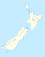
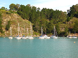
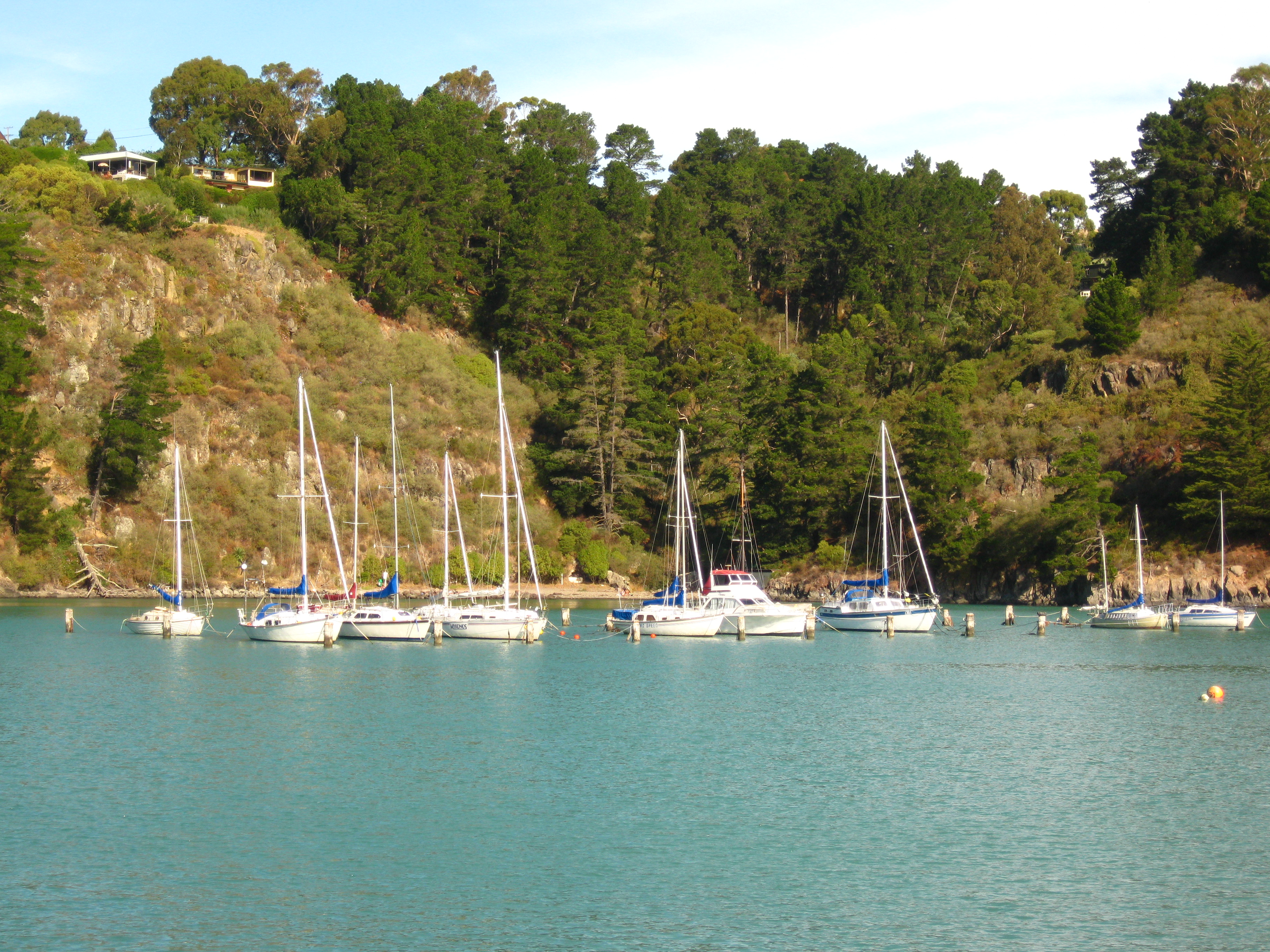
Diamond Harbour is a small settlement on Banks Peninsula, in Canterbury, New Zealand. It is on the peninsula's northern coast, on the southern shores of Lyttelton Harbour, and is administratively part of the city of Christchurch.
The name is applied not only to Diamond Harbour proper but to the nearby settlements of Church Bay, Charteris Bay, and Purau. In the 2006 census, this area had a population of slightly under 1,400.
A ferry connects Diamond Harbour to Lyttelton, on the harbour's northern shore. In combination with buses from Lyttelton to downtown Christchurch, this allows residents of Diamond Bay to commute to the city.
 Diamond Harbour
Still standing are the original cottage and later homestead of Mark Stoddart, the early settler who named the bay for the glint of sunlight on water.[1]
References
External links
Settlements of Banks Peninsula and the Port Hills, Canterbury, New Zealand Settlements Allandale • Ataahua • Akaroa • Barrys Bay • Birdling's Flat • Cass Bay • Charteris Bay • Chorlton • Church Bay • Cooptown • Corsair Bay • Diamond Harbour • Duvauchelle • French Farm • Governors Bay • Gebbies Pass • Gebbies Valley • Hilltop • Kaituna Valley • Kukupa • Lansdowne • Le Bons Bay • Little Akaloa • Little River • Lyttelton • Motukarara • Ohinetahi • Okains Bay • Okuti Valley • Pigeon Bay • Puaha • Puari • Purau • Port Levy • Rapaki • Robinsons Bay • Tai Tapu • Takamatua • Teddington • The Kaik • Wainui •
Port Hills Suburbs Balmoral Hill • Cashmere • Clifton • Cracroft • Ferrymead • Halswell • Heathcote Valley • Hillsborough • Hoon Hay • Huntsbury • Kennedys Bush • Moncks Bay • Moncks Spur • Mt Pleasant • Murray Aynsley • Redcliffs • Richmond Hill • Scarborough • St Andrews Hill • Sumner • Te Onepoto / Taylors Mistake • Westmorland
Coordinates: 43°37′43.6″S 172°43′53.6″E / 43.628778°S 172.731556°E
Categories:- Suburbs of Christchurch
- Populated places in New Zealand

Wikimedia Foundation. 2010.