- Akaroa
Infobox Settlement
name = Akaroa
area_total_km2 = 1.7656
population_as_of = 2006
population_total = 570
population_density_km2 = auto
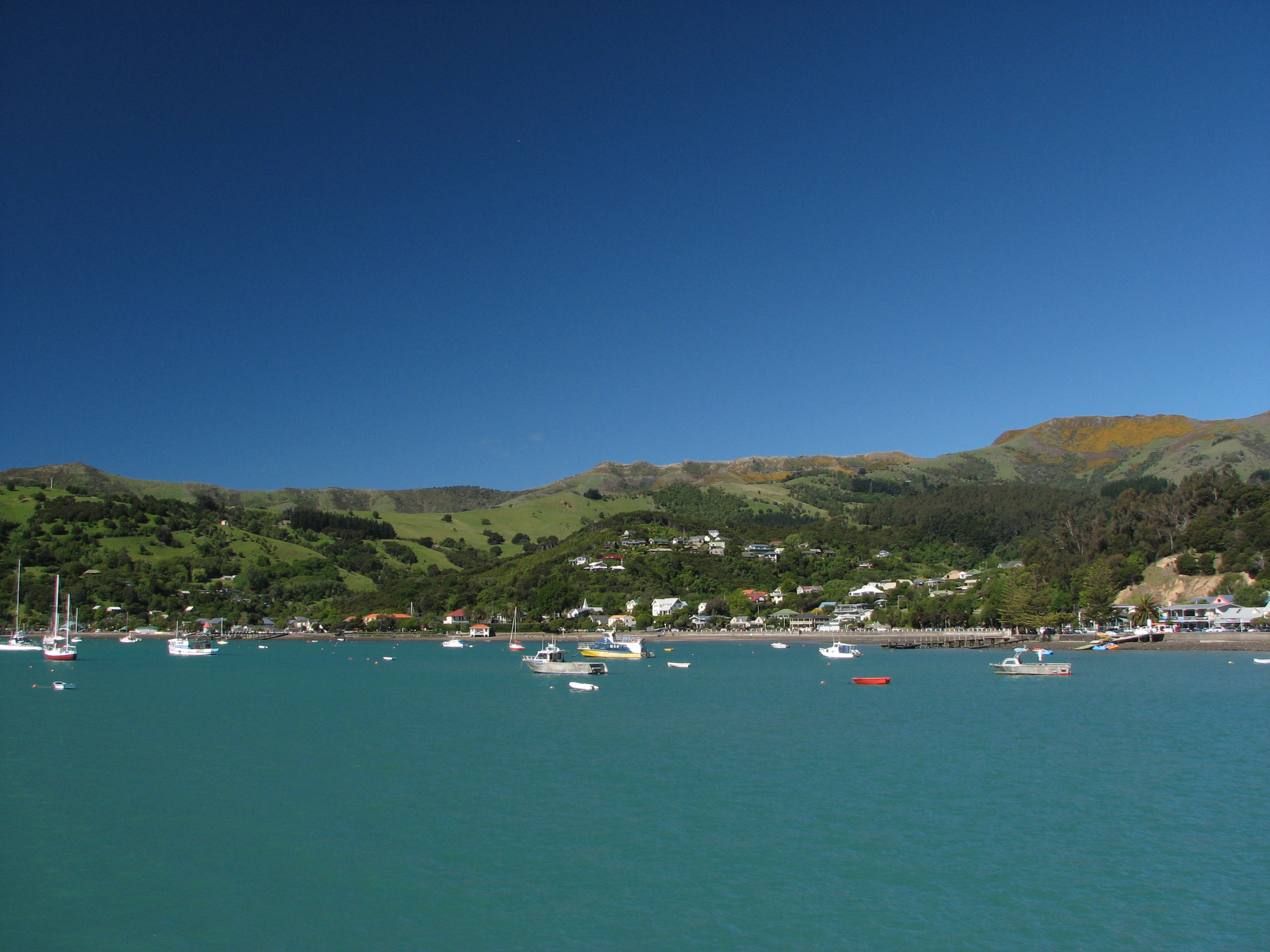
image_caption = Akaroa township from the main wharf: "For the electorate see"
Akaroa (NZ electorate) Akaroa is a village on
Banks Peninsula in the Canterbury region of theSouth Island ofNew Zealand . It is 82 kilometres by road from Christchurch, and is the terminus of State Highway 75.According to the March 2001 New Zealand census of population and dwellings, the permanent population was 576, a decrease of 69 since 1996. The village has a high (31%) ratio of residents aged over 65 years.
Set on a beautiful, sheltered harbour and overlooked by craggy volcanic hills, Akaroa is a popular resort village. In summer the temporary population can reach 7,000 which places stress on the water supply which is entirely dependent upon rainfall on the hills.
Although sailors from the hastily-despatched HMS "Britomart" proclaimed British sovereignty over the South Island at Akaroa in 1840, the area was settled that same year by French settlers who had intended to establish a colony. The area still has a French influence, reflected in many local placenames. [ [http://freepages.genealogy.rootsweb.com/~ourstuff/SettlementatAkaroa.htm A Toe-Hold at Akaroa] ]
Many
Hector's Dolphin s may be found in the harbour, and 'swim with the dolphins' boat tours are a major tourist attraction.The French settlement was known as Port Louis-Philipe; before 1840 it was also known as Wangaloa. The name Akaroa is Kāi Tahu
Māori for 'Long Harbour'.References
*cite book | first=A. W. | last=Reed | title=The Reed Dictionary of New Zealand Place Names | publisher=Reed Books | location=Auckland | year=2002 | id=ISBN 0-7900-0761-4
External links
*cite web | title=Akaroa Walk | url=http://www.tuataratours.co.nz/akaroa-3-day-walk/ | accessdate=2006-05-22
* [http://www.akaroa.com Akaroa - official website]
* [http://www.zoomin.co.nz/nz/banks+peninsula/akaroa/ Akaroa Street Map]
Wikimedia Foundation. 2010.
