- Markham Civic Centre
-
 Markham Civic Centre
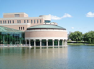
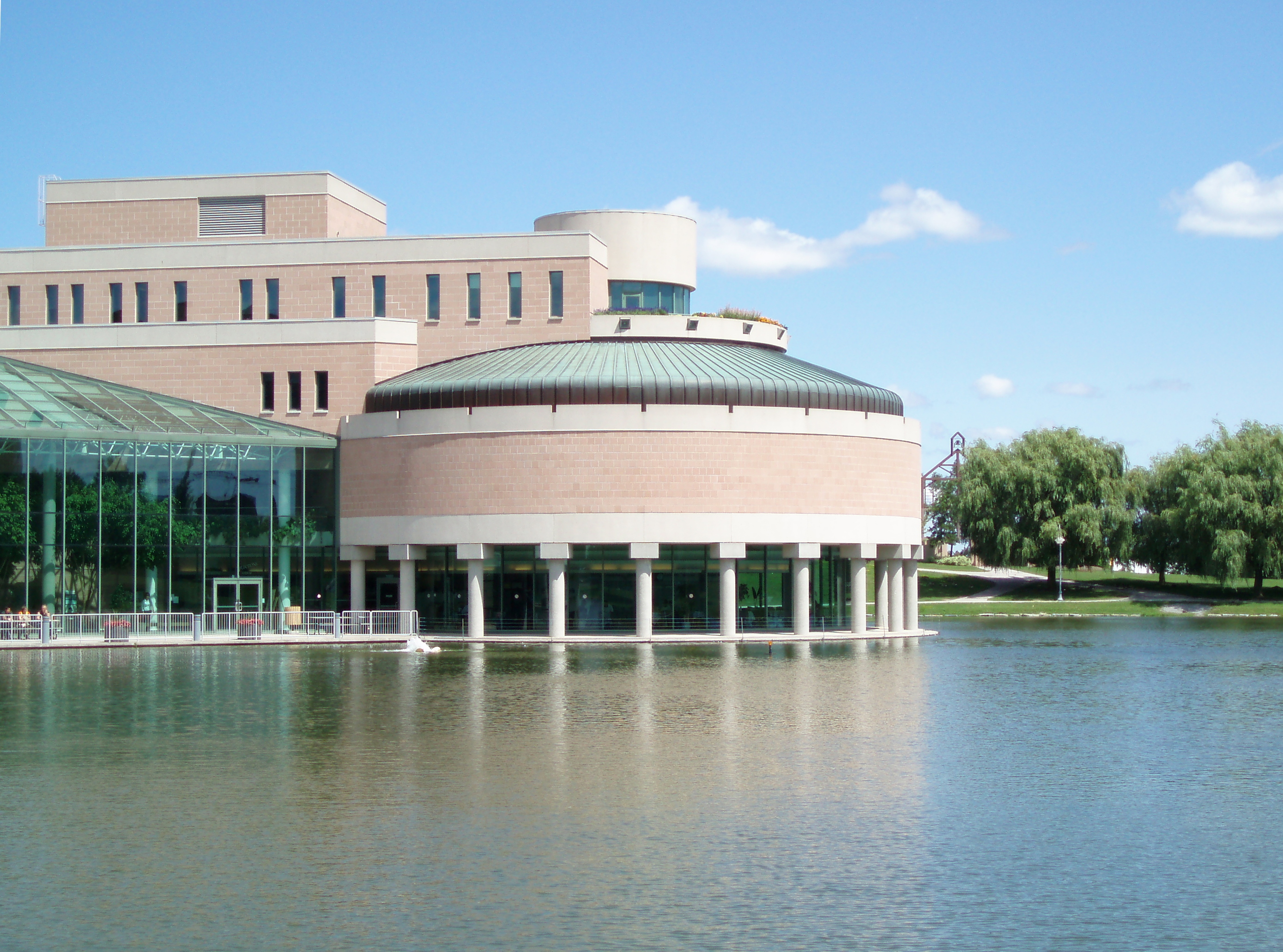
The Markham Civic Centre is the city hall of the town of Markham, Ontario. The brick and glass Civic Centre was designed by architect Arthur Erickson with Richard Stevens Architects Limited and opened in 1989. Entrances, except the great hall entrance, are named after communities in Markham (Unionville, Milliken, Thornhill), part of Erickson's mall theme[citation needed]. The building is adjacent to an 11.5 hectare park with a large pond reflecting the south façade.
The three storey complex is home to
- Markham Town Council chambers - Rotunda
- wedding chapel annex
- mayor and councillor offices
- town offices
- public lobby
- winter garden
- executive wing
- council chambers
- committee rooms
- council library and archives
A reflecting pool is located on the south side of the building alongside a skating rink operated in the winter months. Located next to the civic centre is the Markham Theatre and Unionville High School.
The Civic Centre is a functional building and does not offer much interior features for visitors to explore. There is a split level two glass atrium facing the wedding chapel.
Contents
Bids and winning design
Three architect firms were shortlisted to submitted designs in 1986 for the then Markham Municipal Centre, including Raymond Moriyama[1] Erickson and Barton Myers Associates[2], but the final design was awarded to Erickson.
Erickson's original design was slightly different, but the Town intervened to keep costs at budget ($14.4 million and $5.2 million for landscaping)[3]
When the building was about to begin construction, Erickson's Toronto office faced financial difficulty and challenged the ability for the project to coninue.[4]
Sculptures
There is a single piece of art work located to the east side of the Town Centre. The art work is a skeletal town hall theme with a bell attached.
Previous Town Halls
Markham Town Council sat at two other locations:
- 8911 Woodbine Avenue - demolished and now Chapel Ridge Funeral Home and Cremation Centre
- 96 Main Street Markham - Built by John Wilson 1882, still present as private offices
See also
References
Coordinates: 43°51′24″N 79°20′13″W / 43.8566°N 79.3369°W
Preceded by
8911 Woodbine AvenueSeat of the Town of Markham
1989–Succeeded by
currentCategories:- Arthur Erickson buildings
- City and town halls in Ontario
- Buildings and structures in Markham, Ontario
- Postmodern architecture in Canada
Wikimedia Foundation. 2010.