- Eilean Mhealasta
-
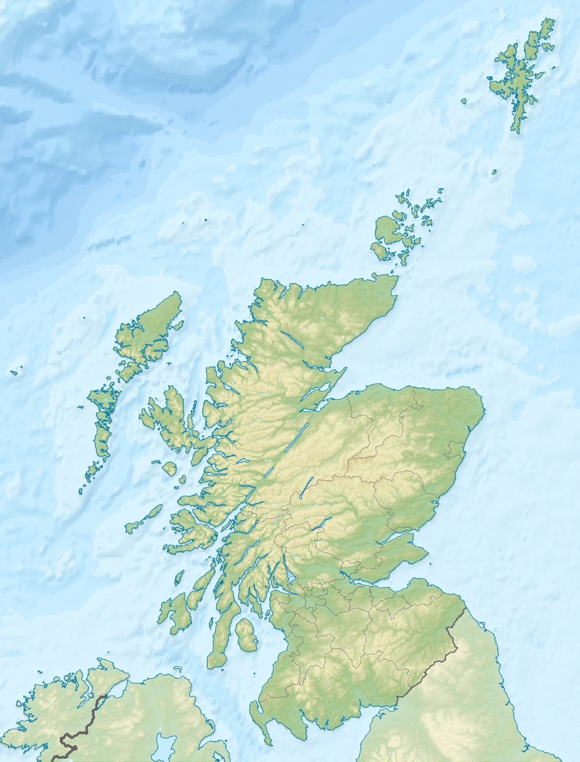
Eilean Mhealasta Location 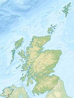
 Eilean Mhealasta
Eilean Mhealasta shown within Scotland OS grid reference NB382099 Names Gaelic name Eilean Mhealasta Norse name muli-stoair Meaning of name promontory farm Area and summit Area 124 ha Area rank 137 Highest elevation Cnoc Àrd 77 m Population Population 0 Groupings Island group Lewis and Harris Local Authority Na h-Eileanan Siar 

References [1][2][3] If shown, area and population ranks are for all Scottish islands and all inhabited Scottish islands respectively. Population data is from 2001 census. Eilean Mhealasta (Mealista Island) is an uninhabited island off the west coast of Lewis in the Outer Hebrides of Scotland. It takes its name from Mealista, a nearby township on Lewis.
History
Nearby Mealista had a shrine to St Catan, but it is not known if the island itself had a Culdee settlement.
The ruins of old buildings of a previous community can still be seen. In 1823 the island was incorporated into a sheep farm. Thereafter no permanent inhabitants were recorded. A folk myth says that anyone born on Eilean Mhealasta will grow up to be an idiot. Haswell-Smith suggests that the landlords started this rumour to encourage residents to leave. In the 1861 census, it was recorded that some sailors from Rosehearty were camping there.
In about 1785 a boat from Mealista carrying a cargo of timber took shelter from a gale at the southernmost point of the Pairc. Nothing more was heard of the crew and on Mealista they were given up as lost at sea. During the following summer, blankets were offered for sale at the annual market day at Stornoway. The blankets were recognised by an unusual identification mark and a confession of murder for the cargo of timber followed.[4]
The island is still used as sheep grazing.[3]
Geography and geology
Eilean Mhealasta lies ½ mile from the west coast of Lewis, 3 miles (4.8 km) south of Brenish (Breanais) and several miles north of Scarp. It is just over a kilometre long, and indented with a bay, Camas Leirageo in the west, which contains, Sgeir na Geòdha Ruaidh. The east coast has a clean sandy beach, while the west coast is rocky.[3]
The island is a bedrock of gneiss, some of which contains a reddish quartz.[3] There are natural arches on the east coast.
References
- ^ 2001 UK Census per List of islands of Scotland
- ^ Ordnance Survey
- ^ a b c d Haswell-Smith, Hamish (2004). The Scottish Islands. Edinburgh: Canongate. ISBN 1841954543.
- ^ "Driftwood and 'The Park Murder'". Lochs Community. http://www.lochslewis.org/content/view/191/36/. Retrieved 2007-12-15.[dead link]
Coordinates: 58°5′N 7°8′W / 58.083°N 7.133°W[[Category:Islands off Lewis and Harris]
Categories:- Natural arches of the United Kingdom
- Lewis
- Western Isles geography stubs
Wikimedia Foundation. 2010.