- Oropesa, Spain
-
For other uses, see Oropesa.
Oropesa — Municipality — 
Flag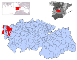 Location in Spain
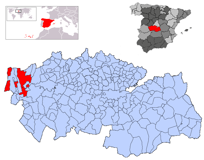
 Oropesa
Coordinates: 39°55′9″N 5°10′40″W / 39.91917°N 5.17778°WCoordinates: 39°55′9″N 5°10′40″W / 39.91917°N 5.17778°W Country  Spain
SpainAutonomous community  Castile-La Mancha
Province Toledo Comarca Campana de Oropesa Judicial district Talavera de la Reina Government - Alcalde Juan Antonio Morcillo Reviriego (2007) Area - Total 337 km2 (130.1 sq mi) Elevation 425 m (1,394 ft) Population (2008) - Total 2,940 - Density 8.7/km2 (22.6/sq mi) Demonym Oropesano, na Time zone CET (UTC+1) - Summer (DST) CEST (UTC+2) Postal code 45560 Dialing code 925 Official language(s) Castillian Website Official website Oropesa is a Spanish town in the province of Toledo. The town of 2,872 is famous for its castle-turned-parador, which was built in 1402.[1] The parador was formerly the residence of the Toledo family of nobles. This includes Francisco de Toledo, Count of Oropesa, who became the Viceroy of Peru.
The town has a yearly celebration in April called "Jornadas Medievales", or "Medieval Days", which plays off the presence of the Castle in Oropesa.
References
- ^ Datos de Oropesa. http://www.e-oropesa.com/
See also
Categories:- Municipalities in Toledo province
- Castile-La Mancha geography stubs


Wikimedia Foundation. 2010.