Wantagh (LIRR station)

Wantagh (LIRR station)

Infobox Station
name=Wantagh
style=LIRR


image_size=
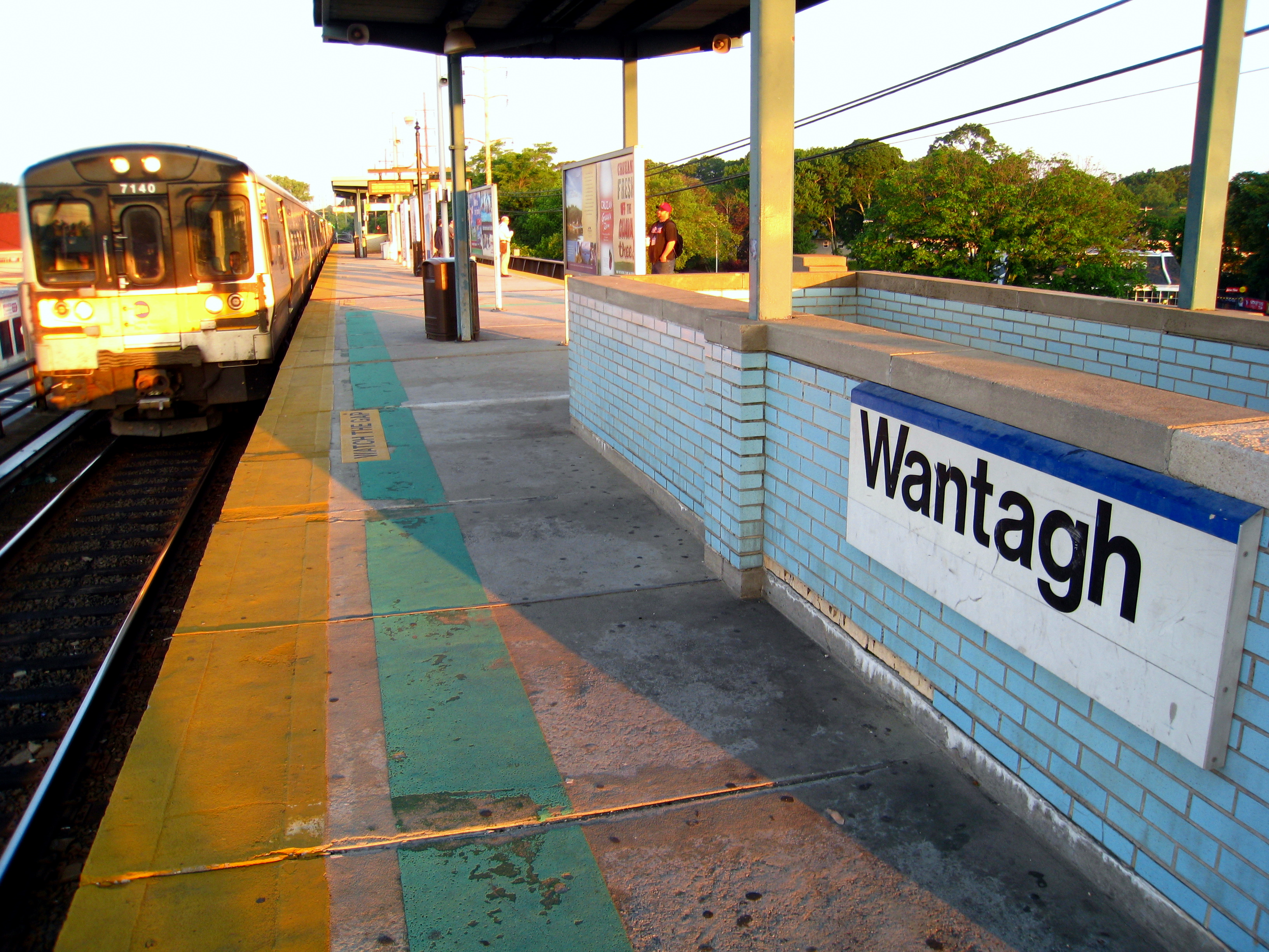
image_caption=South platform at Wantagh Station as an eastbound M7 train arrives
address=Wantagh Avenue & Railroad Avenue
Wantagh, New York.
line=rail color box|system=LIRR|line=Babylon
other=MTA Long Island Bus
Yellow Cab
platform=1 Island Platform
tracks=2
parking=Yes
bicycle=Yes
baggage_check=
passengers=
pass_year=
pass_percent=
pass_system=
opened=1867
closed=
rebuilt=1885, 1966-1967
ADA=yes
code=
owned=MTA
zone=7
former="Ridgewood Station"(1867-1891)
services=
mpassengers=

Wantagh is a station along the Babylon Branch of the Long Island Rail Road. It is located on Wantagh Avenue & Railroad Avenue near NY 27 (Sunrise Highway) in Wantagh, New York.

Wantagh Station was originally named "Ridgewood Station" and was built as a South Side Railroad of Long Island depot between 1867 and 1875. The station was replaced in 1885 and renamed "Wantagh" in 1891. Like so many stations along the Babylon-Montauk Branch, it was one of many that were elevated throughout Nassau and Western Suffolk Counties during the 1950s and '60s, in this case between 1966 and 1967. The former station was restored as part of the Wantagh Museum in 1969 and added to the National Register of Historic Places in 1983.

Wantagh Station serves as a terminus for some eastbound afternoon rush-hour trains.

MTA Long Island Bus Connections

*N73: Wantagh-Hicksville
*N74: Wantagh-Hicksville
*N87: Jones Beach Summer service

External links

* [http://lirr42.mta.info/stationinfo.asp?station=111 Official MTA-LIRR Wantagh Station website]
* [http://www.lirrhistory.com/mar2000/wantaugh.jpgMarch 2000 Photo (Unofficial LIRR History Website)]
* [http://subwaynut.com/lirr/wantagh/index.html Wantagh Station (The SubwayNut)]
*Former Wantagh Station (Sam Berliner):
** [http://home.att.net/~iiitoo-1/rrpix/wantagh2.jpgPreserved former Wantagh station]
** [http://home.att.net/~iiitoo-1/rrpix/wantagh1.jpg1912 LIRR Parlor/Solarium/Business/Observation car]
* [http://www.wantagh.li/museum/ Wantagh Museum]
* [http://www.nationalregisterofhistoricplaces.com/NY/Nassau/state3.html Wantagh Railroad Complex (Building - #83001716)]
*Geolinks-US-buildingscale|40.672937|-73.509098

###@@@KEYEND@@@###


Wikimedia Foundation. 2010.

Игры ⚽ Поможем сделать НИР

Look at other dictionaries:

  • Ridgewood (LIRR station) — The following Long Island Rail Road stations were called Ridgewood:*Ridgewood (South Side Railroad of Long Island station) the original name for Wantagh (LIRR station) along the Babylon Branch from 1867 to 1891. *Ridgewood (LIRR Evergreen… …   Wikipedia

  • Hicksville (LIRR station) — Infobox Station name=Hicksville style=LIRR image size= image caption=Hicksville Station from Platform A, facing west toward New York address=Newbridge Road West Barclay Street Hicksville, NY line= other=MTA Long Island Bus Yellow Cab platform=2… …   Wikipedia

  • Merrick (LIRR station) — Merrick Merrick Station as seen from Sunrise Highway …   Wikipedia

  • Wantagh, New York — Infobox Settlement official name = Wantagh, New York settlement type = CDP nickname = The Gateway to Jones Beach motto = imagesize = image caption = image pushpin pushpin label position = pushpin map caption =Location within the state of New York …   Wikipedia

  • Bethpage, New York — Infobox Settlement official name = Bethpage, New York settlement type = CDP nickname = motto = imagesize = image caption = image mapsize = 250px map caption = pushpin mapsize1 = map caption1 = subdivision type = Country subdivision name = United… …   Wikipedia

  • Bethpage Purchase — The Bethpage Purchase was a 1687 land transaction, in which Thomas Powell bought more than convert|15|sqmi|km2 in central Long Island, New York for £140 (English pounds sterling) from local Indian tribes, including the Marsapeque, Matinecoc, and… …   Wikipedia

  • Wyandanch, New York — Infobox Settlement official name = Wyandanch, New York settlement type = CDP nickname = motto = imagesize = image caption = image pushpin pushpin label position =none pushpin map caption =Location within the state of New York pushpin mapsize =… …   Wikipedia

  • New York State Route 135 — This article is about the current alignment of NY 135. For previous alignments of NY 135, see New York State Route 135 (disambiguation). NYS Route 135 Seaford – Oyster Bay Expressway …   Wikipedia

  • Mineola, New York —   Village   Old Nassau County Courthouse …   Wikipedia

  • Лонг-Айленд — У этого термина существуют и другие значения, см. Лонг Айленд (значения). Лонг Айленд …   Википедия

Share the article and excerpts

Direct link
Do a right-click on the link above
and select “Copy Link”